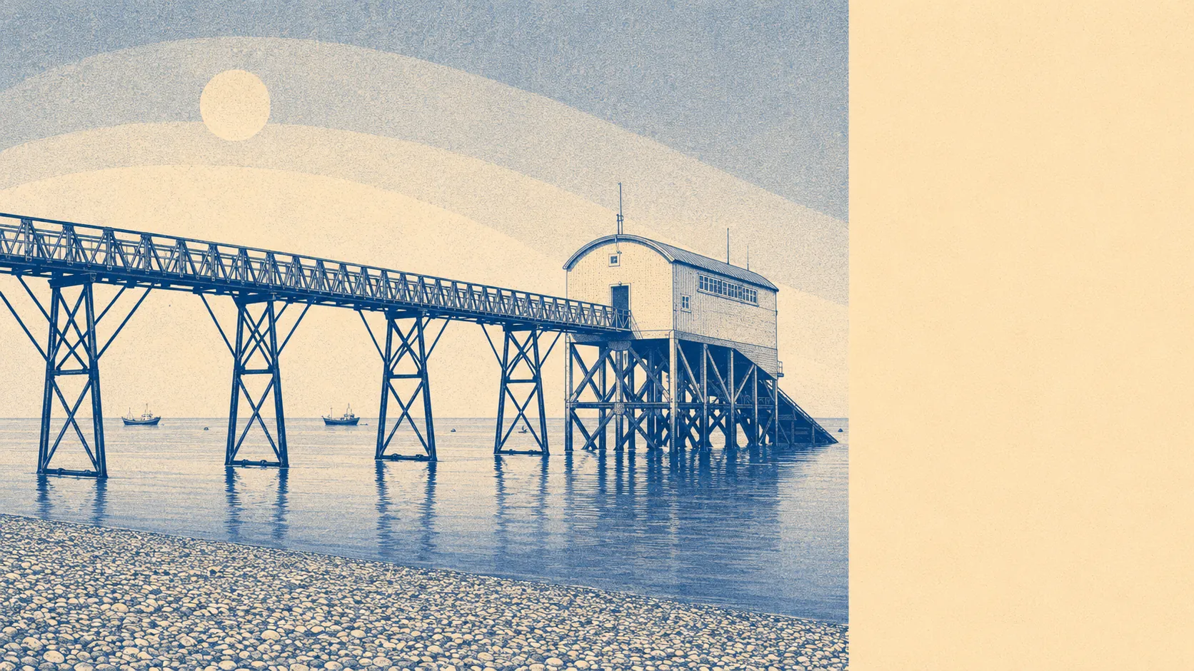
Open and quiet, with a lot of coast and a lot of green. The Selsey peninsula sits at the southern end of a string of villages and shoreline that runs from Pagham Harbour in the east round to Bracklesham Bay in the west. The average postcode is around 230m from the nearest green space and roughly 280m from open water. None of the formal landscape designations sit on top of the residential housing stock here, which means the planning protection is geographic rather than statutory. The dead-end peninsula is its own protection: nobody passes through Selsey to get somewhere else.
Green space is dense and close to hand. The average postcode sits around 230m from a park, playing field, or open ground, with about fourteen named green spaces inside a kilometre walk. Blue space, which counts open water, sits at around 280m from the average postcode, with more than thirty water features inside a kilometre. That second number is high because the peninsula is essentially water on three sides. The geography does most of the work. There is no need to drive to find somewhere to walk a dog or push a buggy. The choice for a Sunday morning here is not whether to get outside, but which direction to head and which footpath to take.
The character of the surroundings is small-village-with-coast rather than seaside-resort-with-pier. The nearby places run through Bracklesham, Church Norton, East Beach, Keynor Estate, and Norton, each carrying its own slightly different feel within a few miles of the town centre. Bracklesham Bay runs along the western coast as a Site of Special Scientific Interest. East Beach holds its own geological designation at the south-eastern end. To the north sits Pagham Harbour, a sheltered tidal inlet with its own conservation interest and a ringwork south of St Wilfred's Chapel that the historical record carries as a scheduled monument. Conservation-area protection covers central Selsey, the village of Earnley nearby, and Sidlesham Quay further toward the harbour. The result is a coastline that mixes shingle beach, harbour edge, low cliff and reclaimed field within the kind of distance that does not need a map to navigate. The National Cycle Network runs close enough that around two in five postcodes sit within a short walk of a designated route, and the average postcode is about six hundred metres from the nearest cycle path. Walking is more honest than driving in most directions, because the peninsula's roads were not built to be efficient and the back paths usually are.
The surrounding area lands at four and a half out of five, the highest single dimension on the place's scorecard. Coast, harbour, beach, field and village in a tight enough package that the whole peninsula functions as the back garden. Most people who live here stay because of what is outside the front door, not what is behind it.