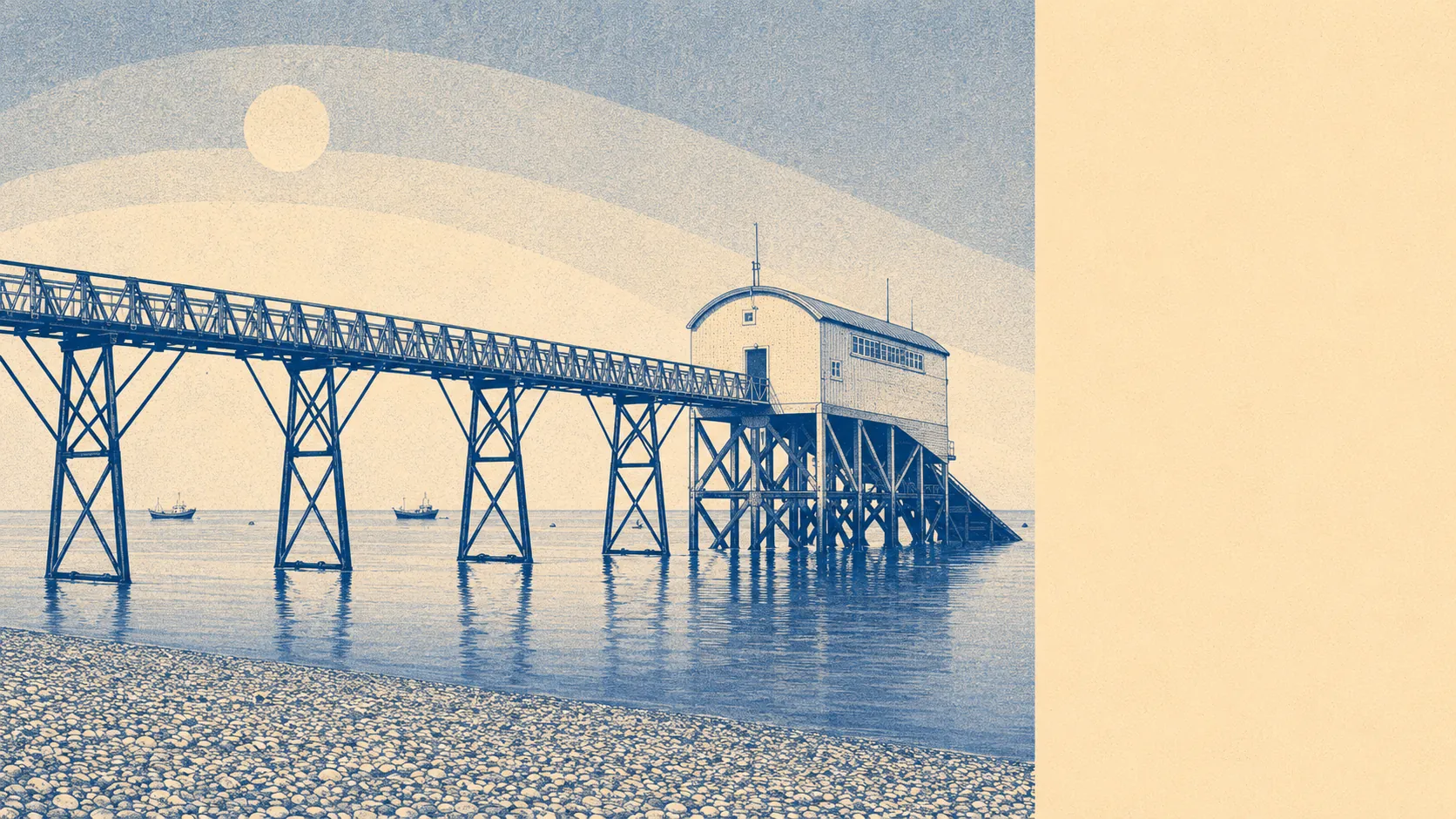
Yes. Selsey faces meaningful flood risk from sea, rivers and surface water, and the published maps do not soften the picture. Around a quarter of postcodes sit inside Environment Agency Flood Zone 3, the highest current band for tidal and river risk. Over half of the town's postcodes sit within 500m of the coast. The climate-adjusted mapping puts the entire area in some kind of future-risk band. Anyone buying here needs to know the flood map of their exact plot, not just the postcode.
Flood Zone 2, the medium-probability tidal and river band, covers about 4% of postcodes. Zone 3, the high-probability band, covers around a quarter. That is the present-day picture, before any climate adjustment is applied. The exposure runs along Bracklesham Bay and the Pagham Harbour edge, with the southern tip of the peninsula carrying the heaviest load. The town is, by geography, low-lying, flat, and held in place by sea defences rather than topography.
Surface water risk compounds the river-and-sea picture. On the combined flood mapping, around a fifth of postcodes carry high risk from at least one source, with another quarter in the medium band, and about four in ten in the low band. Surface water is the quiet half of the story: heavy rain backs up behind the drainage network and pools where the land falls. On a flat peninsula with no high ground and a single drainage outlet, water has nowhere to go quickly. About one and a half per cent of postcodes carry a recorded historic flood event in the published record, which understates the running nuisance, because most surface-water events never get logged as a formal flood.
The climate-adjusted picture is the more telling one. 100% of postcodes inside the area sit in some future climate flood-risk band on the published mapping. That does not mean every property floods. It means every property sits inside an area flagged for future-risk planning. The shoreline management policy running on every Selsey postcode is Hold the Line for the next twenty, fifty and hundred-year horizons, which means defences are being maintained rather than the coast being let back. The Portsmouth tide gauge, the nearest long-record station, has logged sea level rising by about 2mm a year across its sixty-year record. None of that reverses inside the lifetime of a current mortgage.
For insurance, the practical picture is straightforward. Any property inside Flood Zone 3 needs careful underwriting, and a specialist broker is often the quicker route to cover than the price-comparison site. Mainstream insurers price flood risk into building cover for properties in high-risk zones, and outright refusal is not unheard of. The government-backed Flood Re reinsurance scheme can step in to make residential cover affordable in higher-risk postcodes, but Flood Re does not cover homes built after 2009, and it does not cover commercial lets or buy-to-let landlords. Get a written insurance quote on the specific property before exchanging contracts, not after.
Flood risk in Selsey lands at two out of five on a scale where five is safest, and it lands there because the geography offers nowhere safer to be. The sea is winning, slowly, and the published maps are honest about which way the line will move next. For most buyers, the question is not whether the risk is real, but whether the property they want is on the right side of the parish for the long run.