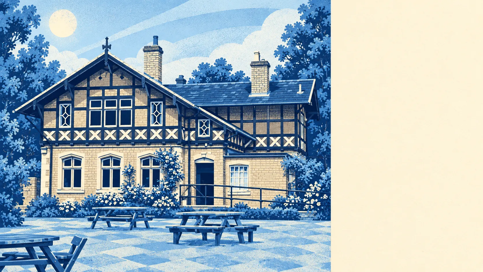
Sandy rewards people who buy a house with plans for it, because only 36 buildings in town are listed and there is no conservation area to argue with. Most of the homes are post-war brick, ready for a loft or a side extension. About two-thirds of residents own their home. The town has a main-line station of its own. The River Ivel runs through the middle and has its own views about where that extension goes.
Of the 36 listed buildings, 35 are Grade II and one is Grade II*, with nothing at Grade I. The Church of St Swithun was largely rebuilt in 1860 and kept its medieval tower, and that is the kind of building where an owner learns patience. A 1990s house on Fallow Field or Ivel Park is the kind where an owner mostly needs a builder. With no conservation area anywhere in Sandy, a dormer or a new set of windows goes through the council's ordinary planning rules. Nobody has to explain the choice of window frames to a committee.
Homes sold for a typical £316,000 in the Land Registry's twelve months to mid-May 2026, across 120 sales. The spread matters more than the middle. The 8 flats sold for a median of about £157,000, the 46 terraces about £272,000, the 38 semis about £340,000 and the 28 detached houses about £414,000. Band B is the most common council tax band, and 38% of homes are in bands A or B. Eight flat sales in a year is a fair hint about who the town was built for.
Central Bedfordshire Council's area as a whole has a typical private rent of about £1,240 a month, as of April 2026. That is an average across the whole authority, and Sandy's own lettings could run either side of it.
On the council's valuation list, terraces make up about 32% of homes, semis 26%, detached houses 24%, flats 11% and bungalows 7%. Only about 15% were built before 1930. The rest is mostly the 1970s London overspill between Sunderland Road and St Neots Road, followed by the 1990s estates, and the energy certificates show it. Of the homes that have one, 55% are rated A to C, 37% D and 8% E or worse. About 82% of homes are on mains gas. Post-war brick has its critics, though it rarely comes with a sash window to restore.
Bedfordshire Police recorded crime in Sandy at about 72 per 1,000 residents in the year to May 2026, roughly 11% above the Central Bedfordshire average. Most categories run close to the national mix. Drugs offences are the exception, at 8% of the total against 4% across England and Wales.
The Ivel is the reason flood risk is Sandy's weakest point, and parts of the town and the land around it are designated as a Flood Warning Area. On the Environment Agency's river-and-sea flood zones the picture is mild: about 3% falls in zone 2 and none in zone 3. The wider measure is less forgiving. About 19% of postcodes carry a high rating on at least one flood indicator including surface water, and 24% a medium one. There are 11 recorded flood events, the most recent in 1987. The name comes from the Old English for a sand-island, so the river has been part of the conversation from the start.
About two-thirds of households own their home and the typical resident is 42. The Office for National Statistics models gross household income at about £64,000 a year before tax for the financial year to March 2023, averaged across the area. This page also covers Beeston, the village inside the same parish just south of town, and Tempsford, further up the A1. Together they make a working town of mortgages, school runs and the occasional dog walk to the Riddy.
Sandy Rail Station is on the East Coast Main Line, served by Thameslink and Great Northern. Even so, at the last census only about 3% of working residents went to work by train, 53% drove and 30% worked from home. Gigabit broadband reaches about 89% of premises, which helps the home workers more than any timetable. There are 47 bus stops in the area. A town with its own main-line station mostly gets to work by car or by laptop.
The nearest green space is about 180 metres from the average postcode, and water about 500 metres. The Riddy, now a local nature reserve by the Ivel at the end of Mill Lane, had a mill beside it from Norman times until the last buildings were demolished in 1977 and replaced with housing. The old Varsity Line from Bedford has been paved over as part of National Cycle Route 51, and a national cycle route is about 290 metres from the average postcode. Sandy turned its mill into houses and its railway into a bike path, and both swaps have aged well.
The names linked to Sandy run from Eudo Fitzhubert, who held it at the Domesday survey of 1086, to Ben Tuck, a racing driver born in 1997. With the A1 running past the town's western edge, the second one at least makes geographical sense.
Sandy is right for buyers who want a house they can change, green space at the end of the road and a station for the days the car stays home. Anyone who wants period character, or a home well away from the river's moods, should look elsewhere.
That freedom is what you are buying here. Few listed buildings and no conservation area mean the loft conversion and the kitchen extension are a matter for you and the planning department and nobody else. The cost is the flat valley the Ivel runs through, where about a fifth of postcodes carry a high flood indicator. Taken together, Sandy is a better place to live than its reputation as a town you pass on the way to somewhere else would suggest, and it is at its best for buyers who choose a street the river leaves alone.