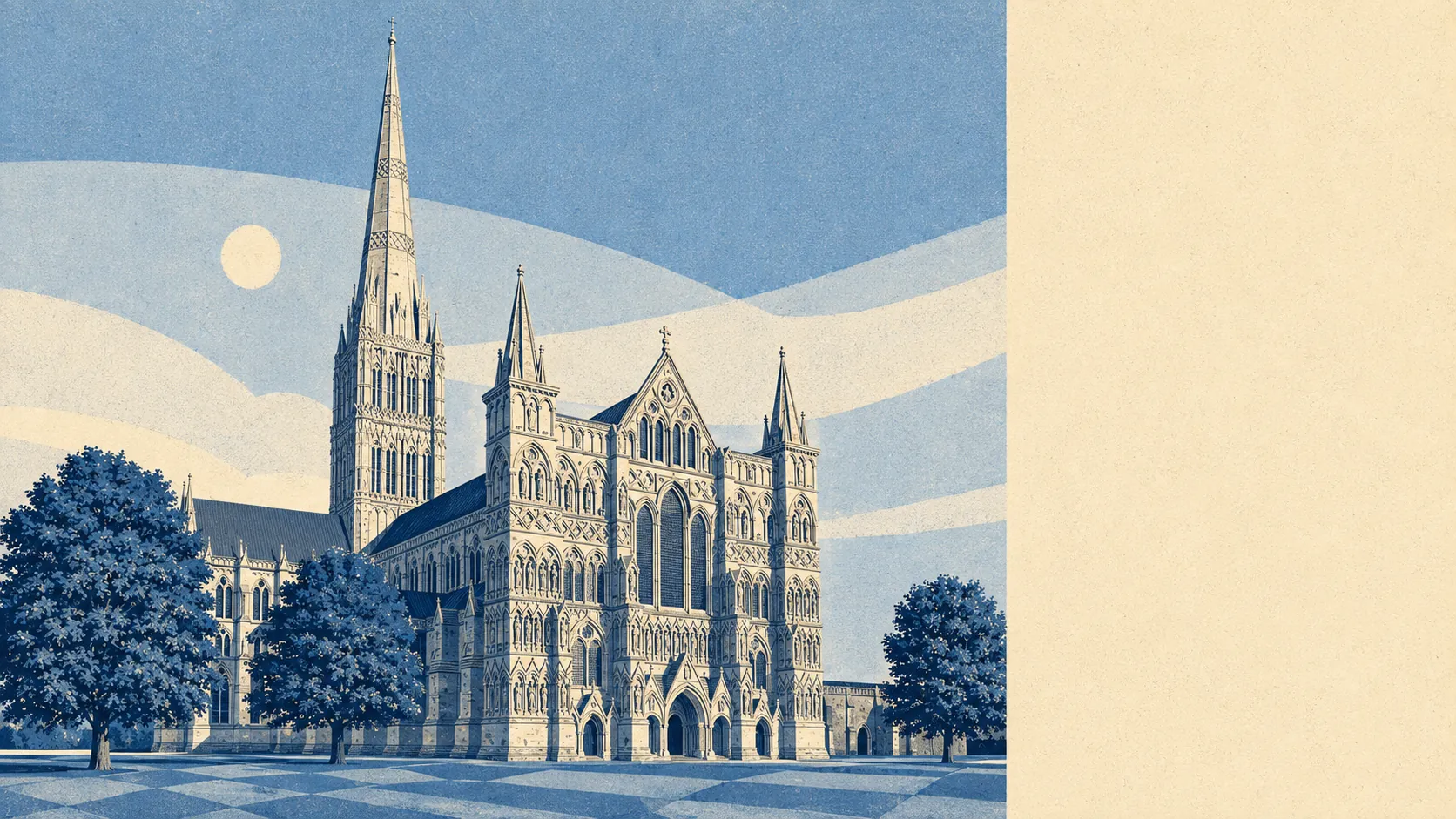
Salisbury has a flood risk because Salisbury was deliberately built in a river valley. The medieval church abandoned a perfectly dry hilltop at Old Sarum and moved the whole city down to where the Nadder meets the Avon, on the stated grounds that the living stream was an attraction. Most of the city sits outside the flood zones. About one postcode in eight rates high on at least one flood measure, and those postcodes are the low ground near the water. The cathedral has stood on shallow foundations in a meadow since 1221, so the arrangement has at least been road tested.
On the Environment Agency's mapping, 7% of the area's postcodes fall inside flood zone 3, the highest-probability river-and-sea band, with a further 9% in flood zone 2. Those two bands are exclusive rather than nested: zone 2 is the additional medium-probability fringe lying beyond zone 3, not a larger circle drawn around it. The fringe being wider than the core is what a flat river valley looks like on a map.
Those zones describe rivers and the sea and nothing else. Surface water sits outside them entirely, which is why the broader postcode-level indicators run higher than the zone shares. What has actually happened is on record too: 2% of postcodes fall inside a recorded historic flood outline, from 24 recorded events, the most recent in January 2014, when a main river exceeded its channel capacity with no raised defences present. Locally none of this is abstract. The Town Path linking Harnham to the rest of the city becomes impassable at times, mostly in winter, which residents treat as weather rather than news.
Looking forward, the Environment Agency's climate-change allowance widens the picture considerably: 24% of postcodes fall inside the climate-adjusted flood zone. That is a modelled allowance applied across the area rather than a forecast for any individual house, and it is the figure a buyer holding a property for thirty years should be looking at rather than the current-day one.
For insurance, this is an address-level question and not a town-level one. Two houses on the same street can price very differently, and the quote is the only honest answer. Get an indicative quote on the specific property before instructing a solicitor, not after the survey comes back, because the premium is the thing that turns flood risk from a map into a monthly cost.
Folding surface water in alongside rivers and sea, 13% of postcodes rate high on at least one measure, 17% medium and 32% low. These bands overlap with the zone shares above rather than adding to them, since a postcode can appear in both. They describe the same city counted a different way.
Counted as homes rather than postcodes, the Environment Agency's rivers-and-sea mapping lists 5,790 properties carrying some level of risk across 291 postcodes, of which 580 are at high risk, 1,107 medium, 2,220 low and 21 very low. Of the high-risk properties, 368 are residential. Only postcodes carrying some risk appear in that list at all, so this is the affected slice of Salisbury rather than the whole of it.
The question nobody asks until the survey lands is whether anything stands between the water and the house. Within the modelled high-risk extent, 9% of postcodes sit in the undefended version and 7% in the defended version. Defended means a defence exists in the model. It does not mean the property is safe, it does not mean the defence is maintained to the standard you would like, and the January 2014 event happened on a stretch with no raised defences at all.
On sea level, the nearest tide gauge with a long record is Portsmouth, where measurements from 1962 to 2023 show a rise of about 2 millimetres a year. Salisbury is inland and its flooding comes from rainfall and channel capacity rather than tide, so treat that as regional context and a measured historic rate, not a prediction about the Avon.
Flood risk in Salisbury is middling, which is the honest and slightly unsatisfying answer. The city as a whole is not a flood town, but a real minority of it sits on ground the rivers have used before, and which side of that line your address falls on is the only version of this question that matters.