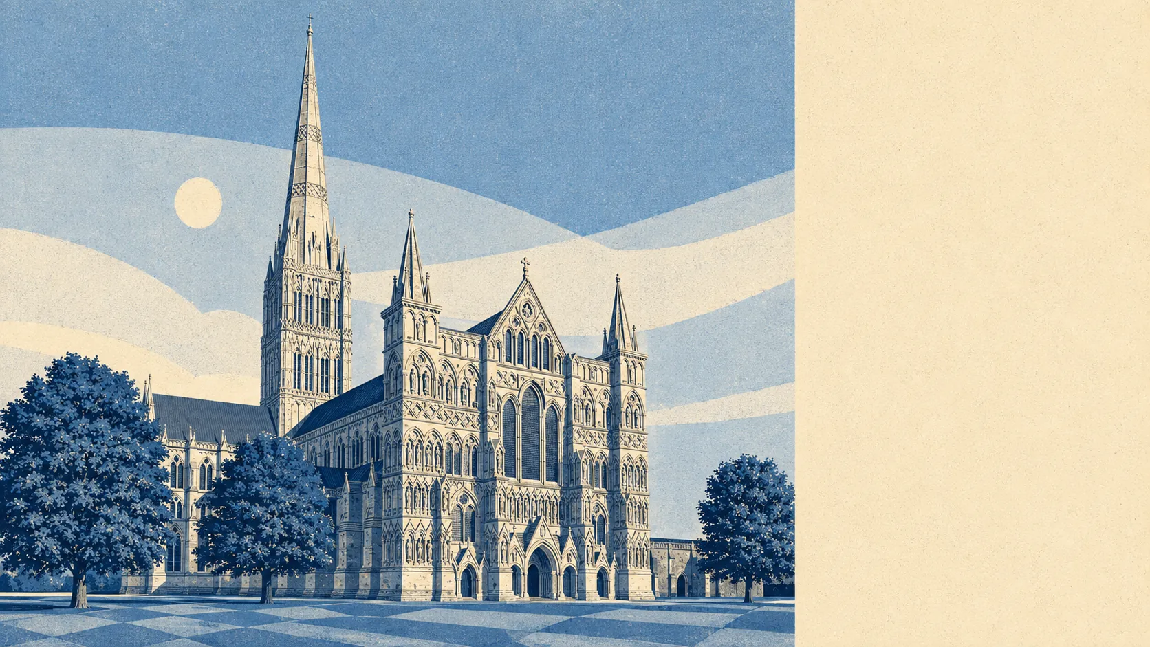
Salisbury is a cathedral city where the interesting bit is everything around it. The spire has been the tallest in the country since the fourteenth century and the city has never quite stopped mentioning it. Green space starts about 140 metres from the average front door. The crime rate runs well above the county average and the city centre is where that happens. The cathedral is the postcard, but the water meadows and the villages are what people actually buy.
The housing stock is a market town's stock rather than a city's. Across every dwelling on the council-tax valuation list, terraces are the largest single group at 28%, semis take 23%, detached 18%, flats 22% and bungalows 8%. Around 27% of it was built before 1930, which is the part that shows in the street scenes and in the heating bills. About 76% of homes run on mains gas, and roughly 11% are on electric-only heating, which in a pre-war property is a running-cost fact worth knowing before you view rather than after the first winter. On energy certificates, 58% sit in bands A to C, 33% land in band D and 9% are band E or worse. The 2,416 homes in band B are mostly the newer edges rather than the old core.
In the Land Registry's last twelve months, to the end of May 2026, the typical Salisbury sale was £307,500 across 555 transactions. Type drives the spread hard. Flats came in at £184,000, terraces at £278,750, semis at £329,000 and detached houses at £480,000, so the difference between the bottom and top of that list is a different life, not a different postcode. Council tax lands mostly in band C, which is the modal band, and about 25% of dwellings sit in bands A or B. This is not a city that prices like a cathedral city until you get to the detached stock.
Renting is a Wiltshire-wide picture rather than a Salisbury one. The typical private rent across the Wiltshire area is about £1,060 a month as of April 2026, up 7% over the year. That is the mean across the whole authority, so treat it as the region's temperature rather than the street's.
Safety is the weak spot, and it is not close. The published rate for the year to May 2026 is about 98 recorded crimes per thousand residents, roughly 58% above the Wiltshire average of 62. Violence and sexual offences make up 35% of the mix, which is broadly the national share, but anti-social behaviour at 20% and public order at 8% both run above the England and Wales pattern. That profile, in a compact city with a night-time centre, tends to concentrate rather than spread. Wiltshire Police charged 10% of recorded crimes over the same period against a national figure of 12%, and recorded no suspect in 34% of cases. Both of those are force statistics rather than Salisbury's own.
Schools are the strongest institutional thing here. Ofsted has graded 128 settings across Wiltshire, of which 106 are good or better and 6 are outstanding, with 20 requiring improvement and 2 inadequate. Locally, key stage 2 maths across 22 schools in these districts averages a scaled score of 105, and key stage 4 attainment across 6 schools averages 52. Salisbury also holds the only grammar schools in the county, South Wilts Grammar School and Bishop Wordsworth's School, both with mixed sixth forms, alongside St Joseph's Catholic School, Sarum Academy and Wyvern St Edmund's. If you are buying for education, this is the reason.
Connectivity is better than a city this size usually gets. Salisbury Rail Station is the crossing point of two lines and runs to London Waterloo, Exeter, Bristol, Bath, Cardiff, Southampton and Portsmouth, though only 1% of residents commute by train and 43% drive. There are 406 bus stops in the area, 344 of them with published service data, averaging 85 weekday services and about 6 buses an hour at peak, and 94% of stops carry a weekend service. Broadband is close to solved: gigabit reaches 97% of premises, superfast 99%, and no premises sit below the universal service obligation. Around 30% of people work from home, which those two facts together explain.
Flooding is the thing to check address by address. Salisbury sits at the confluence of the Nadder and the Avon, and the low ground floods. On the Environment Agency's mapping, 9% of the area falls in flood zone 2 and 7% in flood zone 3, the river-and-sea zones, rising to 24% under the climate-change allowance. On the broader postcode indicators, which include surface water, 13% of postcodes carry a high rating and 17% a medium. There have been 24 recorded flood events, the most recent in January 2014 from channel capacity being exceeded with no raised defences. Against that, green space is genuinely excellent: an average of 140 metres to the nearest, 27 within a kilometre, and water within about 390 metres. Gardens take 23% of the area. No sites of special scientific interest and no area of outstanding natural beauty overlap the boundary, but the chalk downland does most of the work anyway.
Heritage is the constraint nobody mentions until the planning application. There are 679 listed buildings, 39 of them grade one and 141 grade two star, plus four conservation areas including Salisbury itself, Stratford sub Castle, Netherhampton and Old Sarum Airfield, and nine scheduled monuments. Buy inside the Close or the old grid and your window frames, your doors and your roof become a conversation with the council rather than a decision.
The character is settled rather than transient. About 61% own their homes, the typical resident is 44, and household income before tax runs to roughly £60,000 in the financial year to March 2023. That is a place where people arrive and stay, which is charming if you are one of them and slow going if you arrive expecting churn.
This page also covers the villages the city genuinely functions with: Laverstock and Winterslow to the east, Wilton, Quidhampton and Netherhampton to the west, Britford, Odstock, Coombe Bissett and Stratford Tony down the valleys, Alderbury, Clarendon Park, Grimstead, Pitton, West Dean and Whaddon out towards Hampshire, plus Bishopstone, Bowerchalke, Broad Chalke, Dinton, Great Wishford, Middle Winterslow, Porton, Sixpenny Handley, West Tytherley and Winterbourne Gunner. The valleys are the point. Most of what makes Salisbury liveable is fifteen minutes outside it.
It suits families chasing the grammar schools, people who want a walkable centre with countryside starting immediately, and anyone whose work is now mostly at a desk at home with occasional trains to London or Southampton. It suits downsizers who want a period house without a period city's prices.
It does not suit anyone who wants a lively night-time centre and no consequences for living near it, anyone buying a listed property who expects to redesign it, or anyone in the low ground who has not put the exact address into the Environment Agency's long-term flood-risk tool before instructing a solicitor.
The city has a habit of producing people who left. John of Salisbury became bishop of Chartres, John Bevis found the Crab Nebula in 1731, and James Harris, first Earl of Malmesbury, went off to be a diplomat. Herbert Ponting photographed Antarctica. Simon Forman practised astrology and herbalism nearby, which in the sixteenth century counted as a career. During the war, over 2,000 Spitfires were assembled in secret from workshops scattered across the city and garden sheds around it, and nobody local was told.
Salisbury is average overall and that average hides a wide spread. Its real strength is the setting: the green space, the water meadows and the villages that ring it, all of it within minutes of the middle. The weak spot is safety, where the recorded rate runs materially above the rest of Wiltshire and lands squarely in the centre. Buy in the valleys or the quieter edges and you get the good version of this place. Buy above a pub in the middle and you get the version that shows up in the numbers.