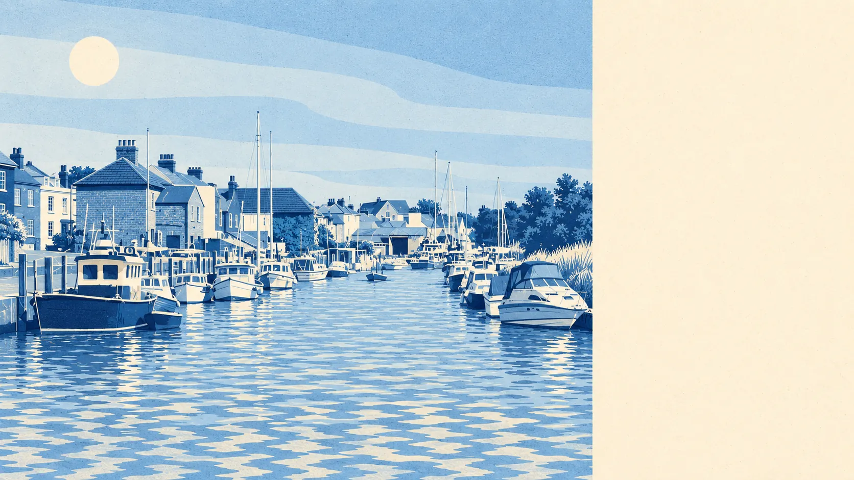
Yes, for the buyer who reads the flood map before the brochure. Nearly every home is a house. Green space starts a couple of minutes from the front door. About four in ten households rent, and crime runs higher than the rest of the borough. Queenborough is good value, and the water comes with the deeds.
Queenborough is a terrace town first. On the council-tax valuation list, which covers every dwelling, about 41% of homes are terraced, 32% semi-detached and 12% bungalows. Detached houses and flats are about 7% each, so anyone hunting for a starter flat is looking in the wrong town. Around 27% of the stock was built before 1930, which is recent for a place that got its royal charter in 1366. On energy certificates, about half the certificated homes are in bands A to C, 40% in band D and around 11% in E or worse. About 83% heat with mains gas and around 6% with electricity only, so the boiler is rarely the problem. The draughts come from the walls and windows, and the listing photos were not taken in February.
The Land Registry recorded 33 sales in the year to May 2026, at a median of about £260,000. Semi-detached houses sold for a median of around £267,500 across 14 sales, and terraces for around £253,000 across 16. The two are close enough that the garden decides it, not the mortgage adviser. Council tax is mostly band B, with about 69% of homes in bands A or B. Agents will call the older terraces cottages. They are terraces.
The typical private rent across the Swale area was about £1,090 a month as of April 2026, up about 2% on the year. That is a borough-wide figure from the Office for National Statistics, not a Queenborough one. No town-level rent is published separately, so a landlord's asking price is a claim, not a finding.
In the twelve months to May 2026, police.uk put Queenborough's crime rate at about 133 per 1,000 residents, roughly 26% above the Swale average of about 105. The mix is ordinary. Violence and sexual offences make up about a third, a little under the national share. Shoplifting is about 11% against 8% nationally, and criminal damage about 10% against 7%. Kent Police charged about 16% of the crimes it recorded over the same period, against about 12% nationally, though that figure covers the whole force, not this town. So crime runs higher than in the neighbouring towns and ordinary in type, which is about the least exciting thing a safety page can say.
Queenborough Rail Station is in the town, with Sheerness-on-Sea, Swale and Kemsley stations on the same stretch of line. Even so, only about 5% of working residents take the train to work. About 61% drive and 13% work from home. There are 22 bus stops, averaging about 15 weekday departures each, but hardly anything runs at peak hour, and about 72% of the stops with timetable data get a weekend service. Gigabit broadband reaches about 84% of premises and superfast about 95%, and every postcode gets 4G or 5G from at least one network. The broadband is better than the buses.
Flood risk is the weak spot, and it deserves a straight answer. On the Environment Agency's river-and-sea mapping, about 64% of the area is in flood zone 3, the highest-risk category, and about 8% is in zone 2. A separate measure looks at postcodes, and it counts surface water too. On that one, about 10% of postcodes carry a high-risk flag on at least one indicator, 14% a medium one and 37% a low one. There are 16 recorded flood events, and the latest is from 1953, when the sea came over the defences. The shoreline management plan's policy for this coast is to hold the line for the next hundred years. Every postcode sits within the Lower Medway Internal Drainage Board's district. What keeps the town dry is the defences, not the height of the land, and a buyer should find that out from a surveyor before an insurer tells them. The trade for all this is the outdoors. The average home is about 116 metres from green space, with around 14 green spaces within a kilometre, and open water is about 166 metres away.
Queenborough has 23 listed buildings: one Grade II* and 22 Grade II. It has one conservation area, the Queenborough conservation area, and the Queenborough Castle site is a scheduled monument. In the conservation area, new windows, doors and frontages draw planning attention. A post-war semi outside it can grow a kitchen extension without anyone opening a history book. Most of the housing is post-war, so most buyers face less red tape than the town's age suggests.
About 55% of households own their home. About 24% rent privately, and most of the other renters are in social housing. The median resident is 36, younger than the bungalows would suggest. The Office for National Statistics models median gross household income at about £44,000 for the financial year to March 2023. Rushenden, to the south, is covered by this page. The old steel-mill site there has been earmarked for housing under the regeneration scheme since the mill closed in 2013. Queenborough has had a copperas factory, glass works, glue works and a cement works, and has outlived all of them. The town has seen off more industries than most places ever had.
It suits people who want a house with a garden at a price the rest of Kent stopped offering, and who are happy to drive. Families using Queenborough School and Nursery are about an 11-minute walk away, and anyone who wants the estuary on the doorstep gets it.
It does not suit anyone who needs a flat, a frequent peak-hour bus, or a mortgage decision that ignores flood maps. It also does not suit buyers who want the quietest crime figures in the borough.
Queenborough is a middling place with a clear split. Its real strength is the surroundings: green space in a couple of minutes, water in three, and houses rather than flats. The weak spot is flood risk, which is managed rather than absent, and that has to be the first question at every viewing. Buyers who come in knowing that get a house at a sensible price. The ones who don't usually find out when they get an insurance quote.