Farmland with a village dropped in it, and the green stuff starts at the end of the drive. Green space is a two-minute walk from the average front door. Water is close enough to reach without getting in a car. The gardens are enormous by any urban standard. What there isn't is a national park sticker on any of it, which is the whole reason it stays quiet.
Green space is not something you plan a trip to here. The average home sits about 155 metres from public green space, with roughly 8 green spaces within a kilometre. That is a number you normally see in a well-parked suburb, except here the green space is joined on all sides by more green space that happens to belong to a farmer.
Water is nearby too. The average postcode sits about 600 metres from blue space, with roughly 4 within a kilometre. The coast proper is further out, with the nearest shoreline about two and a half kilometres away at the closest point and roughly three kilometres from a typical postcode. Close enough for an afternoon, far enough that nobody is parking a campervan outside your house in August.
For getting out into it under your own power, the National Cycle Network is the weak link: the nearest route averages about 6.7 kilometres away, and no postcodes count as close to one. Cycling here means lanes rather than signed routes, which suits some riders and terrifies others.
The village itself is small and the business list says so plainly. The valuation roll records 28 rateable premises across the area, the largest groups being shops and workshops, with stores and light industrial units behind them. Across the wider ownership data there are 51 shop premises, 13 pubs, 5 restaurants and 31 offices on the books. Those are premises on a list rather than doors currently open for business, which is the honest way to read any of it.
On eating out, 12 premises hold a food hygiene rating, and 50% of them sit at the top score of five. None fall into the bottom ratings. That is a small sample that mostly behaves itself.
Air quality is unremarkable in the best sense. Fine particle concentration across the Cornwall council area averaged about 5 micrograms per cubic metre in 2024, which is a rural background level rather than anything generated locally.
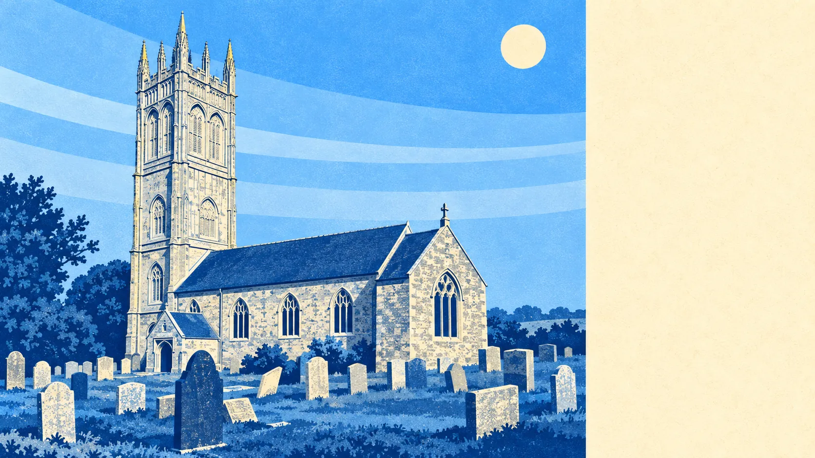
The character comes from what surrounds the village rather than what is in it. Trewithen and its gardens sit on the doorstep, the churches at Probus, Cuby, Ladoca and Cornelly anchor the parishes around, and the ring of neighbouring settlements runs through Grampound Road, Ladock, Tresillian, Merther and Reskivers. Grampound and Grampound Road are covered by this page alongside Probus itself. It is a landscape of hamlets, farm tracks and hillforts rather than of destinations, and the scheduled monuments scattered through it, from Golden Camp hillfort to the Roman settlement at Carvossa, are mostly bumps in fields that nobody visits.
Private outdoor space is the quiet luxury. Gardens here work out at roughly 199,000 square metres per thousand residents, which is the measure that actually matters and which most urban places cannot get within sight of. People here have gardens in the sense their grandparents meant, not in the sense a London agent means.
One honest absence worth stating: nothing here carries a protected-landscape designation. No area of outstanding natural beauty overlaps the area, no site of special scientific interest, and no ancient woodland is recorded. That is not a criticism of the countryside, which is plainly good. It means the land around Probus is working farmland rather than protected scenery, and working farmland does not attract coach parties.
The surroundings are the standout thing about living here: green space effectively at the door, water within a short walk, gardens most buyers could not afford elsewhere, and a landscape that stays quiet precisely because nobody has designated it as worth visiting.