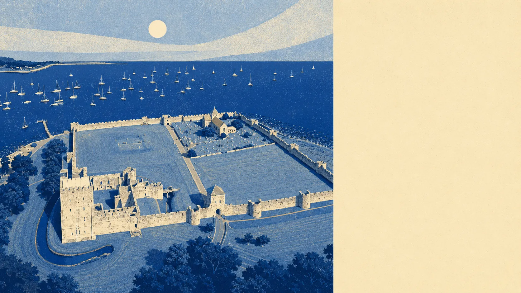
Some of Portchester floods today. More of it sits inside the climate forecast. Around one in seven postcodes is in Environment Agency flood zone 3 right now. More than half sit inside the climate-adjusted version of that zone. Today the risk is moderate. Tomorrow it widens.
On the current Environment Agency mapping, around one in seven of the village's postcodes sits inside flood zone 3, the highest tier of river and sea flood risk. About one in twenty-five sits inside flood zone 2, the next tier down. Roughly four in ten of the village's postcodes sit within 500 metres of the coast, and the closest is about 20 metres from the water. Despite that proximity to the harbour, no historical flood events affecting these postcodes are recorded in the dataset this report draws on. The map risk is the forward-looking risk. The rear-view mirror is, so far, clear.
Surface-water flooding is the other side of the picture: rainfall pooling on impermeable ground or overwhelming drains in heavy storms. About one in seventeen postcodes carries a high surface-water flood probability. About one in nine carries a medium one. Around a third carry low-level risk. The rest are clear on this indicator. Surface water is what gets you on a Tuesday afternoon in August when the drains can't cope, not when the tide is in.
The Environment Agency's climate-adjusted version of flood zone 3 projects forward under expected sea-level rise and intensified storm rainfall. That projection covers more than half of Portchester's postcodes. The current zone 3 footprint is around one in seven. The climate-adjusted footprint is more than one in two. The local shoreline management policy is currently set to Hold The Line out to a century from now, which means defending the existing coastline rather than letting it retreat. That keeps the harbour where it is. It does not keep the rainfall and the sea level where they are.
For insurance, flood-zone designation matters and so does the surface-water map. Premiums on properties inside flood zone 3 or with high surface-water probability tend to be higher, and some insurers will load excesses or refuse cover. The Flood Re reinsurance scheme exists to make high-risk household cover available at a regulated price, but Flood Re does not cover homes built since 2009, and it does not cover buy-to-let or commercial properties. Anyone buying a flood-zone-3 property here should price the insurance before exchange rather than afterwards. The current owner's premium is the closest thing to a real number a buyer is going to get on the doorstep.
The middle three on the rating panel reflects this honestly. Most of the village is not in current high flood risk. A meaningful slice is. And the climate forecast widens the slice substantially. The harbour built the village. The harbour will write a chunk of the next century's insurance premiums.