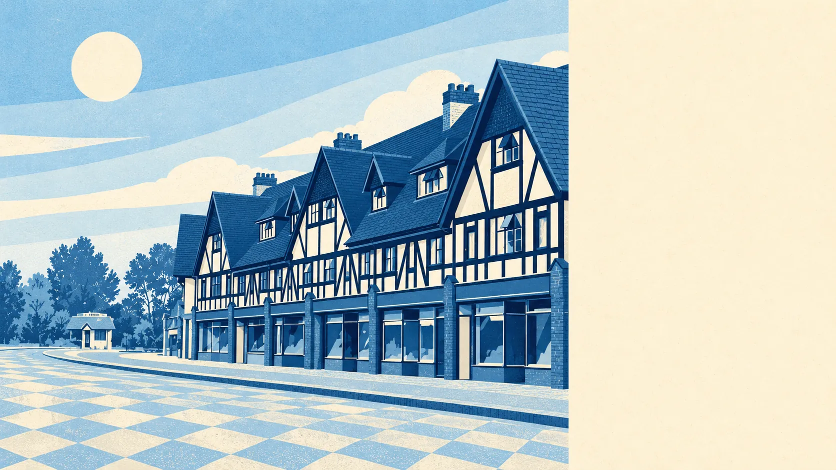
Petts Wood is green almost everywhere, and you're never far from a park. The nearest green space is a couple of minutes from most front doors. There are nearly twenty within a kilometre. The gardens are big. The high street is mostly shops with only a few pubs, so the place does more shopping than drinking.
The average home is about 160 metres from public green space, and about 19 green spaces lie within a kilometre of it. Jubilee Country Park, north-west of the main shops, is the largest local example. It became a park in 1977 and was known as The Gun Sites before that. Most people here can walk the dog straight from the front gate.
Water is about 400 metres from the average home, with about 21 ponds, streams and other patches of open water within a kilometre. None of it is large, but there is plenty of it close by.
The National Cycle Network is about 8.5 kilometres away on average, and no postcode in the area is close to it. Ancient woodland covers 0% of the area. The place is named after a wood the Pett family leased for ship timber, so it fits that the official map finds no ancient woodland inside the boundary.
The rated-premises list counts 291 shops, 11 restaurants and 5 pubs in the area. Petts Wood has always been built around shopping. The original shops and a cinema went up next to the railway in the late 1920s, and the shopping parade around Station Square is still the centre of the place. The five pubs include the Sovereign of the Seas, named after a ship designed by Phineas Pett. On those counts, Petts Wood is somewhere to buy things more than somewhere to go out.
Fine-particle pollution across the London Borough of Bromley averaged about 8 micrograms per cubic metre in 2024.
The character is green suburbia with history close by. Chislehurst is to the north and Orpington to the south. Priory Gardens in Orpington and Keston's commons and village are a short trip away. Three conservation areas carry Petts Wood's own name, Station Square, The Chenies and Chislehurst Road, so whole stretches of streets look much as they did when they were built. The area also covers St Mary Cray and St Paul's Cray, which are more mixed than the conservation-area roads.
Private gardens are generous. Residents have about 115,000 square metres of garden for every 1,000 people. The interwar and post-war plots were laid out for semis with long back gardens, and most of those gardens are still there. A long back garden is about the most common feature of a Petts Wood house, which is useful for anyone weighing the clay soil against the size of a planned extension.
The national business-rates list records 860 rateable premises in the area, including 291 shops and 123 offices. These are premises on the valuation list, and some may be empty or in use for something else. Even so, a shopping town with offices above the shops is the clearest picture of local business.
Of the 203 food businesses with a hygiene rating, about 76% hold the top score of five and about 3% sit at the low end of the scale. Look up any particular takeaway on the national food hygiene ratings before you make it your regular.
No area of outstanding natural beauty, site of special scientific interest or ancient woodland overlaps the area. Petts Wood's green space is everyday parks and gardens, managed for walking, so you can let a dog off the lead without upsetting a conservation warden.
The area around Petts Wood is one of its best features. It is green on every side, with big gardens, parks within a short walk and a shopping parade that covers everyday needs.