Petts Wood is a better-than-average place to live, and most of the credit goes to how easily it lets you leave. One station sends trains to Victoria, Charing Cross and Cannon Street. Almost every home can get gigabit broadband. Buses come often enough at peak that nobody keeps a timetable on the fridge. The suburb was laid out to get people somewhere else, and it still does that well.
Petts Wood Rail Station runs to London Victoria via Bromley South, to Charing Cross and Cannon Street via Grove Park, and out the other way to Orpington and Sevenoaks. The census commuting split is odd for a station suburb, though. About 10% of working residents took the train, 35% drove and 38% worked from home. The broadband explains that last group: gigabit connections are available to about 97% of premises, and every postcode gets 4G or 5G from at least one operator. The area has 311 bus stops, averaging around 167 weekday departures each and about nine an hour at peak, and 99% of them still have a weekend service. Department for Transport modelling puts the town centre about 17 minutes away by public transport and the nearest GP about ten minutes on foot. That modelling dates from 2019, and bus times are the first figures to go stale when routes are cut. A place laid out beside a railway now has more people working at the kitchen table than catching the train.
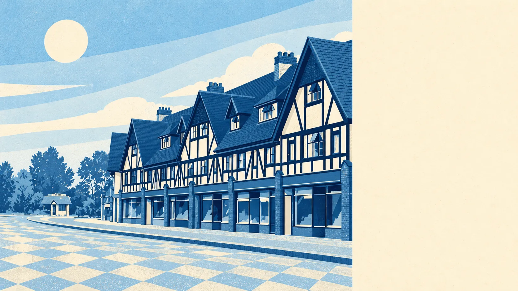
The heritage map is busier than the semis suggest. The area counted for this page has 91 listed buildings, eight of them Grade II* and none Grade I, plus 11 conservation areas. Three carry the town's own name: Station Square, The Chenies and Chislehurst Road. Inside those boundaries, changes that would be routine a road away, like new front windows, a front wall or a side extension, can need consent from Bromley council's planners, and the look of the street is what gets judged. One building is on Historic England's at-risk register. Leonard Culliford drew the road layout in the late 1920s, and nearly a century on the council is still defending his kerb lines.
The Land Registry recorded 390 sales in the year to late May 2026, at a median of £450,000. The type of house moves the price a long way. Flats went for about £265,000, terraces £400,000, semis £510,000 and detached houses £850,000. Semis made up 201 of those sales, which tells you what most buyers came for. The official house price index put the local average at about £525,000 in May 2026, up 0.2% on a year earlier and about 11% over five years. Band D is the most common council-tax band, at about £2,140 a year, and only about 8% of homes are in bands A or B.
Bromley as a whole has a typical private rent of about £1,670 a month as of April 2026, up about 3% on the year, with one-beds at around £1,300 and three-beds near £1,975 across the borough.
The council-tax valuation list makes semis the largest group, at about 32% of homes, followed by terraces at 23%, flats 20%, detached houses 13% and bungalows 11%. About 7% predate 1930, which fits a place that was mostly woodland until the builders arrived. Among homes with an energy certificate, about 46% are band D, about 41% reach C or better and 14% are E or worse. Around 84% of homes heat with mains gas. A band D semi with a gas boiler is the most ordinary house in Petts Wood, and the heating bill will remind you every January.
The Metropolitan Police's recorded crime for the BR5 district, which takes in St Mary Cray and St Paul's Cray as well, came to about 101 offences per 1,000 people in the year to May 2026. That is about 14% above the Bromley average. The mix leans heavily on cars. Vehicle crime was about 12% of offences against 5% nationally, while violence and sexual offences were a smaller share than the national figure, about 25% against 35%. Across its whole patch the Met charged someone in about 10% of cases, below the national 12%. Whoever is working these streets is mostly after what is parked on them.
Flood is the weak point, and the problem is surface water. About 19% of postcodes rate high on at least one flood indicator, with surface water included, and another 20% rate medium. River and sea risk is much smaller. The Environment Agency's river-and-sea flood zones cover about 1% of the area in zone 2 and less than 1% in zone 3. The agency's records list 17 past flood events, the latest in August 1977, when a main river overflowed its channel. The surface-water map is worth checking for the exact postcode, because the risk changes from one dip in the road to the next, and none of it shows on a sunny viewing.
Schools are the other strength. Across 12 primaries in the district, the average key stage 2 maths score was about 106, and the single secondary counted had an Attainment 8 score of about 43. Ofsted has graded 40 of 41 inspected settings in the Bromley area good or outstanding, 15 of them outstanding. Crofton Infant and Junior, Poverest Primary and St James' Roman Catholic Primary are among the primaries nearby. Most parents here end up reading the admissions rules more closely than the Ofsted reports.
About two-thirds of households own their home, the typical resident is 40, and the Office for National Statistics models gross household income at about £84,000 for the financial year to March 2023, averaged across the area. Around one in five households rent from a social landlord, so the place is more mixed than the conservation-area postcodes suggest.
Green space is about 160 metres from the average front door, and water about 400 metres. Jubilee Country Park, north-west of the shops, was an anti-aircraft gun site in the Second World War and became a park in 1977. A site built for shooting down bombers is now mostly used for walking spaniels, which is the right way round.
The name goes back to 1577 and the Pett family, shipbuilders who leased the wood for timber. The Sovereign of the Seas pub is named after a ship Phineas Pett designed. The presenter Cerrie Burnell grew up here, and Charles De Gaulle spent part of 1940 in a rented house on Birchwood Road.
Petts Wood is right for a London commuter who wants a three-bedroom semi, a good primary and a train within walking distance, and for hybrid workers who want all of that plus fibre. It is wrong for anyone after a Victorian house, a bargain or a home at the bottom of a surface-water dip without first looking up the map.
The station is the reason to live here. It puts Victoria, Charing Cross and Cannon Street in reach without changing trains, and the broadband covers the days you stay home. Rainwater is the thing to check street by street. Weigh the two together and Petts Wood comes out above average: a dependable commuter suburb that rewards anyone who checks the drains as carefully as the train times.