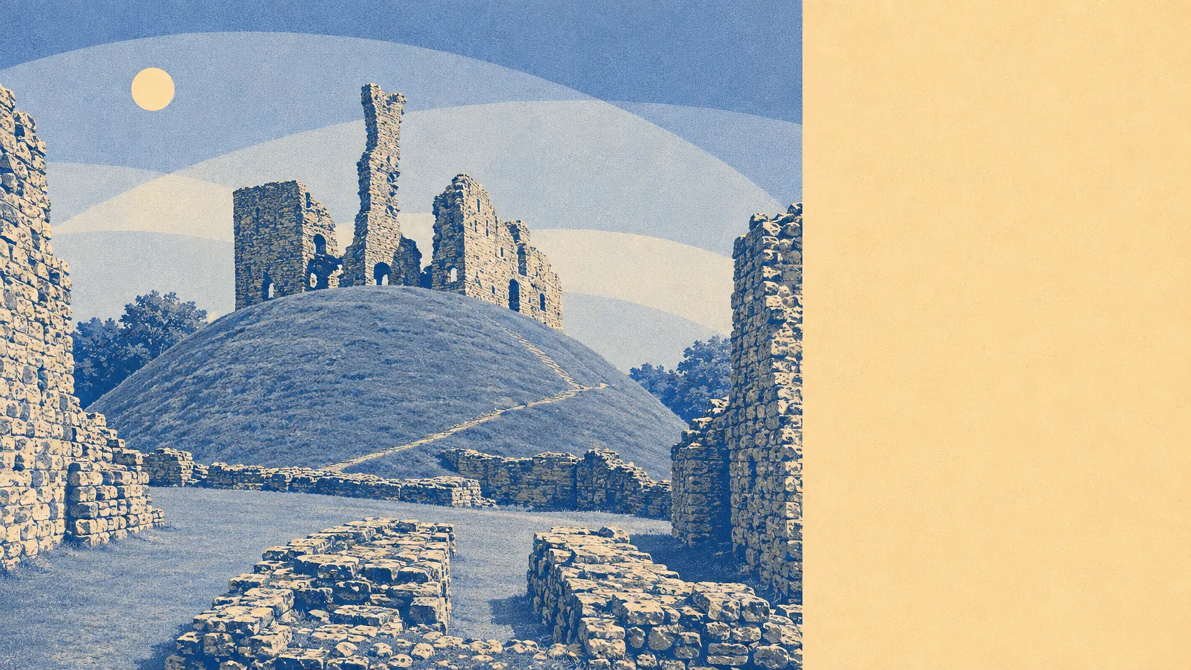
Better than the town, and the town is decent. Green space starts about 165 metres from the average front door. Water sits about as close. Past the last houses the ground climbs into tors, cairns and stone hut circles that were old before the castle was built. This is a place where the surroundings, rather than the settlement, are the argument.
Ordnance Survey greenspace mapping puts about 18 separate green spaces within a kilometre of the typical postcode, with the nearest about 165 metres away. That is not one municipal park doing all the work for a whole town. It is a spread of them, close enough that going outside is a decision that takes no planning and no vehicle.
Water is about 245 metres from the average postcode, with roughly 50 stretches of it within a kilometre. The Ockment runs through the middle of the town and gave the place its name back when it was Ocmundtune, so the water here is not a feature that was added later by a developer with a pond budget.
The National Cycle Network passes about 250 metres from the average postcode, and about 84% of the town's postcodes sit close to it. For a settlement this size that is unusually good access to a route that goes somewhere, rather than a painted strip that gives up at the edge of a retail park.
The high street is bigger than the population suggests. The rating list carries 160 shops, 36 pubs and 5 restaurants, which is a lot of retail frontage and a great deal of pub for a town of this size. The five restaurants tell you where the evening economy actually happens, and it is not in a dining room.
Air quality is clean. Fine particle pollution across the council area averaged about 4.9 micrograms per cubic metre in 2024, which is what happens when the nearest thing to industrial density is a livestock market.
The character comes from what surrounds it. Simmons Park handles the ornamental side inside the town. Beyond it sit Okehampton Castle, a Roman fort, the Meldon viaduct and a scatter of villages, Belstone, Folly Gate, Inwardleigh and Meldon among them, each about the size of a decent car park. Higher up there is Cosdon Hill, Cawsand Beacon and the Nine Stones ring cairn. Very few towns of nine thousand people have a Bronze Age cemetery on the skyline and treat it as the dog walk.
Private outdoor space is generous too. Gardens run to roughly 131,000 square metres for every 1,000 residents, so the moor is the bonus rather than the compensation. Nobody here is doing all their outdoor living in a public park.
On the business side, the valuation list holds 453 rateable premises in total, including 110 offices and 112 holiday lets. Those are premises rather than trading businesses, so the list describes what exists in brick rather than what is open on a Tuesday. The holiday let count is the one worth noting, because it says a good slice of the local property stock is other people's fortnight rather than somebody's home.
Eating is safer than the restaurant count implies. Across 69 rated food premises, about 90% hold the top hygiene score and none sits at the bottom of the scale, which is a better record than most places with four times the choice.
One honest absence. No area of outstanding natural beauty overlaps the town, no site of special scientific interest does, and there is no ancient woodland within it. The protected moorland begins beyond the built edge rather than underneath it, which is why the town can keep building while the view stays where it is. That is a planning fact rather than a shortcoming.
The surroundings are the best thing this town has, comfortably. Green space at the doorstep, water closer than the shops, a cycle route within a few hundred metres of nearly every postcode, and open moor with four thousand years of stonework on it starting where the pavement ends. Whatever else Okehampton gets wrong, nobody moves here for the interior.