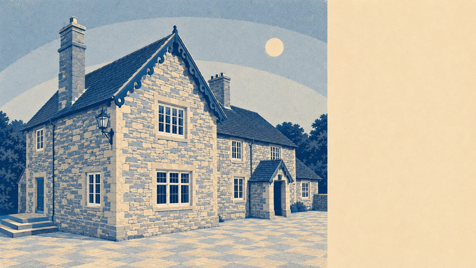
Green, working and entirely unfashionable. Green space starts about a hundred metres from the average front door. Water is barely further than that. There are pubs and there are no restaurants. This is countryside that gets used rather than photographed, which is the version worth living in and the version nobody prints on a tea towel.
Access to open space is the standout. The typical home here sits within a kilometre of around 12 separate green spaces, with the nearest averaging about 110 metres away. That is not a park at the end of a bus ride. That is green at the end of the road, in most directions, for most of the village.
Water is closer still. The nearest blue space averages around 180 metres from home, and about 64 separate water features fall within a kilometre. Somerset being Somerset, most of those are small watercourses and ditches rather than anything you would launch a boat on, but they are the reason the fields look the way they do and the reason the whole place smells of wet grass in February.
For getting out further, the National Cycle Network runs about 1.1 kilometres away on average, and no postcode in the village counts as close to it, so a family ride starts with a road stretch that a nervous parent will not enjoy. There is no ancient woodland here at all, which tells you this landscape has been farmed rather than left alone.
The amenity mix is honest about what the area is. The premises records show 47 shop units and 10 pubs across the area, and zero restaurants. Dinner out means a pub, and everybody has already made peace with that.
On air, the council area averaged about 5.5 micrograms of fine particles per cubic metre in 2024. That is a figure for Somerset as a whole rather than a reading taken at the village hall.
In character, the surroundings are a chain of small settlements orbiting Taunton at a polite distance. Bishops Lydeard sits to the north, Cotford St Luke a couple of miles off and planned rather than grown, having been built on the site of a former hospital, with Bishop's Hull, Staplegrove, Rumwell and Heathfield scattered around the lanes. Above the village sits Norton Camp, the hillfort, which has been watching this arrangement develop for several thousand years and remains unimpressed.
Private outdoor space is where the numbers quietly beat the town. Gardens here run to roughly 126,000 square metres per thousand residents, which is the measure that actually matters, since a share of total area in a farming parish tells you about fields rather than about anybody's back door. People here have gardens, and they have proper ones.
As for what trades, the valuation list carries 39 rateable non-domestic premises for the area, alongside 90 recorded office premises and 16 holiday lets in the ownership data. Those are premises records rather than a directory of open businesses, so treat them as the shape of local commerce rather than a promise that anything specific is trading on a Tuesday afternoon.
Eating out is a small field but a clean one. Of the 9 food premises with a published hygiene rating, about 89% hold the top score and none sit at the bottom of the scale. In a place with 9 rated kitchens, that is the difference between a village with standards and a village with a reputation.
One honest absence: no area of outstanding natural beauty, no site of special scientific interest and no ancient woodland overlap this area at all. That is not a criticism. It means the countryside here is working farmland rather than designated scenery, so nobody is coaching a coach party through it and the footpaths belong to whoever turns up.
The setting is the best thing about Norton Fitzwarren by a distance. Green at the end of every street, water within a few minutes, real gardens behind the houses, and a landscape doing a job rather than posing for one.