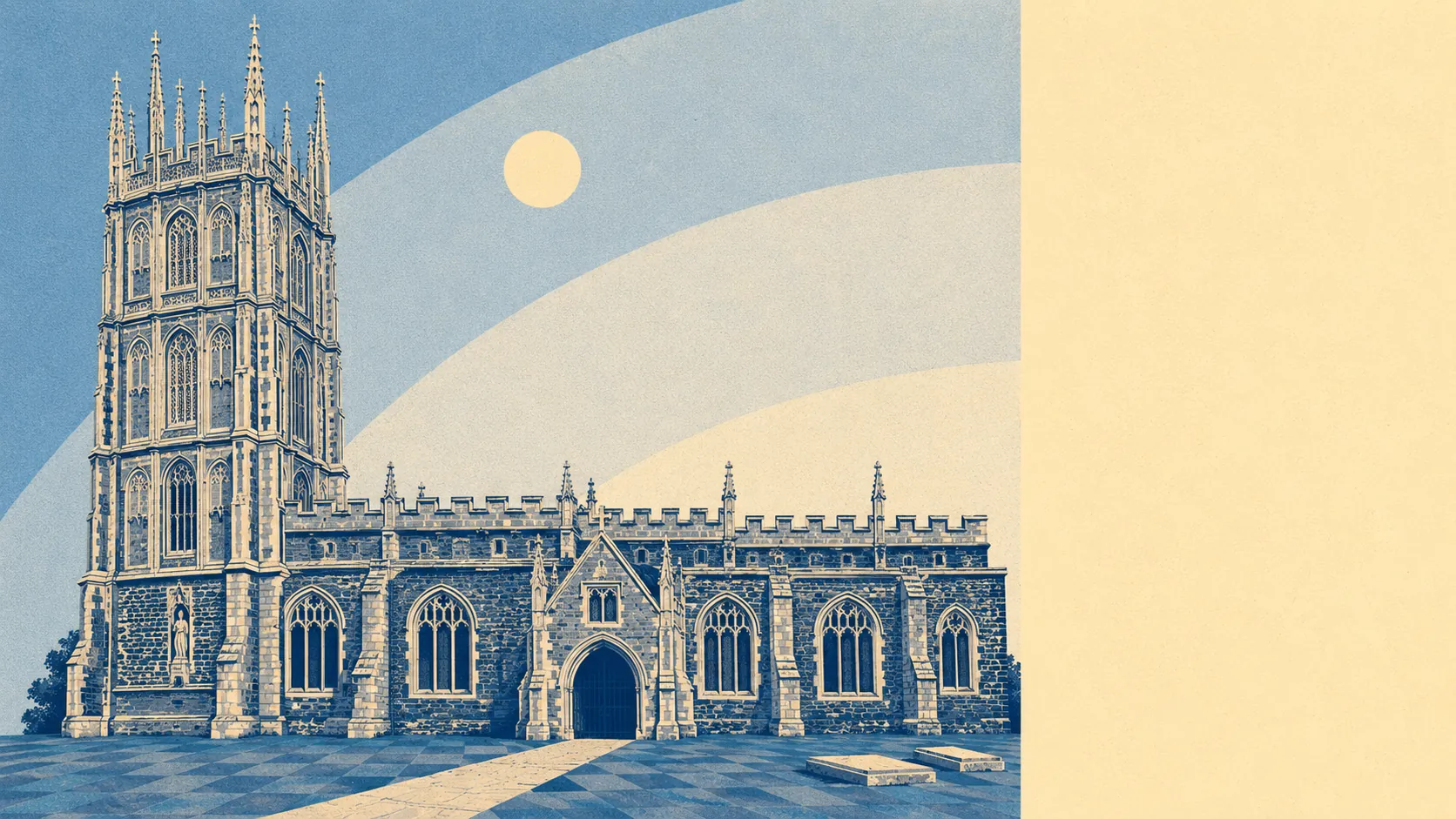
Green on one side, wet on the other, and both closer than you would expect. Open space starts at the end of most streets. Water is barely further away than that. The Quantock foothills rise to the west and the Somerset Levels spread out to the east, so the town sits in the seam between hill country and drained marsh. The best thing about living here is almost entirely the bit that is not the town.
On green space, the average postcode has about 15 accessible sites within a kilometre, and the nearest is roughly 130 metres away. That is not a park you drive to at the weekend. That is grass at the end of the road, and it is the single most generous figure anywhere in this town's data.
Water is just as close. Blue space sits about 175 metres from the average postcode, with roughly 29 features within a kilometre. That density is a direct consequence of the geography: the Levels are drained land, and drained land means rhynes, ditches and watercourses threaded through the fields in every direction. A landscape engineered to move water away is a landscape with a great deal of water in it.
The National Cycle Network is the weak link in getting out into all this. The nearest route sits about 2 kilometres from the average postcode, and none of the town's postcodes count as close to it. Ancient woodland does not feature here at all. This is farmed and drained country rather than old forest, whatever the medieval hunting-ground history suggests.
For amenities, the premises records across the town's postal district cover 336 shops, 40 pubs and 24 restaurants, alongside 248 offices. That is the Bridgwater orbit rather than North Petherton's own high street, and it is worth understanding the geography that way: this is a town that borrows its retail from next door and keeps its pubs at home.
Air quality is decent. Fine particle levels for the Somerset council area averaged about 5.5 micrograms per cubic metre in 2024, which is a rural-county figure rather than a roadside one.
The character of the surroundings comes from the villages rather than the town. Huntworth, Shearston, Woolmersdon, North Newton and Thurloxton sit within the parish or just beyond it, and Halswell Park lies out toward Goathurst. The Macmillan Way West long-distance footpath runs through, which is the sort of amenity that costs a council nothing and improves a Sunday enormously. Newer estates at Stockmoor Village and Willstock Village extend the town toward Bridgwater, which is where the growth has gone.
Private outdoor space is where the numbers get properly generous. Across the three neighbourhood areas covered, gardens amount to roughly 207,000 square metres per 1,000 residents. That is the figure that actually matters to a buyer, and it says what the estate layouts show: plots here are large, and the average household has real garden rather than a paved rectangle with a bin store.
On the commercial side, the business rates valuation list carries 50 rateable premises within the area itself, with the largest single category accounting for 14 of them. Those are premises on a list rather than businesses currently trading, so treat the number as a measure of commercial floor space rather than a directory of what will be open on a Tuesday.
Eating out is a small field in good order. All 17 rated food premises hold the top food hygiene score, and none sit at the bottom of the scale. A perfect record across a modest number of places is worth more than a mixed record across a hundred.
One honest absence: no area of outstanding natural beauty, no site of special scientific interest and no ancient woodland overlaps the built-up area. The nationally important grazing marsh that lies within the wider parish sits out on the Levels beyond the motorway rather than on the town's doorstep. The countryside here is working farmland, not protected landscape, and it is none the worse for it.
The surroundings are the strongest thing North Petherton has going for it, without qualification. Green space at the end of the street, water a few steps further, hills one way and the Levels the other, and gardens big enough that people actually use them.