The area around New Romney is flat, open and mostly sky: marsh behind, shingle and sea in front. Green space is a short stroll from most front doors. Open water is closer still. The high street is modest and the pubs can be counted on one hand. Nobody moves here for the nightlife; they move here for the horizon.
Green space is close and plentiful. The average home in the area is about 190 metres from the nearest green space, with around 10 green spaces within a kilometre. On land this flat, a walk means the whole marsh rather than a municipal park with a single bench.
Water is even nearer. The average home is about 200 metres from open water, whether sea, drainage channel or pond, and there are around 49 bodies of water within a kilometre. The marsh was reclaimed from the sea, and the network of ditches and channels that keeps it dry is the reason blue space is everywhere you look.
The National Cycle Network is further off, about 2,800 metres from the average home, and no postcode in the area sits close to it. There is no ancient woodland in the area at all. The landscape is shingle, grazing and water, not trees, and anyone expecting a Wealden wood will be disappointed.
The shopping is what a small coastal town supports. The valuation list records 75 shops, five pubs and eight restaurants. That is enough to get the basics without driving, and not enough to make the high street a destination. Eighty food premises carry a food hygiene rating, and 78% hold the top score.
Fine-particle air pollution across the Folkestone and Hythe council area measured about 6.5 micrograms per cubic metre in 2024, a figure for the whole council area rather than any particular street.
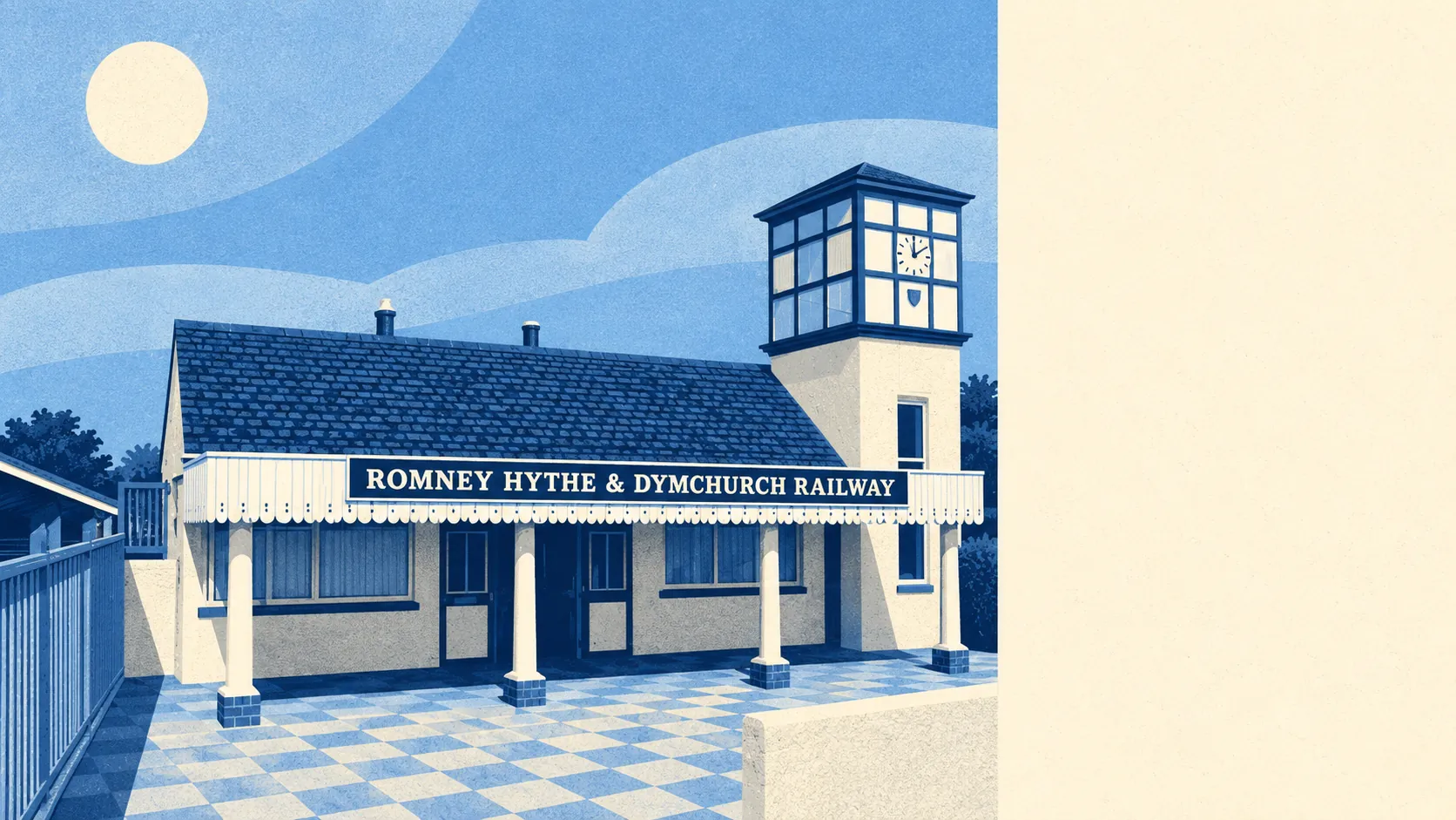
The character comes from the coast and the history rather than the shops. Greatstone-on-Sea, Littlestone-on-Sea and St Mary's Bay line the shore, and the beaches sort themselves by grain: the heavier stones gather at Greatstone, the smaller shingle at Littlestone and fine sand further east at St Mary's Bay, courtesy of the longshore drift. Dungeness sits to the south on its shingle headland, with its nuclear power station and ecological site sharing the same ground. The wartime past is still visible: the Phoenix Caisson, a Mulberry harbour section, sits off Littlestone and shows at low tide, and Lade Fort and a Martello tower at Dymchurch sit along the coast. Inland, the remains of Romney Priory and the churches of the marsh villages, including Old Romney and Ivychurch, give the flat land its landmarks. The Romney, Hythe and Dymchurch Railway has its headquarters in the town.
Private gardens are generous. The area has about 202,000 square metres of garden per 1,000 residents, which reflects the bungalows, detached houses and wide plots that make up much of the stock. Most people here have their own outdoor space, not just access to someone else's.
The valuation list holds 372 rateable premises. Shops are the largest single group at 75, followed by 28 offices and 24 holiday lets, with the rest spread across workshops, pubs, restaurants and other uses. These are premises on the list, not a count of businesses trading today, and the mix describes a working small town with a seasonal side rather than a resort.
Eating out is safer than it looks from the outside. Of the 80 rated food premises, 78% hold the top hygiene score and none sits at the bottom of the scale. The choice is limited; the kitchens are clean.
No protected landscape designation overlaps the area. There is no area of outstanding natural beauty, no site of special scientific interest and no ancient woodland within it. That is not a fault. It means the landscape is working land and open coast, valued by the people who live in it rather than by a designation board.
The surroundings are one of New Romney's real strengths: open space, water and coast on every side, and gardens to match. It is not a place to be entertained, and the people who move here know that.