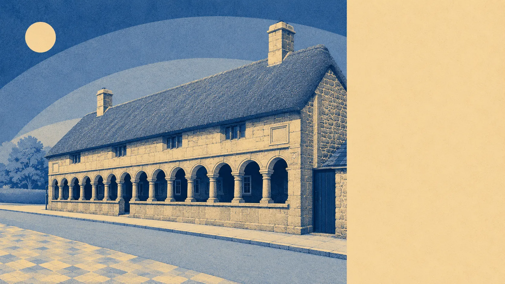
Better than the town, and the town is decent. Green space starts about 130 metres from the average front door, with ten separate pieces of it inside a kilometre. Water sits about as close. The ground between here and the next hamlet is littered with burial chambers, old enclosures and stone crosses set down for people crossing the moor. This is not countryside as a view out of a window. It is countryside with a town wedged into the middle of it.
On green space, the numbers are unusual even for a rural place. Around 10 separate green spaces fall within a kilometre of the typical postcode, and the nearest averages roughly 130 metres away. Most places measure access to a park. Here the measurement is closer to how far you have to walk before you stop being in one.
Water is nearly as accessible. Blue space averages about 300 metres from the typical postcode, with around 20 separate stretches of it within a kilometre, which is what happens when a town sits on the drainage of a moor rather than beside a single river.
Getting out into it is easy on two wheels as well as two feet. The National Cycle Network runs an average of about 190 metres from the postcodes here, and about 96% of them sit close to it. Whether the gradient constitutes leisure is a personal question.
The amenity mix across the wider area this page covers is a rural one on the valuation list: about 215 shop premises, 37 pubs and 5 restaurants. The ratio of pubs to restaurants is not an accident, it is a description of how people here have historically preferred to spend an evening.
Air quality is the quiet advantage. Fine particulate pollution across the council area measured about 5 micrograms per cubic metre in 2024.
The character comes from what is scattered across the surrounding land. Cranbrook Castle and Wooston Castle sit as scheduled monuments in the hills, along with the Meacombe burial chamber, the deer park wall at Whiddon Park and a run of wayside crosses at Hele, Hospit, Linscott and Sanduck, plus the village crosses at North Bovey and on Cross Street. Conservation areas cover both this town and North Bovey, and Doccombe sits in the same parish. Chagford, which this page also covers, is the neighbour over the same stretch of moor edge. The whole arrangement is small settlements strung between granite and grazing, which is either exactly what somebody wants or completely wrong for them, and both groups usually work it out on the first visit.
Private outdoor space is generous, at roughly 306,000 square metres of garden per 1,000 residents. That is the measure that matters, because the share of total land under garden is diluted by farmland in a place like this and would tell you the opposite of the truth.
The local rating list carries 102 rateable premises in the town itself, with around 146 office premises across the wider area. These are entries on a valuation list rather than businesses trading today, so treat them as the shape of the place rather than a directory of what will be open on a Wednesday.
Eating out is a small field in good order. Of the 21 rated food premises, about 86% hold the top food hygiene score and none sit at the bottom of the scale.
No area of outstanding natural beauty, no site of special scientific interest and no ancient woodland is recorded as overlapping the area. That is not an absence of protection. The whole parish sits inside Dartmoor National Park, which is a designation that has never needed reinforcements.
If anything is doing the selling here, it is the land rather than the town, and it manages that without a brochure, a viewing appointment or anybody using the word potential.