Yes, if you can drive and you meant it about wanting the moor. Moretonhampstead is a granite town on the north eastern lip of Dartmoor that has spent eight centuries as the last proper stop before the weather. Seven in ten own their homes. The typical resident is well into their fifties. Everything you need daily is a walk, and everything you need occasionally is half an hour of hedges. This is not a village dressed up as a town. It is a market town that stopped competing for attention and got considerably better at being lived in.
The housing is old, and it is mostly houses. The council tax valuation list, which covers all 890 dwellings rather than only the ones certificated since 2008, puts about 35% terraced, 22% detached, 19% semi-detached, and roughly 11% each for flats and bungalows. Around 54% of it went up before 1930, which on this side of Dartmoor means thick granite and small windows. Energy certificates back that up: about 49% sit in bands A to C, 33% in band D, and 18% in band E or worse. Roughly 62% are on mains gas, which is better than a moorland town has any right to expect, though about 5% run on electricity alone and 3% have no central heating at all. In a pre-1930 stone terrace, that is not a footnote. That is your October.
The Land Registry recorded 15 sales in the twelve months to May 2026, at a median of about £317,500. Fifteen sales in a year is not a market, it is a waiting list. Detached houses accounted for six of them at a median of about £459,000, terraces four at £292,500, and flats three at £180,000. Matched against certificated floor areas, the median works out at about £3,390 per square metre. The house price index for the area put the average at about £302,000 in May 2026, down about 1% over the year and up about 18% over five. Council tax leans cheap by national standards, with band B the most common and about 34% of dwellings in bands A or B.
Renting is measured across the whole of Teignbridge rather than this town alone, so treat it as the area typical: the Office for National Statistics put private rent at about £950 a month as of April 2026, up about 4% over the year. Across that same area, one-bedroom places average about £645, two-beds £856, three-beds £1,069, and four or more £1,537.
The published crime rate is about 46 offences per 1,000 people in the year to May 2026, roughly a quarter below the Teignbridge average of about 61. So very little happens. What is less comforting is what happens when something does: Devon and Cornwall Police charged someone in about 8% of recorded cases over the same period against about 12% nationally, which ranks it 42nd out of 42 forces, and closed about 26% with no suspect identified.
Getting out is the problem, and everyone here has already solved it privately. The railway station closed to passengers in 1959 and the share of residents commuting by train now rounds to zero. About 45% drive to work, 35% work mainly from home, 12% walk, and roughly 1% take the bus. The Department for Transport's 2019 modelling puts the nearest town centre at about 32 minutes by car and 51 by public transport, a hospital at about 45 minutes by car and 82 by public transport, and a food shop and doctors' surgery at six and nine minutes on foot. There are six bus stops, averaging about 10 scheduled weekday departures each, all six with weekend services, and none with a scheduled bus in the peak hour. Broadband saves it: about 91% of premises can get superfast, around 10% can get gigabit, and none fall below the universal service obligation. Mobile data coverage from at least one operator is just short of 100%, with about 97% covered by all of them. Working from home here is not a lifestyle choice. It is the transport plan.
Water is a localised worry rather than a general one. On the Environment Agency's river and sea flood zones, about 4% of postcodes sit in zone 3 and none in zone 2, with the climate-adjusted extent covering the same 4%, and no historic flooding recorded. Counting all flood indicators including surface water, about 9% of postcodes carry a high rating, 7% medium and 17% low. What you get in exchange is unusual: green space averages about 130 metres away with around 10 separate sites within a kilometre, water about 300 metres, and the National Cycle Network about 190 metres, close to 96% of postcodes. Fine particulate pollution measured about 5 micrograms per cubic metre in 2024. The granite that gives you the views also gives you radon: every postcode here falls in band 3 or above, and the worst of them sits in the highest band on the scale, so testing is a routine part of buying rather than a scare story. About 2% of the area is in landslide class 3 or above.
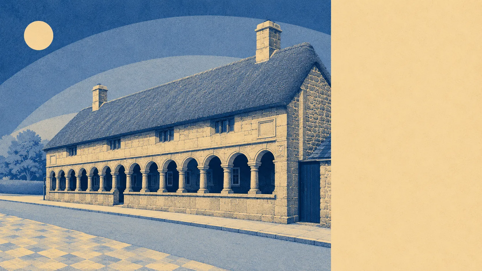
Altering a house is a conversation with the planners. There are 66 listed buildings, two of them grade one, two grade two star and 62 grade two, including the Church of St Andrew, the Almshouses and Mearsdon Manor, plus a conservation area covering much of the town and the scheduled village cross on Cross Street. The whole parish also sits inside Dartmoor National Park. Windows, solar panels, render, extensions: all of it starts with a form, and the answer is frequently no.
The character follows from the ownership. About 69% own, roughly 31% rent, split about 22% privately and 10% socially. The median age is 52, about 34% of households are one person and 19% are a pensioner living alone. Modelled household income for the area was about £59,000 gross before tax in the financial year to March 2023, or about £44,000 after tax, with around 39% holding degree-level qualifications, 15% none at all, and unemployment near 1%. Across the wider TQ13 postcode district there are 167 holiday lets, which is the sound of a Dartmoor housing market with a second job. This page also covers neighbouring Chagford, which shares the granite, the national park rules and the same distance from a railway.
It suits people who work from home or have stopped working, who can run a car without resenting it, and who want the moor to be the thing outside the window rather than the thing they visit. Families are reasonably served: Moretonhampstead Primary School is a nine minute walk, secondary means about 32 minutes in the car to South Dartmoor Community College, and Ofsted rates 138 of the 172 graded settings across Devon as good or better, three of them outstanding.
It does not suit anyone who needs a train, anyone hoping to go car-free, or anyone who wants a shortlist of houses rather than whichever two are available. If a modern, cheap-to-heat house is the priority, the stock here will fight you.
The town produced George Parker Bidder, born 1806, a mental arithmetic prodigy who became an engineer; James Jackson, born 1757, who ended up governor of Georgia; and Reginald Engelbach, born 1888, whose Egyptology sits in the Egyptian Museum in Cairo. Three of the most gifted people the place ever made, and all three of them left. That is less an indictment than a description of what a moorland market town is for.
Moretonhampstead is a good place to live for people whose week fits inside a car and a broadband connection. Its real strength is everything around it: green space at the end of every street, water and cycle routes within a few hundred metres, and a national park that will still look like this in thirty years. The weak spot is movement. No station, a bus timetable nobody could build a working week around, and a hospital the better part of an hour away. The people who leave almost always leave because of the driving, never because of the town.