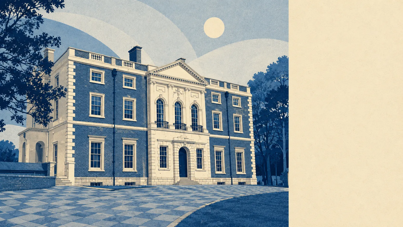
Better than the estate sitting in the middle of it. About a dozen separate green spaces fall within a kilometre of the average doorstep. Water is a few hundred metres away in most directions. Push past the last cul-de-sac and it turns into farmland, river meadow, burial mounds and a minster town. Merley was drawn up by developers. What surrounds it was not, and that is the whole appeal.
On the mapping of accessible green space, the average postcode here has around 12 separate green spaces within a kilometre, with the nearest about 210 metres away. That is not one park at the end of the estate, it is a network of them, and it is why nobody here needs to plan a walk in advance.
Blue space sits about 440 metres from the average postcode, with roughly 18 water features within a kilometre. The Stour runs along the northern side of Oakley, and most of the local geography arranges itself around that fact whether residents notice it or not.
The National Cycle Network is a different proposition: about 2.5 kilometres from the average postcode, with 14% of postcodes close to it. For most households that means driving to the cycle path, which is one of the more quietly absurd arrangements the country produces.
On the ownership and valuation records covering the wider area, the premises mix runs to 335 shops, 41 pubs and 19 restaurants. Pubs comfortably outnumber restaurants, which describes the evening economy without anyone needing to visit it.
Fine-particle pollution across the council area averaged about 6 micrograms per cubic metre in 2024. That figure covers the whole Bournemouth, Christchurch and Poole area rather than Merley on its own.
The character here is borrowed from what Merley is attached to rather than from Merley itself. Wimborne Minster sits immediately to the north, with the minster church of St Cuthburga, the Priest's House Museum and Dean's Court all on the listed register. Canford Magna and Pamphill are conservation villages on the other flank, Kingston Lacy House and its obelisk stand within the wider bounds, and Hillbutts, Cowgrove and Pilford are close enough to be postal addresses rather than curiosities on a map.
Private outdoor space is the part nobody measures and everybody wants. There is roughly 159,000 square metres of garden per 1,000 residents here. Public parkland gets described at length in every listing; whether the house itself has a garden worth standing in is the question buyers actually ask, and the answer here is a generous yes.
The local rating list carries 151 rateable premises, while the wider records show 538 offices and 39 holiday lets alongside the shops. Those are premises on a valuation list rather than businesses currently trading, so the list describes floor space, not what is open on a Tuesday afternoon.
Of the 36 food premises carrying a published hygiene rating, 97% hold the top score and none falls in the bottom bands. A near clean sweep, and the sort of number nobody looks up until the one occasion they wish they had.
Worth saying plainly: there is no area of outstanding natural beauty here, no site of special scientific interest, and no ancient woodland on record. The green is working farmland, managed parkland and river margin rather than protected landscape. That is not a shortfall, it just means the fields have jobs.
The surroundings are the strongest case the place makes: green in every direction, water within a short walk, gardens that earn their keep, and a minster town with conservation villages doing scenery work the estate itself never attempted.