Yes, if you've already made your money somewhere else. Three in four households own their home. The typical resident is past fifty. Half the workforce works from home, and almost nobody gets the train. Mayfield is a very good place to live once the commuting part of your life is over.
The detached house runs the village. On the council-tax valuation list, about 39% of Mayfield's homes are detached, 19% semi-detached, 16% terraced, 12% flats and 10% bungalows, and 48% were built before 1930. Four in ten households have four or more bedrooms. The age shows up on the energy certificates: 40% of certificated homes sit in band D, about a fifth are E or worse, and only 40% reach C or better. Around 71% of homes are on mains gas, so the average buyer is spared the heating-oil lottery, though a house older than your grandparents will still want its boiler kept busy. Nobody ever bought in Mayfield for the thermal efficiency, and it's no use pretending otherwise at the viewing.
The Land Registry's twelve months to January 2026 recorded 23 sales at a typical price of about £445,000. The average hides a split. Flats went for around £250,000, semis about £425,000, terraces around £445,000, and detached houses roughly £800,000, which is where the village keeps its real money. Council tax follows the houses: the most common band is G, and only 11% of homes fall into bands A or B. Estate agents call this "village life". The council calls it band G.
Renting is a narrow door. Typical private rent across the Wealden area was about £1,260 a month as of April 2026. That is a district-wide figure, not Mayfield's own, and only about 16% of households here rent privately, so the choice at any one time is thin. Anyone hoping to rent for a year to try the place out should expect to wait for the right listing to come up.
Crime is low. Police records for June 2025 to May 2026 put Mayfield at about 31 crimes per 1,000 residents, roughly 44% below the Wealden average. At that level the neighbourhood watch sticker in the window is mostly decorative. The quiet is real, and it is one of the more convincing things about the place.
Getting anywhere takes planning. The nearest railway stations are Crowborough and Wadhurst, and only about 1% of working residents take the train to work. Half work from home and 39% drive, so the village solved its commute by mostly not having one. Mayfield's 12 bus stops average 25 weekday departures each, but in the peak hour the average stop sees half a bus. Broadband does better than the buses: about 99% of premises can get superfast and 69% gigabit, and every postcode gets 4G or 5G from at least one operator. On the Department for Transport's 2019 modelling, the nearest town centre is about 17 minutes by car or 29 by public transport, and the hospital is about 32 minutes by car against 89 by public transport. A second car here is how the household works, not a luxury.
This is where Mayfield earns its keep. The whole village sits inside the High Weald Area of Outstanding Natural Beauty, the nearest green space is about 200 metres from the average front door, and there are around eight within a kilometre. None of Mayfield falls in the Environment Agency's river-and-sea flood zones 2 or 3. On the wider postcode indicators, which include surface water, about 4% of postcodes carry at least one high-risk flag, 3% medium and 17% low, so check the specific address before you commit. Even the radon sits in the lowest band. The countryside is the product, and it delivers.
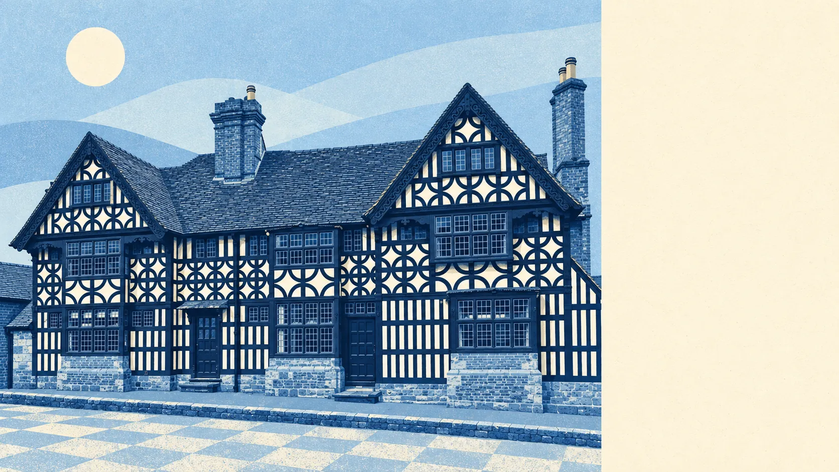
Heritage comes with strings attached. Historic England lists 92 buildings here, three at Grade I, three at Grade II* and 86 at Grade II, and two conservation areas, Mayfield and Coggins Mill, cover the core. The Parish Church of St Dunstan, the Old Palace that now houses Mayfield School, and the Middle House Hotel set the tone for everything around them. Buying on the high street means buying a relationship with the conservation officer. New windows, extensions and anything visible from the pavement go through consent, and consent keeps its own pace. The same rules that make the street worth photographing make it slow to change, and the people who chose it tend to see that as the point.
Mayfield is settled and comfortable. About 76% of households own their home, the median age is 52, and the Office for National Statistics models average gross household income at about £65,000 for the financial year to March 2023. There are three pubs. Nobody moves here for the nightlife, and residents would be alarmed if anyone tried to start one.
The page also covers the wider parish of Mayfield and Five Ashes, with Five Ashes as the smaller village further down the A267 and its own church primary school. The character carries over: fields, lanes, old houses and a car on every drive.
Mayfield suits buyers who work from home or have stopped working, who want a walkable old high street with open countryside at the end of it, and who have a budget that starts with the family house and not the first flat. Couples trading down from a London semi to a Wealden detached house tend to get exactly what they came for, provided they drive.
It suits badly anyone who needs a train every morning, anyone watching every pound on council tax and heating, and anyone who thinks a listed cottage is a blank canvas. First-time buyers will find a handful of flats and very little else, and young renters will find even less.
Mayfield is a good place to live, with conditions attached. Its real strength is the setting: protected countryside on every side, green space close to every door and crime low enough to forget about. The weak spot is value, because detached prices, band G council tax and old housing stock all push the cost up at once. Come with equity and a car and the village makes sense straight away. Come without either and the sums won't work.