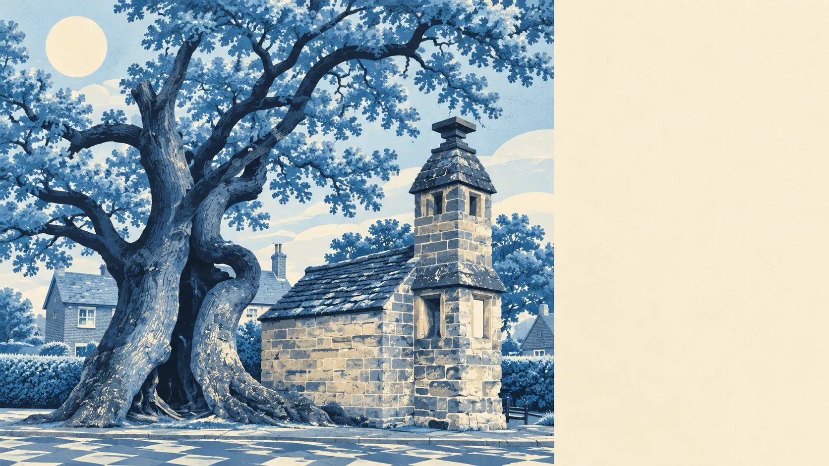
Green and watery, and short on places to eat. Green space starts a short walk from the average front door. Ponds and streams are everywhere. The village has twice as many pubs as restaurants. Countryside comes first here, and nightlife doesn't come at all.
The average Lingfield home is about 160 metres from the nearest public green space, and there are around 14 green spaces within a kilometre. That's closer than many suburban homes are to their bins. Nobody here needs to plan a trip to find grass.
Water is almost as close. The average home is about 170 metres from the nearest blue space, meaning ponds, lakes, streams or rivers, and around 36 of them sit within a kilometre. That's what the old iron-working country left behind: the parish's southern half once ran on hammer ponds, and the landscape still holds on to its water. Gun Pond sits in the old village centre, and the Eden Brook runs along the northern edge.
Cycling out is harder. The nearest stretch of the National Cycle Network is on average about 5.4 kilometres away, and no postcode in the area sits close to it. The lanes are there for anyone who rides. The signposted route isn't.
The business rates list shows 50 shop premises, 8 pubs and 4 restaurants. For a village, that's a working high street rather than a museum piece, and the pub count makes clear where the social life happens. Food hygiene inspectors have rated 28 local food outlets. About 96% hold the top score of five and none sit at the bottom, so you can eat anywhere here without worrying.
Fine-particle air pollution across the Tandridge council area measured about 7.2 micrograms per cubic metre in 2024. That's a council-wide figure, not a Lingfield reading, and it describes a district with more fields than traffic.
What gives the area its character is the old stuff and the open stuff, side by side. The conservation area around the High Street, Gun Pond and Church Town holds the medieval church and the timber-framed houses, and Lingfield Park, with its racecourse and golf course, sits on the edge. Starborough Castle's moat survives to the east, Greathed Manor is a registered park and garden, and Dormans Park and Crowhurst fill in the countryside around. Lingfield's cricket club played its first recorded match against London in June 1739, and the village has been politely declining to become part of London ever since.
Private outdoor space is generous. Across the area's neighbourhoods, gardens add up to about 340,000 square metres for every 1,000 residents. Measured per person, that's a lot of lawn to mow, and it means most people here have space of their own before they reach anything public.
The business rates list holds 82 rateable premises across the area, with shops the largest single group. These are premises on the valuation list, not a count of businesses currently trading, so an empty unit still counts. The mix is what a village centre should be: small shops, some offices and the pubs, with nothing that would make the place a destination.
Eating out is dependable. Of the 28 rated food premises, about 96% hold the top hygiene score, and 0% fall into the low-rated bands. The choice is narrow, but the kitchens are clean.
No protected landscape designation overlaps the area: no area of outstanding natural beauty, no site of special scientific interest and no ancient woodland. That isn't a mark against it. Lingfield's countryside is working farmland, ponds and commons rather than a protected landscape.
The surroundings are one of Lingfield's real strengths: green space, water and gardens within easy reach of almost every home, with a small, tidy village centre in the middle. If you're after a rich choice of restaurants, you'll need to drive somewhere bigger.