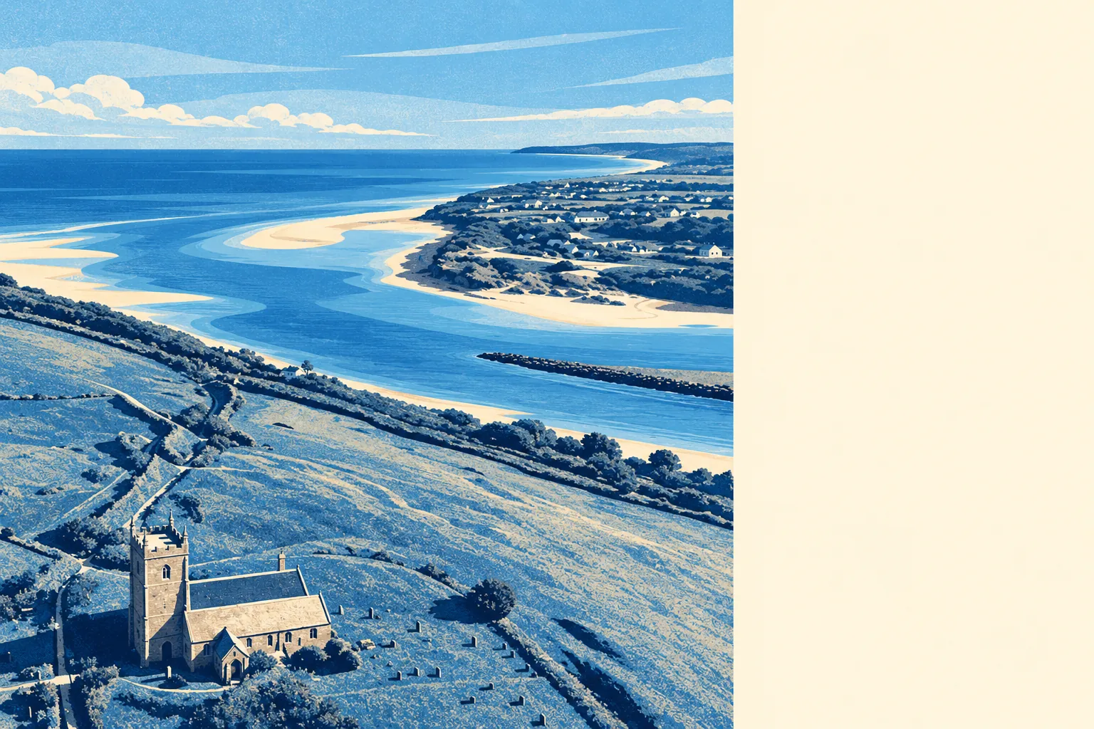
Mostly no, with one clear exception sitting exactly where you would expect it. Only a sliver of the village falls inside the river and sea flood zones. Almost every postcode is within a few hundred metres of tidal water. Nothing on record says the place has ever flooded. Lelant's flood question is about the water's edge, not about the village behind it.
On the Environment Agency's river-and-sea flood zones, about 2% of the area's postcodes sit in zone 3, the higher-probability band, and about 2% in zone 2, the medium-probability fringe that lies beyond zone 3 rather than containing it. Those are two separate bands, and neither is large. For a settlement built along a tidal shoreline, that is a better result than the geography advertises.
Surface water is the risk that catches people out in places like this, and it is not broken out as its own share in the mapping used here. It folds into the combined postcode indicators further down, so treat the combined figure as the one carrying rainwater runoff as well as rivers and sea rather than looking for a separate surface-water percentage that does not exist.
Looking forward, the climate-adjusted picture widens the exposure considerably. Once climate-change allowances are applied to the zones, about 26% of postcodes fall within them. That is not a forecast of flooding, it is a modelled allowance for higher water, and it is the figure worth knowing if you are buying a house you expect to still own in thirty years.
For insurance, the practical effect is uneven. Most of Lelant should price like any other rural Cornish address, while a property inside the zones or close to the shoreline will be underwritten on its own merits, and underwriters work from the property rather than the village. Get an indicative quote on the specific address before instructing anyone, because the answer for one house here tells you nothing useful about the house 300 metres inland.
Taken across all measures together, including surface water, about 8% of the area's postcodes rate high on at least one flood indicator, 10% medium and 25% low. Those bands overlap with the zone figures above rather than adding to them, because a single postcode can appear in both. The honest reading is that a small minority of Lelant carries some flagged risk, and a quarter carries a low one.
Counted as homes rather than postcodes, the Environment Agency's rivers-and-sea mapping covers 178 properties across the postcodes that carry any risk at all. Of those, 4 sit at high risk, 3 of them residential, none at medium, 13 at low and 3 at very low. Postcodes with no risk do not appear in that count, so this is the exposed end of the village described in full, not the whole village.
On defences, the modelling is blunt. About 2% of postcodes sit within the high-risk flood extent with no defence present in the model, and none sit behind a modelled defence. Nothing currently stands between the water and the small number of properties nearest it. That is a statement about what the model contains, not a verdict on how any individual property was built.
The water is genuinely close. Around 98% of the area's postcodes lie within 500 metres of the coast, a threshold the mapping defines rather than a claim about any one address, with the nearest sitting about 39 metres from it and the typical postcode around 225 metres away. The shoreline management policy across the 20, 50 and 100 year horizons is hold the line, which is a stated intention to maintain defences rather than a promise that they will be funded, or evidence that any exist here today. At the nearest tide gauge, Devonport, sea level rose at around 2.35 millimetres a year across the 1962 to 2015 record. That is a measured historic rate, not a projection.
No historic flooding is recorded in the area. That is real reassurance rather than a technicality, though a clean record is evidence of nothing having been logged rather than proof nothing ever happened.
Flood risk here comes out middling: a low-exposure village with a genuinely exposed fringe, no defences in the model where the water is closest, and a climate allowance that widens the map more than the current zones suggest. Which house you buy matters far more than which village you buy in.