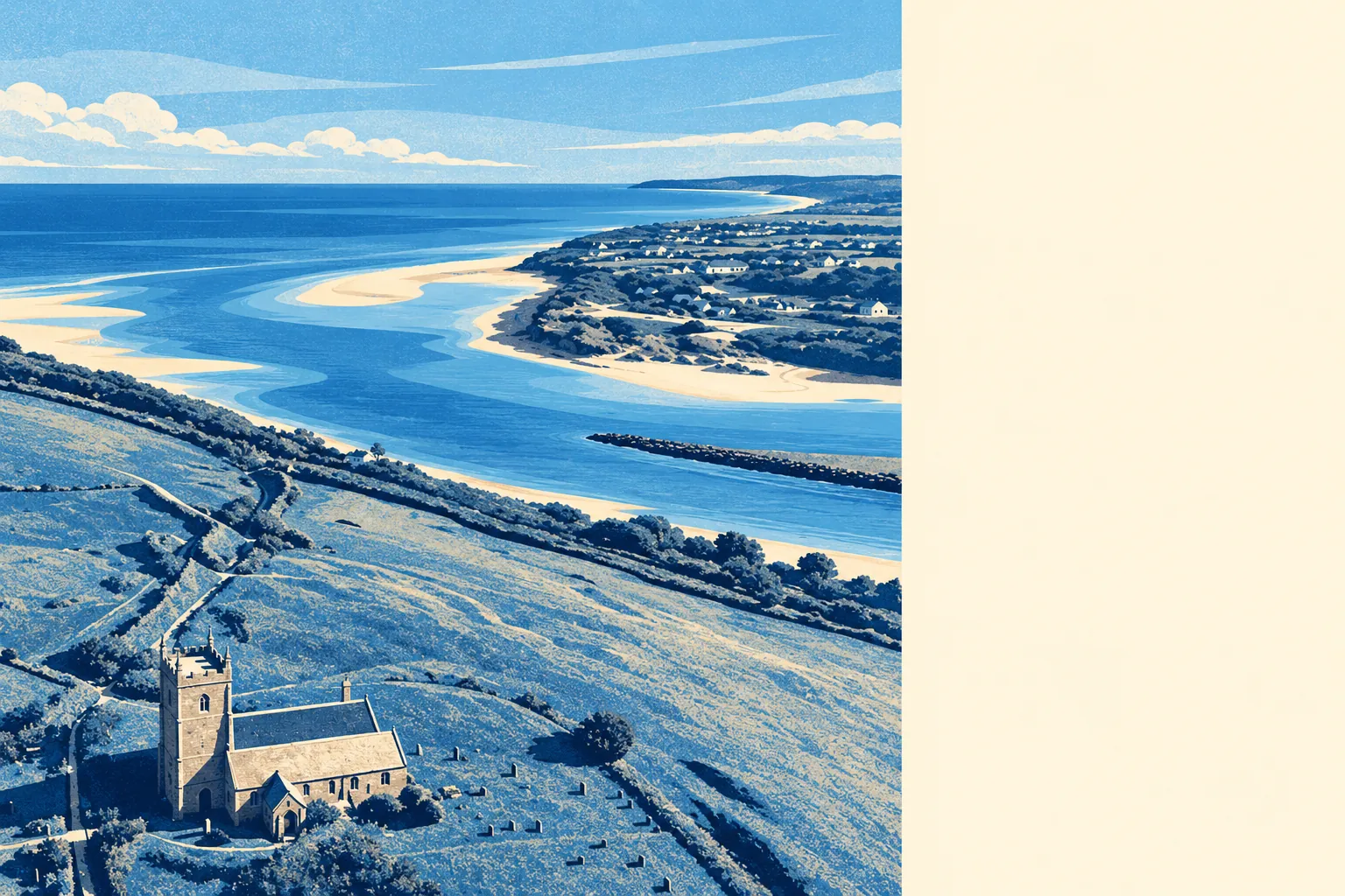
Yes, if you have already finished with the parts of life that need an audience. Five in six households own their home. The typical resident is nearer sixty than fifty. Two railway stations carry the village name and almost nobody commutes on either. That is the trade, made knowingly, by people who were not waiting for anything to happen.
The bungalow won here. On the council-tax valuation list, which covers every dwelling rather than only the ones certificated in recent years, about 33% of homes are bungalows and 26% are detached houses, with semis at 15% and terraces at 14%. Flats make up 7%, and most of those you would have to go looking for. Around 36% of the stock predates 1930, and the rest arrived in unhurried instalments afterwards. Heating runs on mains gas in 73% of households, with 6% on electricity alone and 2% with no central heating at all, and an all-electric older property is a running-cost question to ask before the viewing rather than after the first bill. Energy certificates place 46% of certificated homes in bands A to C, 34% in band D and 20% in band E or worse, so the granite end of the village is warm in the way granite has always been warm.
The Land Registry recorded 18 sales in the twelve months to April 2026, at a median of about £437,500. Eighteen sales in a village this size is less a market than a waiting list. Detached houses did most of that work, twelve sales at a median near £522,500, while the four terraced sales landed around £315,000. That spread is the real decision in Lelant: the price gap between the two is the price of the aspect. Council tax sits mostly in band D, at roughly £2,590 a year, with about 31% of dwellings in bands A or B.
Renting is a minority arrangement here, covering about 15% of households. The typical private rent across the Cornwall area is about £1,000 a month, up around 5% in the year to April 2026, with two-bedroom homes around £880. Those are Cornwall-wide figures from the Office for National Statistics rather than Lelant's own, and in a village where ownership runs this high, the local sample behind them is thin.
The published crime rate is about 32 offences per 1,000 residents over the twelve months to May 2026, roughly 57% below the Cornwall average. It is a rate published for the area, not a headcount of incidents divided by the people who live here, and it is the single most flattering thing on Lelant's record. Whatever anyone tells you about somewhere being quiet, this is what quiet actually looks like when it is measured.
Connectivity is where the village asks you to pay. About 51% of working residents drive to work and 37% work from home, 3% take the bus, and train commuting runs at a fifth of one percent, which is a hard number to reach with Lelant Rail Station, Lelant Saltings and St Erth all within reach. The Department for Transport's modelled journey times put the nearest town centre 14 minutes away by car and 32 by public transport, and the nearest hospital 16 minutes by car against 39 on public transport. Roughly 49% of households run two cars or more, which is less a lifestyle than a timetable workaround. Twelve bus stops serve the area, six of them with published service data averaging 59 weekday departures each, and all six have a weekend service. Broadband is the cheerful half: superfast reaches 99% of premises, gigabit 45%, and nothing falls below the minimum speed standard.
On flood, the two measures that get quoted say different things, so both are worth naming. Taking postcodes and at least one flood indicator including surface water, about 8% carry a high rating, 10% medium and 25% low. On the Environment Agency's narrower river-and-sea flood zones, about 2% of the place sits inside them, though 26% falls within the zone once climate-change allowances are applied. No historic flooding is recorded. Green space averages about 250 metres from the doorstep with roughly four separate spaces within a kilometre, and water is nearer still at about 175 metres, which in Lelant is the entire point of the address.
Heritage is a genuine constraint rather than a decorative one. The area holds 55 listed buildings, one of them Grade I, three Grade II star and the other 51 Grade II, plus seven scheduled monuments and the Lelant conservation area covering the old core. If your house is listed, or sits inside that boundary, the window replacements, solar panels and rear extension you were sketching turn into an application rather than a weekend. That is a consent process, not a veto, and it is the reason the village still looks like itself instead of like the last thirty years.
The character follows from the ownership. About 85% of households own, the median age is 59, and typical household income sits near £48,300 for the financial year to March 2023. A village that owns its own houses and has a median age heading for sixty makes its decisions slowly, in person, and with a long memory for who said what at the last meeting.
It suits people who have stopped needing the world within walking distance: retirees and near-retirees, remote workers who want the water at the end of the lane, families who can absorb two cars and value the low recorded crime and the space over the convenience. It suits second-home money less well than the coast a mile east does, which has kept the place recognisable.
It does not suit anyone without a car, anyone who needs a choice of evening beyond the one they have already made, or a buyer looking for a listed cottage they can remodel at speed. If you need a railway station to actually function as a commute rather than as a fact about your address, look harder at the modelled times before you offer.
Lelant is an above-average place to live, and it earns that unevenly rather than across the board. Its real strength is safety, where the recorded rate sits far below the county's, backed by the green and blue space that sits within a few hundred metres of most front doors. The weak spot is transport and connectivity, where the bus service, the barely-used branch line and the gap between car and public transport journey times make a second vehicle the price of entry. Pay that price and the rest of it is the quietest good deal on this stretch of coast.