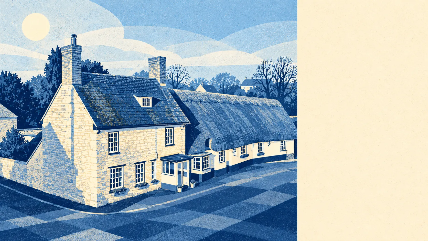
Launton's surroundings are open, green and close, and the best of it starts at the edge of the garden. Green space is a short walk from most homes. Water is about as near. A national cycle route passes almost every front door. The shops are the other way, in Bicester.
Green space is easy to reach. The nearest one is about 190 metres from the typical home in Launton, and there are about six within a kilometre. Nobody here needs the car to find a field.
Water is just as close. The nearest blue space, a pond, stream or similar, is also about 190 metres from the average home, with about 31 within a kilometre. For a village with no river worth naming, that is a lot of water.
The National Cycle Network runs about 120 metres from the average home, and every postcode in the village counts as close to it. The ride into Bicester is a short one, and the countryside the other way is just as easy to reach. No ancient woodland is recorded in the area.
For everyday amenities, the counts from the rated-premises records cover a wider area than the village itself, reaching well into its surroundings: about 401 shops, 28 pubs and 25 restaurants. Most of that lies in and around Bicester, with Bicester Village drawing the out-of-town shoppers.
Air quality is good. Cherwell's average level of fine particles was about 6.8 micrograms per cubic metre in 2024, a council-wide figure that covers Banbury and Bicester as well as the villages.
The character comes from the mix of town and country right on the doorstep. Launton sits on Bicester's eastern side, with Langford Village and King's End on the town's edge and Ambrosden and Blackthorn among the villages beyond. History is scattered through the wider district: the Alchester Roman parade ground, the World War II airfield at RAF Bicester and the deserted medieval settlement at Wretchwick are all scheduled monuments in the surrounding area. Wretchwick has already been abandoned once, which sets a low bar for the neighbourhood that Launton clears easily.
The gardens are generous. The area has about 207,000 square metres of private garden for every 1,000 residents, a measure of how much outdoor space people actually own. Launton's houses come with real gardens, and the bungalows and detached homes sit on plots to match.
Inside the village, commercial life is small. The council-tax valuation list shows 39 rateable premises, with offices the largest group at 13, followed by eight industrial-type units and three shops. Those are premises on the list, which may or may not all be trading, and they confirm what anyone can see: Launton is mostly homes, and the high street belongs to Bicester.
Eating out locally is a short list, all of it clean. All seven food outlets with a hygiene rating hold the top score of five, and none is rated low.
No area of outstanding natural beauty, site of special scientific interest or ancient woodland overlaps Launton. The landscape here is ordinary north Oxfordshire farmland, protected by nothing except the fact that people like walking through it.
The surroundings are one of Launton's real strengths: fields, water and a cycle route within a few minutes of almost every house, with a busy town just over the hedge for everything else.