Ladbroke Grove is very well wired into London, and very few of the people who live along it own their homes. Six in ten households get by without a car, and the buses give them no reason to buy one. Only one home in five belongs to the people inside it. Most of the rest are let by a social landlord.
The buses are the strongest part of the case. The area has 407 bus stops, and the average one sees about 312 departures on a weekday and around 17 in the peak hour, with every stop that has timetable data running at weekends as well. Kensal Green station is close by, and the road itself crosses the Great Western Main Line on its way down from London Paddington. The Department for Transport modelled the trip to the nearest town centre at about 10 minutes by public transport, though those journey times date from 2019 and timetables have changed since. Broadband is just as strong: gigabit-capable connections reach about 92% of premises and superfast about 99%, and every postcode gets 4G or 5G from all the operators. At the 2021 census, about 40% of working residents worked from home, 13% took the bus, 13% drove and 3% went by train. Somewhere this easy to leave, four in ten workers had no commute at all.
The weak side shows up in the neighbourhood figures. About 20% of households own their home, roughly 20% rent privately and 58% rent from a social landlord, according to the 2021 census. The median age is 37. The Office for National Statistics models average gross household income at about £62,000 for the financial year to March 2023. That figure is an average across ten neighbourhoods with very different bank balances, so it describes very few actual households. On the government's deprivation index the area's neighbourhoods average around the third decile in 2025, where the first is England's most deprived tenth, and that has barely moved since 2019. About 17% of homes are overcrowded. The same road runs south to Holland Park Avenue, and the two ends of it are not having the same decade.
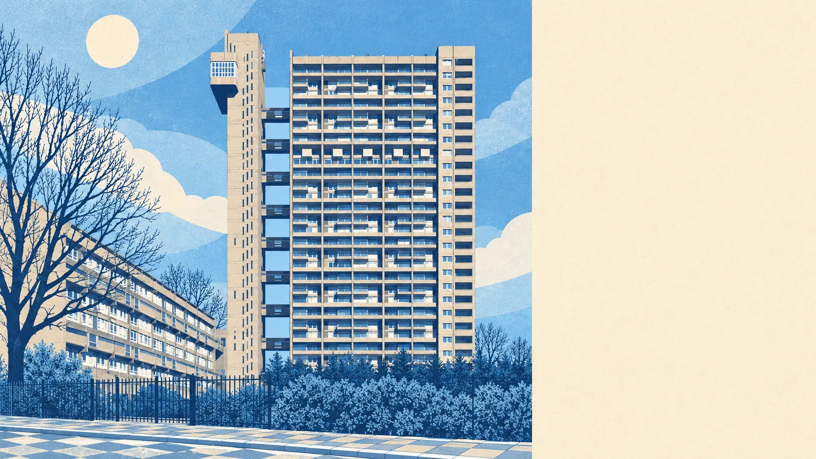
There are 318 listed buildings in the area: 3 at Grade I, 26 at Grade II* and 289 at Grade II. The wider box drawn around it takes in 18 conservation areas, and Historic England has 33 listed buildings nearby on its Heritage at Risk register. Owners of listed homes need consent for most changes beyond repainting the hallway. Trellick Tower on the Cheltenham Estate is on the list, and so is Kensal House. In Ladbroke Grove the concrete is protected as carefully as the stucco.
Over the Land Registry's twelve months to May 2026, 127 homes sold at a median of £750,000. The 79 flats went for a median of £570,000, and the 45 terraced houses for £999,999, a pound short of a headline. Where sales could be matched to an energy certificate, the median price came to about £10,200 a square metre. Band D is the most common council tax band, with only about 17% of homes in bands A and B.
Across Kensington and Chelsea the typical private rent is about £3,600 a month, an Office for National Statistics borough-wide average for April 2026. One-bedroom homes across the borough average about £2,570 a month, and two-bedroom homes about £3,340.
According to the council-tax valuation list, about 81% of homes are flats and 15% are terraced houses, with semis and detached houses barely registering. About 53% were built before 1930. Of the homes with an energy certificate, 62% are rated A to C, 31% D and 7% E or worse. About 66% of households heat with mains gas and 13% with electricity alone. Four front doors in five open onto a shared stairwell.
Police.uk records about 189 crimes per 1,000 residents in the year to May 2026, roughly 3% above the Kensington and Chelsea average of about 183. The mix is unusual. Shoplifting makes up 16% of recorded crime against 8% nationally, and drug offences 8% against 4%, while violence and sexual offences come in at 24% against a national 35%. Across the whole Metropolitan Police area someone was charged in about 10% of cases over the same year, against 12% nationally, a figure for the whole force that puts it 33rd of 42 forces. Most of what stands out here gets taken off a shelf.
The flood picture depends on which map you read. In the Environment Agency's river and sea flood zones, none of the area's postcodes falls in zone 2 or 3. On the wider postcode indicators, which include surface water, about 25% of postcodes carry a high risk on at least one measure, 23% medium and 39% low. Here the danger is heavy rain with nowhere to go, and a map of rivers will never show it.
Nine primary schools in the district had an average score of about 107 in end-of-primary maths, and the two secondary schools averaged an Attainment 8 score of about 53 across eight subjects at sixteen. Barlby Primary School, Oxford Gardens Primary School and St Charles Catholic Primary School are among the local primaries, with Kensington Aldridge Academy and All Saints Catholic College at secondary level. Ofsted rates 20 of the 22 graded schools across Kensington and Chelsea good or outstanding, 8 of them outstanding. With only two secondary schools to pick from, parents tend to know both open evenings well.
Green space is close to most front doors, about 87 metres away on average, with around 62 green spaces within a kilometre. The Grand Union Canal is the nearest water, roughly 415 metres away on average. Kensal Green Cemetery is one of the best-kept spaces nearby, and nobody buried there has ever complained about the buses.
The page also covers Kensal Town, on the canal side, which was a detached piece of Chelsea from the Middle Ages until 1900. Borrowing a smarter address is an old habit round here. James Weller Ladbroke laid out the estate in the 1840s, and St John the Evangelist went up in 1845 on the site of the Hippodrome, which had closed four years earlier. At St Michael and All Angels the Duke of Edinburgh played violin in the church orchestra, until the vicar moved to the Curzon Street Chapel in 1886 and the fashionable congregation drifted off after him. Phiz, who illustrated Dickens, lived at No. 99 in the 1870s. Chrissie Hynde has links to the road, Rita Ora grew up here, and AJ Tracey named a song after it. No regeneration brochure has matched that for publicity.
This is the right place for a renter or a car-free buyer who wants central London a bus ride away, fast broadband and a flat in a period or post-war block. Anyone after a house with a drive, mostly owner-occupied streets and a neighbourhood where most households are comfortably off should look further south or further out.
Ladbroke Grove comes out middling. Getting around and getting online are hard to fault, and the hard part is the high deprivation and the small number of people who own the homes they live in. Take it if you care most about the bus stop at the end of the street. If you want neighbours who own their homes too, look elsewhere.