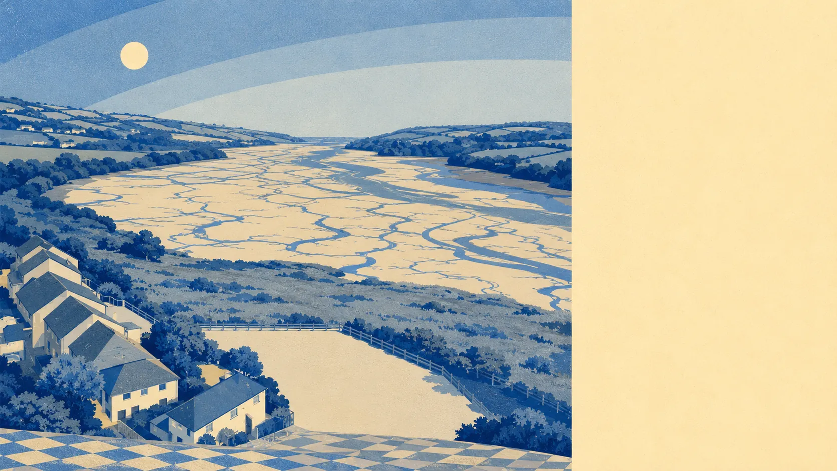
Yes, in places, and the places matter far more than the average. Roughly one postcode in eight sits in the highest river-and-sea flood zone. Most of the town does not. The last flood on the record came from the sea rather than the river, and it was decades ago. This is not a flood town. It is a town with a flood edge, and the edge is the part you read slowly.
The Environment Agency's river-and-sea mapping puts about 13% of the town's postcodes in flood zone 3, the highest-probability band, and about 1% in flood zone 2. Zone 2 being the smaller number is not a misprint. Zone 2 is the additional medium-probability fringe lying beyond zone 3, not a wrapper around it, so the two bands sit side by side rather than one inside the other.
Surface water is the risk that ambushes people, because it needs no river at all. It is not published here as a share of its own, arriving instead folded into the combined postcode indicators below. The practical consequence is that a postcode can rate badly on the combined measure while sitting comfortably outside the river-and-sea zones, and a buyer who only ever looks at the zone map will not see it coming.
The climate-adjusted zone, the version that adds an allowance for future conditions, currently covers 0% of the town's postcodes. That is a forward look on present modelling, not a promise about the rest of the century.
For most addresses here, insurance is an ordinary purchase made in an ordinary afternoon. For anything inside zone 3, or anything rating high on the combined measure, the insurer will ask questions and the quote will reflect the answers. Get an indicative quote before instructing a solicitor rather than after exchange, when the only remaining option is to be brave about it.
On the combined postcode indicators, which flag a postcode if it rates on at least one measure including surface water, about 7% come out high, about 26% medium and 25% low. Those bands overlap the zone figures rather than stacking on top of them. Adding the two sets together counts the same water twice, which is how a perfectly ordinary town ends up sounding like Atlantis on a forum thread.
Counted as homes rather than postcodes, the Environment Agency's rivers-and-sea mapping lists 1,522 properties across the 70 postcodes that carry any risk at all. Of those, 16 sit at high risk, 11 of them residential, with 470 at medium and 125 at low. Postcodes with no risk never appear on that list, so it is a register of the exposed rather than a headcount of the town. Sixteen high-risk homes is a street, not a settlement.
About 10% of postcodes fall inside a modelled high-probability flood extent with no defence present in the model, against under 1% where a defence appears at all. Defended, in this context, means only that the model knows a structure exists. It is not a statement that the structure will hold, and it is not a reason to skip the survey.
The tidal water is closer than the town's inland manner suggests. About 10% of postcodes sit within 500 metres of it, that distance being the dataset's own threshold rather than a claim about any one address, and the nearest point comes within about 27 metres. The median postcode sits around 1,100 metres back.
Every postcode here falls under a shoreline management plan. The stated policy over the next twenty years is to hold the line. Over the fifty and hundred-year horizons it shifts to managed realignment, meaning the shoreline is allowed to move rather than being defended where it currently stands. A policy is a stated intention rather than a wall, and the hundred-year version binds nobody currently drawing breath.
The nearest tide gauge, at Devonport, recorded sea level rising about 2.35 millimetres a year across its record from 1962 to 2015. That is a measured historic rate over that period and nothing more.
Flooding here is a question about the address rather than about the town. Most of Kingsteignton will go a lifetime without thinking about it, a defined edge has to think about it before every winter, and that split lands the place squarely in the middle of the range rather than at either comfortable end.