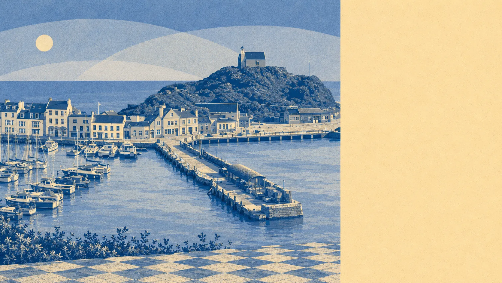
Genuinely excellent, and it is the least arguable thing about the place. Green space starts within a couple of minutes of most front doors. Open water is closer still. Nearly every postcode sits beside a national cycle route. Whatever Ilfracombe gets wrong happens inside the town boundary, because everything it gets right starts at the edge of it.
Access to green space here is at the level most towns claim and few deliver. The average postcode sits about 130 metres from a green space, with roughly 20 separate sites within a kilometre. That is not one municipal park doing all the work for a whole town. It is a scatter of them, close enough that reaching one is a decision made on the way out of the door rather than planned the night before.
Water is the other half of it. The average postcode is about 180 metres from open water, with around 43 blue spaces within a kilometre. In a town built around a harbour on a cliffed coast, those numbers describe something obvious, but the scale of them is still unusual. Most coastal towns have a seafront. This one has water in most directions at once.
Getting out into the countryside is equally frictionless. The National Cycle Network passes an average of about 190 metres from a postcode, and roughly 95% of postcodes sit close to it. No ancient woodland is recorded within the area, which is a fact about how this coast was cleared and farmed rather than a shortage of trees.
The wider setting carries formal recognition, though less of it than the cliffs might suggest. About 3% of the area falls inside the North Devon Area of Outstanding Natural Beauty. No site of special scientific interest overlaps the area at all. The designation map here understates the scenery, largely because the most dramatic ground sits just outside the boundary the data draws. Hillsborough, the hill fort site above the town, is a local nature reserve, and the coast itself forms part of the North Devon Voluntary Marine Conservation area.
Private outdoor space is the part of this picture nobody publishes. Across the eight neighbourhoods measured here, gardens amount to roughly 118,000 square metres per 1,000 residents. For a town where flats and terraces dominate the stock, that is a substantial amount of private ground, and it explains why the streets look denser than the aerial photographs.
What surrounds the town on the ground is a scatter of small settlements rather than suburbs. Hele and Chambercombe sit on the eastern side, Lincombe and the two Slades to the south, Langleigh and Goosewell in the valleys behind, with Mullacott Cross out on the higher ground. Woolacombe lies along the coast within the area this page covers. None of them is large, all of them are reached by lanes, and several were farms before they were addresses.
The commercial side is bigger than a town this size normally supports. The valuation list carries 643 rateable premises, including 257 shops, 34 pubs, 26 restaurants and 29 offices. Those are premises on a list rather than businesses currently trading, and in a resort town the difference between the two is seasonal. Even discounted for that, the retail and pub count is a resort economy showing its working.
On eating out, 134 premises carry a published food hygiene rating, and about 81% of them hold the top score. About 2% sit at the bottom of the scale. That is a better record than the average holiday town manages.
Air quality for the North Devon council area was recorded at about 4.7 micrograms of fine particles per cubic metre in 2024.
The surrounding area is Ilfracombe's outright strength, and the case for living here rests on it more heavily than on anything the town itself provides.