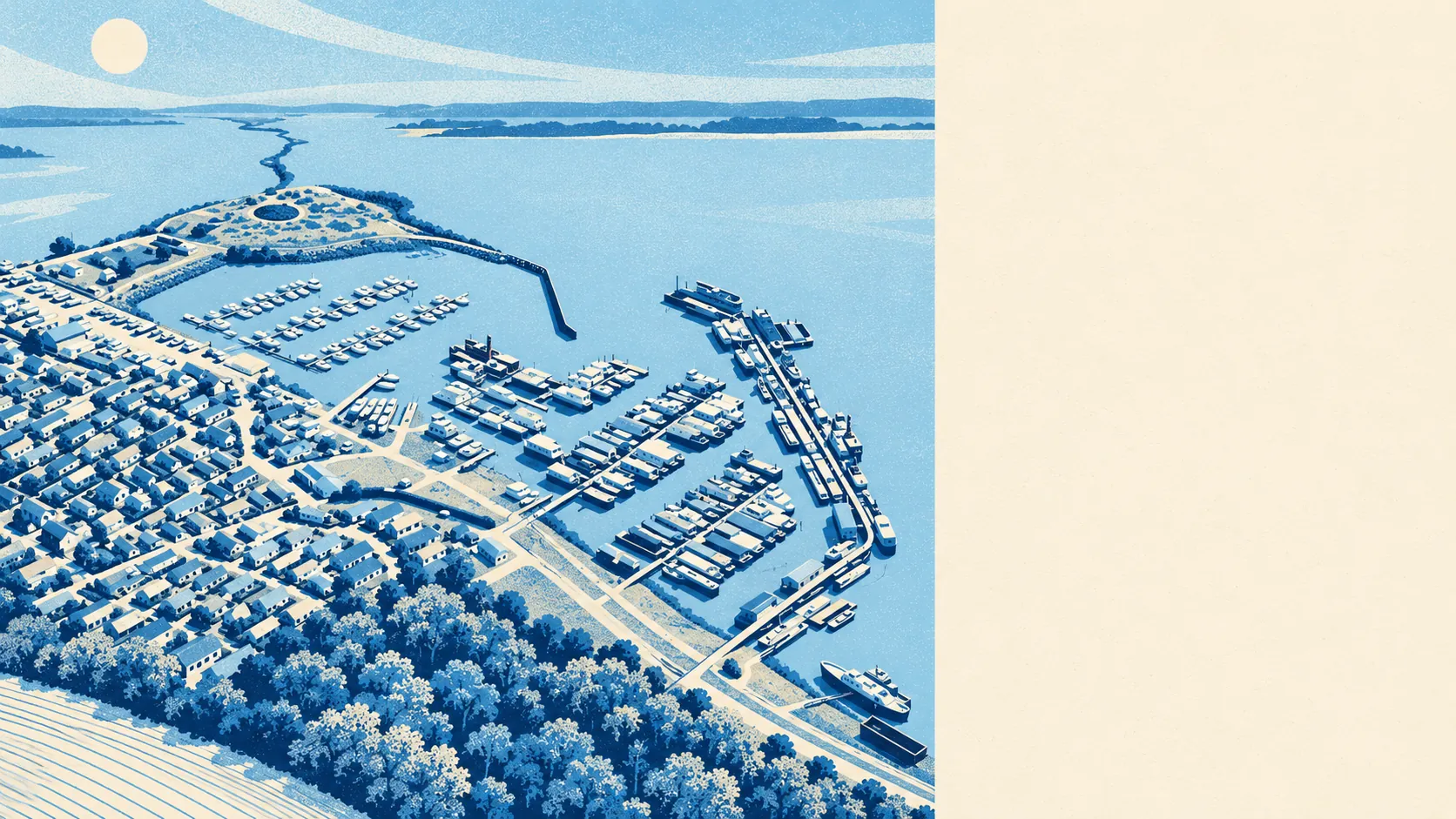
Yes, for a minority of homes, and that minority is bigger than the river maps alone suggest. Only a sliver of the village sits in the river and sea flood zones. About a quarter of postcodes rate high on at least one flood measure. The long-term plan for the shoreline is managed realignment, not holding the line. Most houses here are fine, and the rest need checking at the address before anyone offers.
On the Environment Agency's river and sea flood zones, 3% of the area's postcodes sit in flood zone 3, the highest-probability band, and another 3% sit in flood zone 2, the medium-probability fringe beyond it. The two zones do not overlap, so zone 2 being no bigger than zone 3 is not a mistake. On this measure alone, Hoo St Werburgh looks almost untouched.
Surface water is the part that measure leaves out. Rain that cannot drain away does not need a river to reach a front door, and it is mapped separately from the river and sea zones. This page does not carry a standalone surface-water share. Surface water is folded into the postcode-level measure further down, which is where the headline number for the village changes.
The Environment Agency's climate-change allowance, its forward look at how the flood zones could grow, takes the share of postcodes affected to 9%. That is a planning projection, not a forecast date. It is still the figure to hold in mind if the plan is to stay for decades rather than years.
Insurance follows the address, not the village. A house in a clear postcode should price like any other. A house on one of the flagged postcodes may cost more to cover, or come with a larger excess, and the time to learn that is before the solicitor is instructed.
Count postcodes across every flood indicator, surface water included, and 26% rate high on at least one measure, 26% medium and 55% low. These bands overlap with the flood-zone figures above and measure something wider, so the two sets of numbers should not be added together or treated as the same. An estate agent quoting "not in a flood zone" is telling the truth about one measure and nothing about the other.
In houses rather than postcodes, the Environment Agency's rivers and sea risk mapping lists 901 properties across the postcodes that carry some risk: 271 at high risk, 29 at medium, 167 at low and 1 at very low. Of the high-risk properties, 230 are homes. Postcodes with no risk at all do not appear in that list, so the count describes only the exposed end of the village.
Defences sit in the model for part of that exposure. On the Environment Agency's flood extents, 3% of postcodes fall inside the high-risk area with no defence in the model, and 3% fall inside it with a defence present. "Defended" means a wall or embankment appears in the model. It does not mean the house behind it is safe, and a seller who treats the word as a guarantee is selling something the Environment Agency never said.
The estuary is closer than the semis make it feel. The typical postcode is about 1,190 metres from the coast, 7% lie within 500 metres, and the nearest sits 10 metres from it. The 500-metre line is a threshold drawn by the data, not a verdict on any individual house.
The shoreline management plan for this stretch sets managed realignment as the policy at 20, 50 and 100 years. That means allowing the shoreline to move in a planned way, rather than committing to hold the existing line indefinitely. A policy is a stated intention, not a defence that exists or a promise that one will be built.
The nearest tide gauge, at Dover, recorded sea level rising by about 2.2 millimetres a year between 1961 and 2010. That is a measured historic rate, not a prediction.
No historic flooding is recorded within the area. That is reassuring, and it is also no proof that it has never happened, only that no event made the record.
Before offering on any house here:
- Put the exact address into the Environment Agency's long-term flood risk service, checking surface water as well as rivers and sea.
- Get an indicative insurance quote before instructing a solicitor.
- Ask the seller directly whether the property has ever flooded or claimed for flooding.
- Ask the surveyor whether any defence near the address is a wall, an embankment or a line on a model.
Flood risk is Hoo St Werburgh's weakest point. It is not a reason to rule the village out, but it is the one thing no buyer here should take on trust.