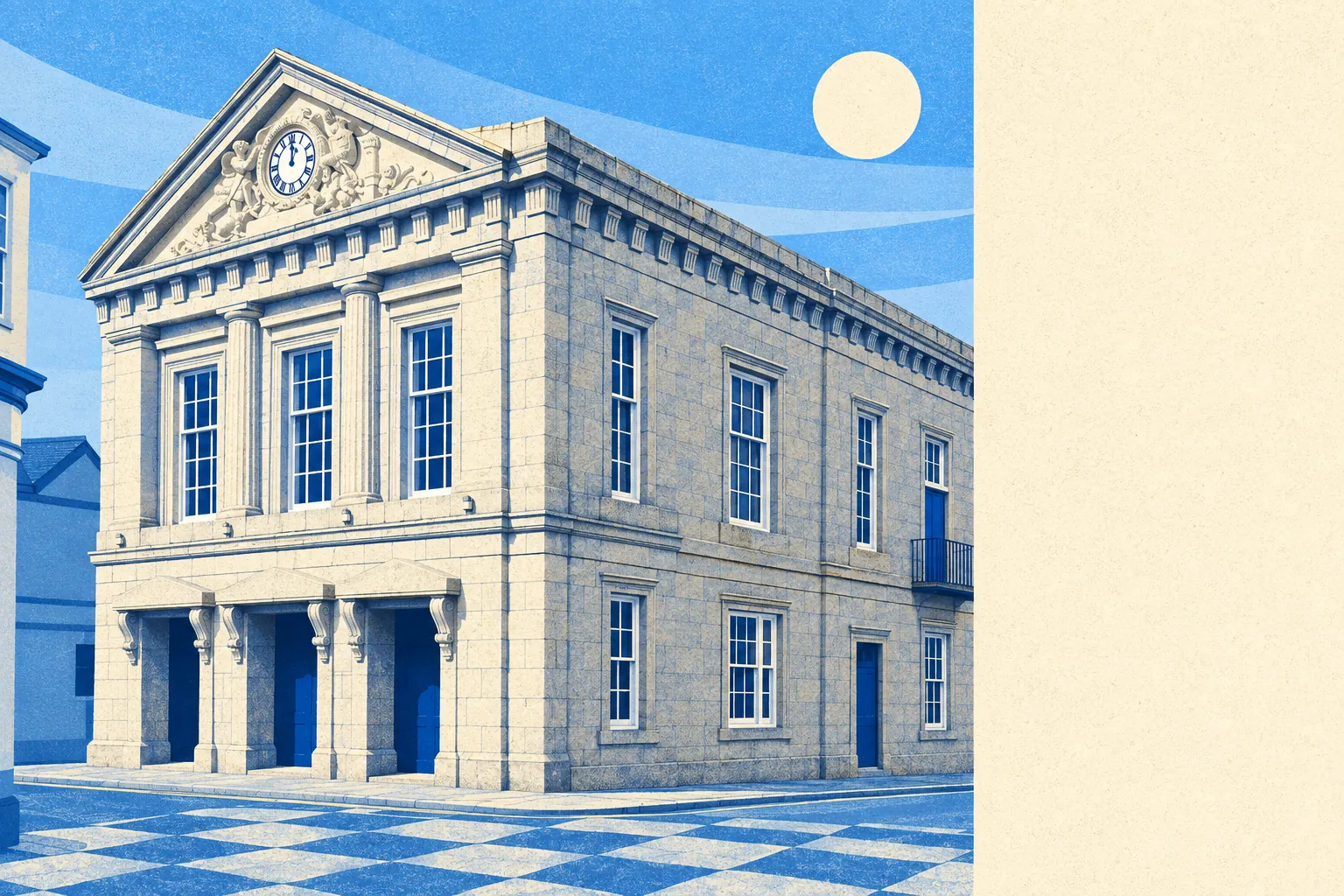
The area around Helston is the good stuff, and none of it carries a badge. Green space sits a couple of minutes from the average front door. Water is barely further, and there is a lot of it. Cornwall's largest natural lake lies just downstream, held back from the sea by a bank of shingle. No national park, no area of outstanding natural beauty, no famous designation of any kind. The scenery here has simply never applied for the paperwork.
Green space averages about 190 metres from a postcode in the area, with about 15 separate patches within a kilometre. That is not a park somewhere in the town. That is green within sight of most houses, which is the difference between outdoor space you use and outdoor space you drive to at weekends.
Water is the other half of it. Blue space averages about 580 metres away, with about 22 bodies of water within a kilometre. The River Cober comes down through the town towards Loe Pool, the lake formed when rising seas after the last ice age threw up Loe Bar across the river mouth and turned an estuary into a freshwater pool. Most towns have a river. Fewer have a river that lost an argument with a beach and became a lake.
Cycling is the gap. The nearest National Cycle Network route averages about 9,700 metres away, and no postcode in the area counts as close to one. There is no ancient woodland inside the boundary either. The riding here is lanes rather than dedicated routes, which suits some people and terrifies others.
The high street is a working one. The valuation list records 176 shop premises, 17 pubs, 8 restaurants and 74 offices across the area, out of 464 rateable premises in total. Those are premises on a list rather than a guarantee of what is trading this morning, but the shape is clear enough: a town with more offices than restaurants is a town where people work rather than visit. The list also records 272 holiday-let premises, which is the Cornish asterisk on everything, and worth knowing before anyone assumes the neighbours are permanent.
Air quality is measured for the council area rather than the town, and fine-particle levels across Cornwall averaged about 5 micrograms per cubic metre in 2024.
The character comes from the villages more than the town. Wendron, Sithney, Crowntown, Nancegollan, Trewennack, Lowertown and Trenear ring the place, each small enough to have one of everything and not two. Poldark Mine sits out at Trenear, a reminder that this ground was worked for tin long before it was admired for views. Penrose stands to the south towards the pool. None of it is arranged for visitors, which is precisely why it survives in the state it does.
Private outdoor space is generous and rarely mentioned. Gardens amount to about 116,600 square metres per thousand residents, which is the measure that matters, since the share of total land is meaningless in a place surrounded by farms. People here have their own grass, not just access to somebody else's.
Eating out is more reliable than the restaurant count suggests. Of 82 rated food premises, about 81% hold the top food hygiene score, and none sit in the bottom bands.
The absence of designations is worth stating plainly. No area of outstanding natural beauty overlaps here, no site of special scientific interest, no ancient woodland. That is not a shortfall. It means the landscape around Helston is working countryside rather than protected countryside, and it comes without the visitor economy that a designation reliably drags behind it.
The surroundings are the best thing Helston has, and it has never been asked to prove it to a committee.