Helston is a good place to live if you want Cornwall without the audience. Around two-thirds of people own their homes. The typical resident is in their early forties. Almost everyone drives to work, and almost nobody takes a train, because the branch line shut and never came back. This is not a resort with a town bolted onto it. It is a town at the top of the Lizard that carried on having a Tuesday while the coast learned to charge for parking.
The housing stock is ordinary in the useful sense of the word. On the council-tax valuation list, which covers every dwelling rather than only the ones certificated since 2008, terraces are the largest group at about 27%, semis about 20%, detached about 19%, bungalows about 17% and flats about 14%. Around 17% went up before 1930. That bungalow share is the tell: a town building for retirement and for first purchases on the same streets, because it has the plots to do both. Energy certificates put about 56% of certificated homes in bands A to C, about 32% in band D and about 12% in band E or worse. Roughly 71% run on mains gas, which is not something to assume this far down the peninsula, and about 8% run on electricity alone. In a thick-walled older property with no gas connection, that last figure is the one to ask about before the second viewing rather than after the first winter.
The Land Registry's last twelve months, to May 2026, recorded 117 sales at a median of £255,000. By type that splits into detached around £355,000, semi-detached around £275,000, terraced around £218,000 and flats around £135,000. The most common council-tax band is A, and about 52% of dwellings sit in band A or B. A town where the modal band is the bottom one, sitting a short drive from some of the most photographed coastline in the country, is telling you exactly where the money went. It went into the setting, not the valuation list.
Rent is published for the county rather than the town, so read it as a regional marker: the typical private rent across the Cornwall area was about £1,000 a month as of April 2026, up about 5% over the year. On the same county basis, one bedroom runs about £690, two about £880, three about £1,080 and four or more about £1,510.
Recorded crime over the twelve months to May 2026 came to about 69 offences per thousand people, roughly 7% below the Cornwall average of about 74. That is a published rate on its own population base, not the incident count divided by the number of people who live here, and the two are not the same sum. The mix leans where small-town mixes lean: violence and sexual offences at about 41% of recorded crime against about 35% across England and Wales, anti-social behaviour about 20% against 16%. Devon and Cornwall Police charged in about 8% of cases over that period against about 12% nationally, ranking last of the 42 forces on that measure. That is a force statistic rather than a Helston one. It is also the number that a burgled homeowner actually experiences.
Getting about means driving. About 63% of working residents drive, about 17% work from home, about 11% walk, and roughly one commuter in a thousand takes a train, which is what happens when the nearest railway station is in somebody else's town. Buses are better than that makes them sound: 73 stops in the area, 64 of them with published service data, averaging 47 scheduled weekday departures per stop and about four in the peak hour, with weekend services at about 98% of stops. Department for Transport modelling from 2019 puts the town centre about 8 minutes away by car and 15 on foot, a doctor's surgery about the same, a food store about 11 minutes' walk, and the nearest hospital about 34 minutes by car or about 62 by public transport. Treat the bus times as the ones that have aged; the car and walking figures have not moved. Gigabit broadband reaches about 74% of premises and superfast about 95%. Mobile signal from at least one operator covers effectively everywhere, and all operators cover about 95%.
On flooding, two different measures apply and they say different things. On the postcode indicators, which include surface water, about 13% of postcodes carry a high rating on at least one, about 19% medium and about 36% low. In the narrower river-and-sea flood zones, about 4% of the area falls in zone 3 and about 2% in zone 2. The Environment Agency's records list 20 historic flood events, the most recent in 1993 on the main river. The Cober runs through the town on its way to Loe Pool, so the water arrives where anyone with a map would expect it. Against that, green space averages about 190 metres from a postcode with about 15 patches within a kilometre, water about 580 metres with about 22 within a kilometre, and gardens account for about 21% of the area. Every postcode sits in the higher radon bands, the highest included, and about 22% have an abandoned mine within 500 metres, with three carrying one directly underneath. In old tin country, a radon test and a mining search are a line on the budget, not a plot twist.
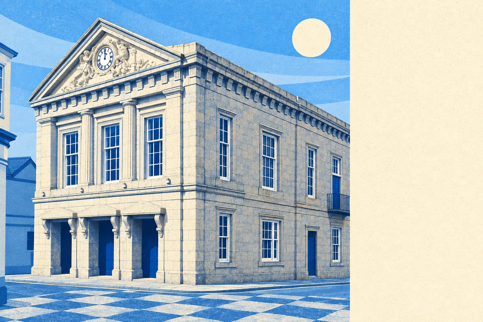
Heritage is where the freedom runs out. There are 230 listed buildings, two of them Grade I and eight Grade II star, one conservation area covering the town, three scheduled monuments including the wayside cross at the junction of Cross Street and Church Street, and one entry on the Heritage at Risk register. The Guildhall, the Church of St Michael and the Grylls Monument are the obvious constraints. The less obvious ones are the terraces standing next to them, where the rules are the same and the renovation budget is considerably smaller. Windows, doors, render and solar panels stop being decisions you make alone.
The character follows from that. About 64% own outright or with a mortgage, about 23% rent privately and about 12% rent socially. The median age is 42. Median gross household income was about £50,700 in the financial year to March 2023. About 30% of households are one person, about 15% a single pensioner and about 21% a couple with children. Around 31% hold a degree, and the official deprivation ranking puts the area in the more comfortable half of England and improving.
It suits people who want a functioning town rather than a scenic one. If you need a chemist, a secondary school, a bus that turns up on a Sunday and a coastline you do not have to book, this is a short list of one in this part of Cornwall.
It does not suit anyone whose plan depends on a commute by rail, a hospital nearby, or knocking the back off a period house without a planning officer forming a view. Buyers who want the postcard and none of the paperwork tend to look at the harbour villages instead, pay more, and get less town for it.
The town has form for producing people who could not stick to one job. John Rogers managed Anglican priest, mine-owner, botanist, mineralogist and scholar of Hebrew and Syriac, because the eighteenth century did not do part-time. Henry Trengrouse invented the rocket lifesaving apparatus. Davies Gilbert did engineering, authorship, politics and the local seat. Charles Abbot, Speaker of the Commons, raised a public subscription and used it to demolish the coinage hall, which makes the town's grandest political export the man who knocked its best building down. The charter came from King John in 1201 for forty marks of silver, the castle went up in 1280 and was a ruin by 1478, and the site is now a bowling green. Few towns bury their Norman keep under lawn bowls and say nothing about it.
Helston is above average to live in, and honest about which parts carry it. Its real strength is what surrounds it: green space within a few minutes' walk of almost every front door, water close behind it, and the Lizard beginning where the houses stop. The weak spot is the freedom to alter what you buy, because the listed stock and the conservation area cover the most attractive streets and the rules do not scale down with the price. Buy here for the setting and the running costs. Do not buy here expecting to do what you like with the elevation.