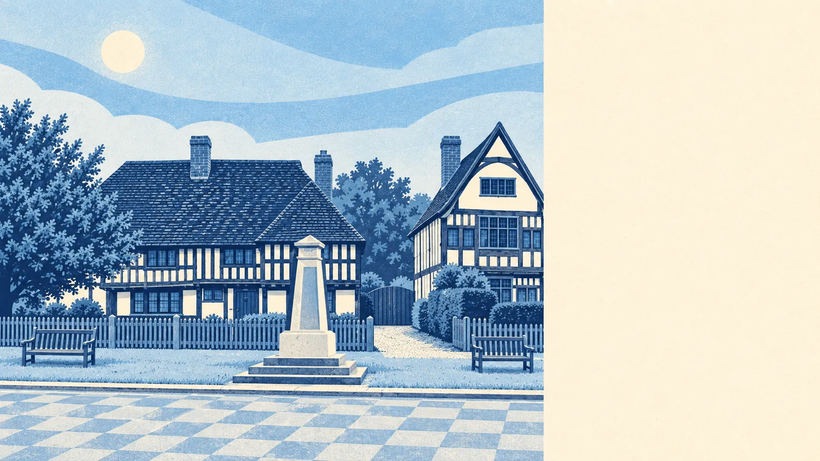
Green, flat and well supplied with pubs. There's a green space within a short walk of most homes. There's water in every direction. Not one official landscape designation covers it. This is countryside that works for a living rather than posing for a calendar.
Green space is easy to reach. Across the Headcorn area, the nearest public green space is about 460 metres away on average, and a typical home has about seven within a kilometre. Most people can walk the dog without having to drive somewhere first.
Water is even closer. The nearest pond, stream or river is about 290 metres away on average, with about 30 bodies of water within a kilometre of a typical home. This is the Beult's floodplain, so water is part of the place, and it looks best from a house on slightly higher ground.
The National Cycle Network is not nearby. The nearest route is about 6.8 kilometres away on average, and no postcode in the area is close to one. Cycling here means country lanes and sharing them with tractors. There's no ancient woodland recorded in the area either, so the walking is across farmland and along field edges rather than through old forest.
Pubs are well represented for a rural area. The rated-premises data counts 250 shops, 58 pubs and 21 restaurants across the wider area. Those figures cover the villages around Headcorn as well as Headcorn itself, but the balance holds: plenty of places to drink and fewer places to eat out.
Air quality is good. Fine-particle pollution across the Maidstone council area averaged about 7 micrograms per cubic metre in 2024. That's a borough-wide figure, not a reading for Headcorn itself.
The character is Wealden farmland with plenty of history. The area has medieval moated sites, a tower keep castle at Sutton Valence and the remains of Leeds Priory, with Leeds Castle and Mote Park further towards Maidstone. Hamlets with names like Rabbit's Cross, Pye Corner and Devil's Den sit between the larger villages. The Paleolithic flint axes found north of the village show people have been coming here for a very long time. The villages are close together, so you can drive to the next one for a different pub.
Private gardens are generous. The Headcorn area has about 369,000 square metres of garden per 1,000 residents. Most homes are houses rather than flats, and most of them have a proper garden, including the ones in the middle of the village.
Local business runs to offices, shops and workshops. The business-rates valuation list counts 317 rateable premises in the area, with offices, shops and workshop and industrial units among the most common types. Those are premises on a valuation list, not a count of businesses currently open. Rural Kent has plenty of converted farm buildings with small firms in them.
Eating out is a safe bet on hygiene. Of the 57 food businesses with a hygiene rating, about 79% hold the top score, and about 5% are at the low end. Most places you'll eat at are rated well. As usual in the countryside, whether the Sunday roast is any good is a separate question.
No area of outstanding natural beauty, site of special scientific interest or ancient woodland overlaps the Headcorn area. That doesn't make the countryside any less pleasant. It means the land is ordinary working farmland, without the planning restrictions and weekend visitors that tend to follow a protected landscape.
The surroundings are one of Headcorn's real strengths. There's green space and water close to most homes, big gardens, a good spread of pubs, and countryside that does all this without any official designation.