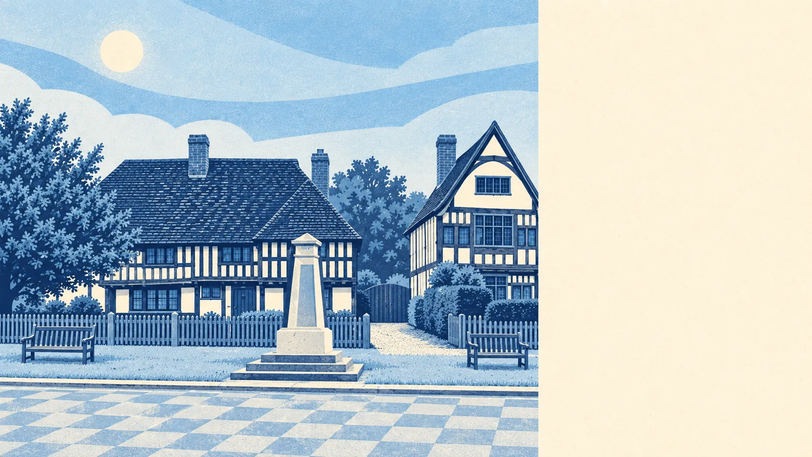
Yes, as long as you ask about the river before the kitchen. Crime runs well under the Maidstone average. Three in four households own their home. There's a London train in the village. The only thing likely to break in is the Beult.
Headcorn's housing is mostly houses, with very little room for anyone who wanted a flat. Across the Headcorn area's council-tax list, about 30% of homes are detached, 24% semi-detached, 17% terraced, 14% bungalows and only 9% flats. About a quarter were built before 1930, so the period cottage is part of the scenery, but it isn't most of the stock. Energy ratings sit in the middle: 56% of certificated homes rate A to C and 18% rate E or worse. Heating is where the viewing checklist needs to go further. Only 54% of homes are on mains gas, and about 7% heat with electricity alone. The estate agent's particulars will call that "oil-fired" or leave it out, and you'll learn which at the first delivery.
Prices lean towards the detached house, because that's what's for sale. The Land Registry recorded 84 sales in the twelve months to April 2026, at a median of £430,000. Detached homes went for a median of about £573,000 across 44 sales, semi-detached for about £408,000 across 20, terraced for £305,000 across 14, and the six flats that changed hands for about £224,000. The flats are cheap because there are so few of them. Council tax follows the same story. The most common band is D, and only about 13% of homes sit in bands A or B, so cheap council tax is about as easy to find here as a cheap flat.
Rent can only be described at council level. The typical private rent across the Maidstone area was about £1,290 a month in April 2026. That figure covers the whole borough, town-centre flats included, so a family house on the edge of a Wealden village will cost more than the borough average suggests. Headcorn's own rental market is small, with about 14% of households renting privately.
Safety is where Headcorn looks best. Police figures for the year to May 2026 put the crime rate at about 69 per 1,000 residents, roughly 26% below the Maidstone borough average of about 94. Anti-social behaviour makes up a larger share of local crime than it does nationally, which is the kind of problem that shows up as noise in a village rather than danger. Kent Police charges offenders at a higher rate than most forces, ranking sixth of 42. The residents who complain loudest about crime in Headcorn usually last lived somewhere with less of it.
Connectivity has one strong asset and a lot of car use. Headcorn Rail Station is in the village, which neighbours in Biddenden and Smarden can't say about their own. Even so, at the 2021 Census about 3% of working residents commuted by train, 47% drove and 40% worked from home, which says more about when the census was taken than about the trains. The buses are thin. The area has 111 bus stops, averaging about 10 weekday departures each, and fewer than half have any weekend service. Broadband is decent: 82% of premises can get superfast and 54% gigabit. Mobile signal from all four operators covers about 98% of the area, so you can at least ring the taxi.
The flood risk needs to be read carefully, and it's the weak spot. Headcorn sits on the floodplain of the River Beult. On the Environment Agency's river-and-sea mapping the zones look modest: about 2% of postcodes are in Flood Zone 3 and about 3% in Flood Zone 2. The wider measure is less reassuring. About 21% of the area's postcodes are high risk on at least one flood indicator, surface water included. The most recent recorded flood was in December 2013, when the main river burst its channel where there were no raised defences. Part of the area also comes under the Upper Medway Internal Drainage Board, which is what living on a floodplain looks like on paper. On the plus side, the nearest green space is about 460 metres away on average and the nearest water about 290 metres. Some buyers find that close water charming until the first wet winter.
Heritage rules will shape what you can do to an older home. The wider Headcorn area has 590 listed buildings, nine of them Grade I and 30 Grade II*, from Headcorn Manor to the Cloth Hall. There is one conservation area and five scheduled monuments nearby. If your house is listed, new windows, a rear extension or a bathroom that moves a wall all go through the council first. Buyers who dream of a Wealden hall house and planned an open-plan kitchen should raise it with the conservation officer before exchange.
Most people here own their home, the median resident is in their late forties, and household incomes are comfortable. About 74% of households own their home. The median age is 47. Median gross household income was about £61,900 in the financial year to March 2023. This is a settled, owner-occupied place with the kind of village life that runs to committees. The main renting crowd you'll find here is the swallows.
Headcorn suits a household that wants a village with its own London station, doesn't mind driving everywhere else, and has the budget for a detached or semi-detached house. Families with primary-age children have Headcorn Primary School in the village. Anyone moving from a town who wants lower crime and fields at the end of the road will find both.
It's a poor fit for anyone who needs cheap housing, a flat, or a bus that runs on Sundays. It's also a poor fit for anyone who won't check a specific address against the flood maps before making an offer. A lovely listed cottage in the wrong low-lying spot is still in the wrong spot, and neither the listing nor the insurer will be sentimental about it.
Headcorn is an average place to live, and that average hides two extremes. Its real strength is safety, with crime well below the rest of the borough. The weak spot is flood risk, because the river beside the village doesn't care what you paid for the house. Buy on higher ground and Headcorn is one of the better commuter villages in the Weald. Buy low and you'll find out how the river behaves every December.