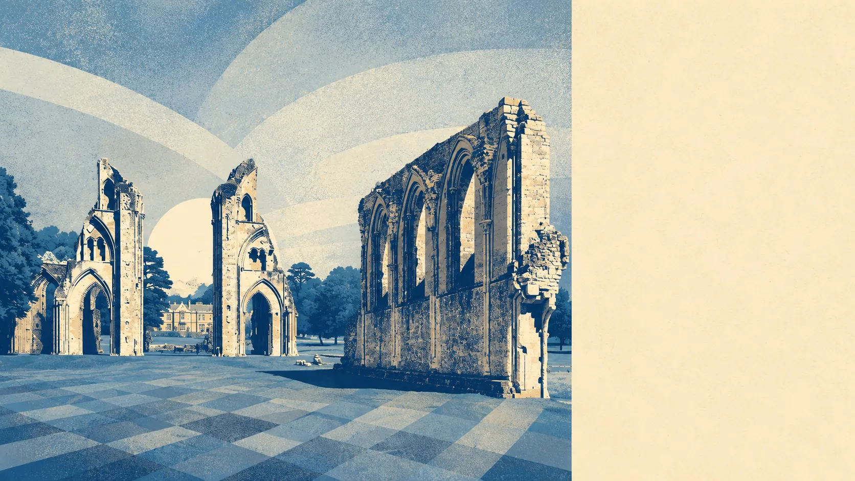
Flat, wet, and considerably better than that makes it sound. The Somerset Levels begin at the edge of town and carry on until the Mendips stop them. Water sits closer to most front doors than the shops do. Green space is effectively unavoidable. This is the part of the Glastonbury offer that requires no belief system whatsoever to enjoy.
Green space access here is close to the best you will find anywhere. The average Glastonbury address sits roughly 160 metres from a green space, with about 18 separate ones within a kilometre. That is not a park at the end of a long walk, it is a landscape that starts in the next street.
Water is even nearer. The average distance to blue space is about 260 metres, with roughly 74 separate water features within a kilometre of a typical address. On the Levels that number is not lakes and beauty spots. It is the rhyne and ditch network that keeps the whole place drained, which means water here is infrastructure first and scenery second, and it is still scenery.
The National Cycle Network runs an average of roughly 175 metres from a Glastonbury address, and about 95% of postcodes sit close to it. Combined with the droves, the green lanes that give access across the moors, that makes this an unusually easy place to get out into the landscape without first getting into a car.
The commercial mix is small-town with a tourism overlay. The area holds 356 shop premises, 25 pubs and 28 restaurants, which is more retail frontage than a town this size would normally support and reflects a high street that sells to visitors as much as to residents.
On air quality, fine particle levels across the Somerset council area measured about 5.5 micrograms per cubic metre in 2024. That is a council-area figure rather than a street-level one.
The character comes from the geography. The town sits on a dry point with the Tor above it, and everything around is permanent grass, willow-lined ditches and peat, worked as farmland and managed as wetland. Ham Wall National Nature Reserve to the west has been built out of old peat diggings into reedbed and open water, with bitterns and bearded tits among the residents. The villages out on the moors, Meare, Westhay, Godney and Baltonsborough among them, are small and scattered along the droves. The heritage out here is odd in the best way: an Iron Age lake village, a linear earthwork, a medieval fish house, and a set of scheduled duck decoys, which is a phrase most counties never get to use.
Private outdoor space is generous. Gardens work out at roughly 120,000 square metres per 1,000 residents, which is the measure that actually matters to a buyer, and it confirms what the housing stock suggests: people here have their own patch as well as everyone else's.
On the business rating list, the area carries 532 rateable premises, including 127 offices and 69 holiday lets. Those are premises on a valuation list rather than businesses currently trading, so the figures describe the building stock rather than the shop windows. The holiday let count is the honest expression of what a large part of the local economy has been doing since the abbey ruins started drawing pilgrims.
Eating out is safer than the town's reputation for improvisation would imply. Of 115 rated food premises, about 84% hold the top hygiene score and none sit at the bottom of the scale.
One honest absence is worth stating. No area of outstanding natural beauty overlaps this area, no site of special scientific interest, and no ancient woodland. The landscape here is a working one, drained, farmed and managed rather than designated, and its appeal comes from that rather than despite it.
The surrounding area is the strongest thing Glastonbury has, and it is not a close contest. Green space near enough to be a daily habit, water in every direction, and a landscape strange enough that people have been writing myths about it for four thousand years.