The land around Faversham is the best reason to live here, and none of it is the postcard version. Green space is a couple of minutes' walk from most front doors. Water is barely further. A national cycle route runs through town. The marshes and the tide sit on one side and farmland on the other, and neither is the kind of view people pay extra to put on a calendar.
The average Faversham home is about 138 metres from public green space, with about 24 green spaces within a kilometre. That is closer than most suburbs manage, and much of this is a town of terraces. For anyone who has to walk a dog in the rain, the difference between 138 metres and a drive to the nearest park is the whole argument.
Water is closer still in most people's heads, and in the figures the average home is about 276 metres from the nearest blue space, with 71 bodies of water within a kilometre. Faversham Creek runs into the Swale, the strip of sea between mainland Kent and the Isle of Sheppey, and the old sailing barges still moor along the creekside. On a clear morning the creek looks like a painting. At low tide it is mud, and locals like it anyway.
The National Cycle Network is on average about 560 metres from home, and about 51% of postcodes are close to it. The route through town heads towards Whitstable one way and Sittingbourne the other, which gives weekend cyclists a coastal ride without the car. To the north the land runs flat into marsh and the South Swale Nature Reserve, which birdwatchers take more seriously than most visitors expect.
In town, the rated-premises data counts 182 shops, 34 pubs and 18 restaurants. That many pubs for a town this size is no accident: Shepherd Neame brews here and has done for centuries, and the pubs are its home ground. Faversham Market still runs in the town centre and has done since before the Norman kings were buried locally.
Fine-particle air pollution across the Swale council area averaged about 7.1 micrograms per cubic metre in 2024. That is a council-area figure, not one measured on any particular street.
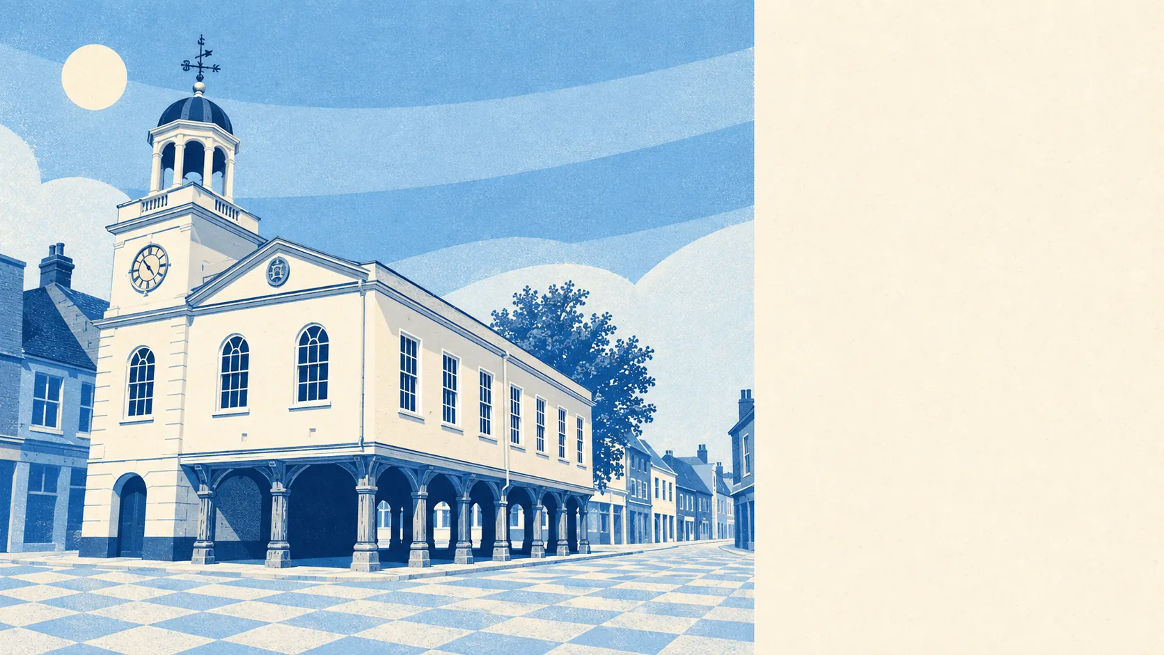
The character comes from the mix of creek, market square and brewery chimneys, with Oare, Luddenham and Graveney as the edge-of-town villages before the fields take over. It is a town that looks outward to the water and back to its own history, and it has not bothered to tidy either up for visitors.
Private gardens add to all that. The area has about 123,000 square metres of garden for every 1,000 residents, which means most people have a patch of their own on top of the public space around them. The terraces may be narrow, but they are long at the back.
The business rates valuation list records 698 rateable premises in the area. That includes the 182 shops, 34 pubs and 18 restaurants above, plus 193 offices and 27 holiday lets. These are premises on the list, not a register of who is trading this week. Offices outnumbering shops tells you that some of the historic high street now works rather than sells.
Of the 147 food businesses that have been rated, about 84% hold the top food hygiene score of five, and about 1% are at the bottom of the scale. Eating out is a low-risk hobby here.
No area of outstanding natural beauty, no site of special scientific interest and no ancient woodland overlaps the area itself. The protected landscapes and nature reserves sit beyond its edges. What Faversham has instead is everyday, working countryside close enough to use daily, which for most residents is more useful.
The surroundings are Faversham's real strength: open space, water and a cycle route close to almost every door, without anyone having to call it scenery.