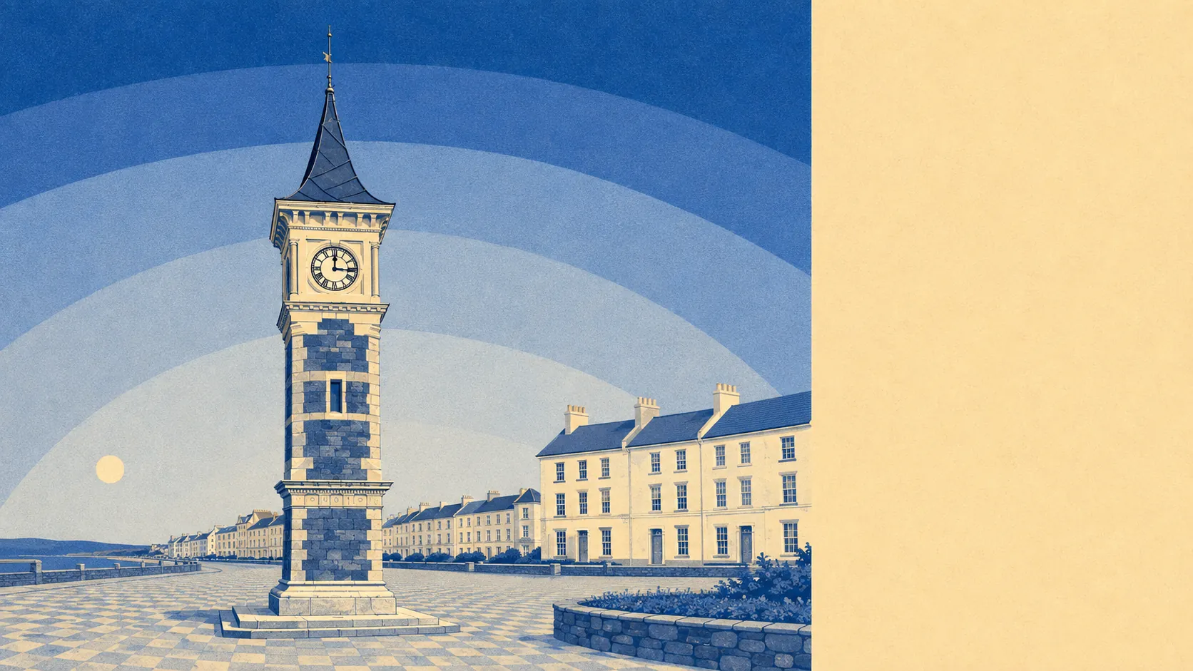
Better than the town, which is a strange thing to be able to say about a town this pleasant. Water on two sides, the estuary one way and open sea the other. Green space roughly 150 metres from the average doorstep. Commons, cliffs and a coast path all within reach of a Saturday morning. Whatever else shows up on Exmouth's file, the surroundings are the part that nothing else competes with.
Green space is not rationed here. The average postcode has around 24 separate green spaces within a kilometre and sits about 155 metres from the nearest one, which is close enough that the dog decides the route. Phear Park, whose grounds were handed to the town after the house that stood in them burned down and was demolished, does the job in the middle. The Maer sits behind the seafront. The High Land of Orcombe, in National Trust hands, closes off the eastern end with cliffs rather than more housing.
Water is closer still. The nearest blue space averages about 310 metres away, and the typical postcode has around 44 of them within a kilometre, which is what happens when a town is built on the corner where a large estuary meets the sea. Orcombe Point marks the western gateway of the Jurassic Coast, with the Geo Needle put up there in 2002 to mark it. In summer a ferry runs across the water to Starcross and Dawlish Warren, which is a more civilised way to reach the far bank than driving around the top of it.
Getting out into it is easy on two wheels. The National Cycle Network averages about 700 metres away and 46% of postcodes sit close to it, helped by the cycleway running alongside the railway towards Exeter and the old Budleigh Salterton trackbed behind Phear Park, now surfaced and running out to Knowle. The South West Coast Path passes through and the East Devon Way starts here and heads inland towards Lyme Regis. No ancient woodland is recorded in the area, so the walking is coast, common and estuary rather than deep forest.
The commercial side is a proper town rather than a parade of gift shops. The rating list carries 1,168 rateable premises in the area, including 320 shops, 104 offices, 31 pubs, 16 restaurants and 103 holiday lets. Those are premises on a valuation list rather than a guarantee of anything trading behind a particular door, but the shape is clear: a high street that serves residents, with a holiday economy alongside it rather than instead of it.
For eating out, 259 premises hold a food hygiene rating, and 73% sit at the top score, with 3% at the bottom end of the scale. That is a reassuring spread for a town where a good chunk of the trade turns up for twelve weeks a year.
Air quality across the council area was measured at 5.2 micrograms of fine particles per cubic metre in 2024. That is a district-wide figure rather than a street-level one.
On formal designations, the East Devon Area of Outstanding Natural Beauty clips about 3% of the area at its edge. There is no site of special scientific interest overlapping the area itself and no ancient woodland. The protection here is thin on paper and thick on the ground, which is an unusual way round and worth knowing before assuming the fields inland are safe forever.
Private outdoor space is generous too, at roughly 114,000 square metres of garden per thousand residents. Even the terraces mostly have something out the back, and the inland estates around Brixington and Withycombe Raleigh have more than something.
This is the part of the answer where Exmouth stops being a decent seaside town and becomes an obvious one to live in. Coast, estuary, commons and gardens, all within a walk, and the villages at Lympstone, Littleham and Exton filling in the gaps.