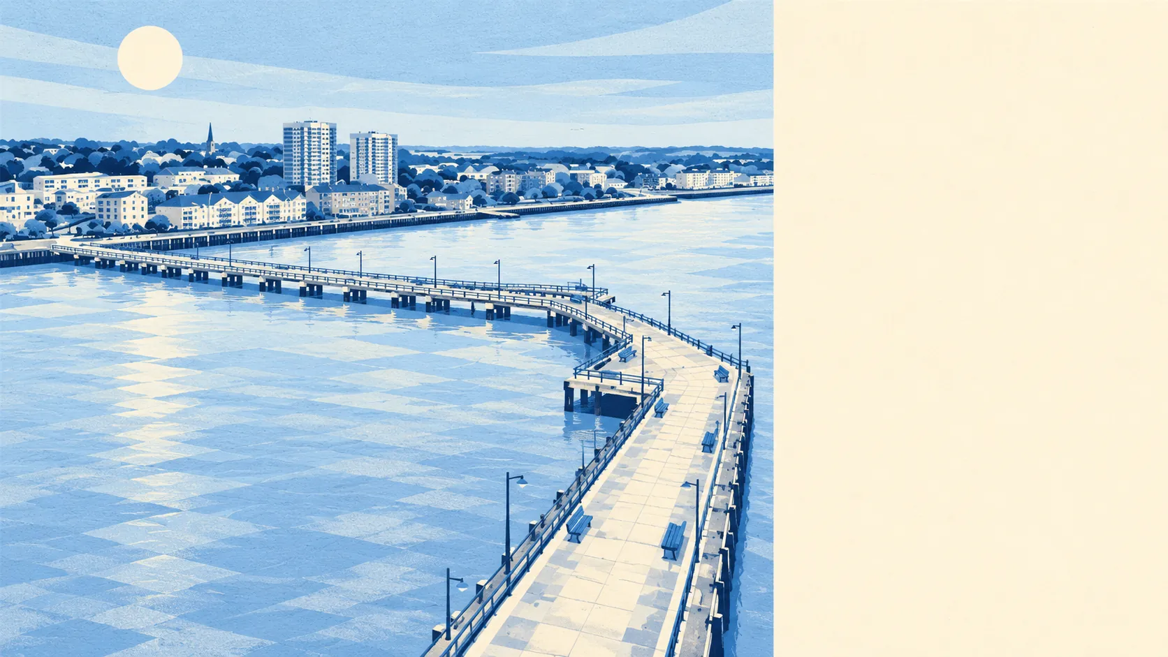
The area around Erith is much greener and has more water than an old engineering town normally gets. There is green space close to almost every front door. The Thames is at the bottom of the hill, with marshes along its edge. The working riverside still has warehouses on it. In Erith the dog gets more than twenty walks and a river to choose from, which is more choice than its owner gets on the high street.
On average, homes here are about 170 metres from the nearest green space, with around 22 green spaces within a kilometre. The Riverside Gardens front the Thames. The Green Chain Walk runs into Erith and joins the Thames Path, so a walk from home can carry on across south-east London with little road in between.
The nearest water is about 680 metres away on average, and around 22 bodies of water lie within a kilometre of home. Most of that is the Thames, along with the channels and ditches of Erith Marshes. The town grew up beside the river, and you can still see it from the top of most roads.
The National Cycle Network is about 670 metres from the average home, and about 48% of postcodes are close to it. That gives a car-free way along the river and out of town.
The town centre is smaller than all that green space. The rated-premises register records 177 shops, 7 pubs, 8 restaurants and 57 offices. Erith's high street covers the everyday basics and little else.
In 2024, fine-particle air pollution across the London Borough of Bexley averaged 8.5 micrograms per cubic metre. That figure covers the whole borough, including Erith's riverside.
Erith is a working town by the water. It has a riverside of flats and industry, terraces and semis climbing towards Northumberland Heath, and Slade Green on the flat ground to the east. The area's old name, Lessness, survives in Lesnes Abbey to the west, and Danson Park in Bexleyheath is a short trip south. On the former quarry site to the west, the Erith Quarry development has added a primary school and a supermarket.
Private gardens add up to about 51,000 square metres per 1,000 residents. That works out at a modest patch each. With about a third of homes being flats, plenty of households have only the nearest park.
The council's business rates list shows what Erith actually does all day. It holds 813 rateable premises, including 176 shops, 127 industrial units, 107 warehouses and 55 offices. That is a list of premises and says nothing about which ones are trading. It still shows that Erith earns its living from storing and making things. If a house backs onto the riverside industrial land, find out what the business behind the fence does and what hours it keeps. A warehouse that is silent during a weekday viewing may load lorries all night.
The Food Standards Agency has rated 173 places that serve food here. About 69% hold the top hygiene score, and about 6% are at the low end.
No area of outstanding natural beauty, site of special scientific interest or ancient woodland overlaps Erith. Its green space is parks, riverside and marsh edge rather than protected countryside, and it is spread across the whole town.
Erith's surroundings are one of its real strengths. Green space and water are a few minutes' walk from almost everywhere, even if the high street is short.