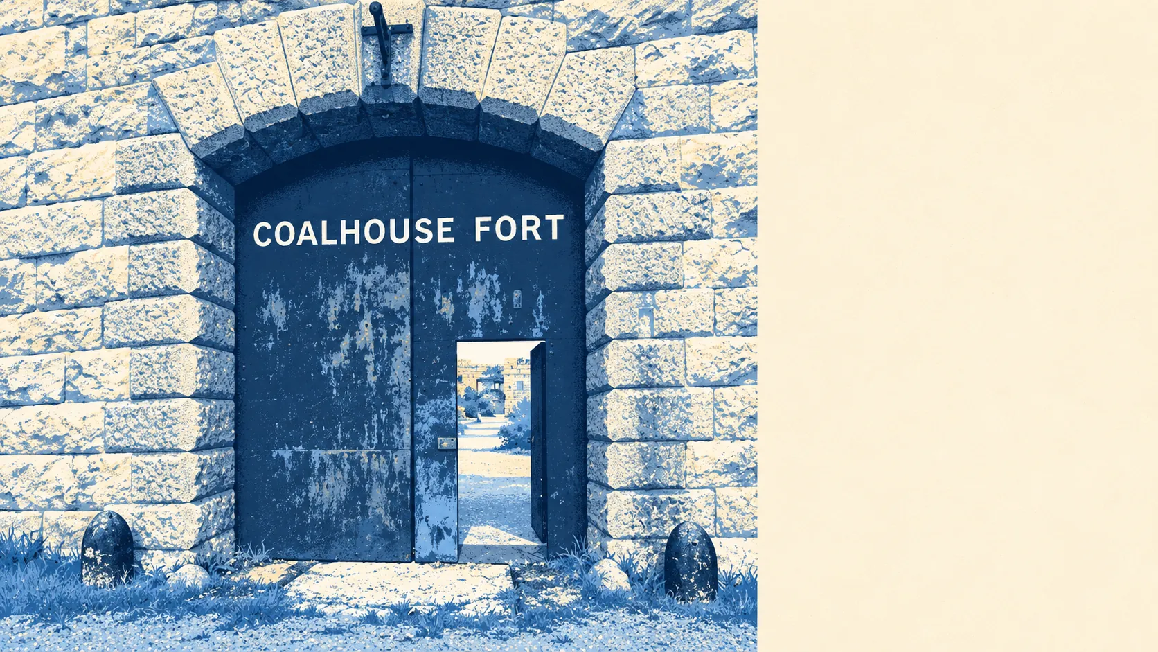
East Tilbury is a small village in a great deal of open space, with more water and green ground than high street. Most front doors are a couple of minutes from a park or field. Water is closer than the shops. The local landmarks are artillery batteries. Dinner out takes a bit more planning than a walk in the evening.
Public green space is close for almost everyone. The average home in East Tilbury is about 120 metres from the nearest site, and has about 12 green spaces within a kilometre. Most children here can be in a field before they have finished asking if they can go.
Water is nearly as close. The average home is about 350 metres from the nearest water, with about 29 bodies of water within a kilometre, from the Thames itself to the ditches and ponds of the marsh around it. For a village whose oldest settlement was found on the foreshore, the river has never been far from the back gate.
Cycling further afield takes a little more effort. The nearest stretch of the National Cycle Network is on average about 2.2 kilometres away, and no postcode in East Tilbury counts as close to it. There is no ancient woodland in the area at all. This is open estuary country, flat and wide, with the sky doing most of the work.
On the rating records for the wider area, there are 319 shops, 11 pubs and nine restaurants. Of the 13 food outlets with a hygiene rating, about 62% hold the top score.
Air quality across Thurrock as a whole, the council area East Tilbury falls in, averaged about 8 micrograms of fine particles per cubic metre in 2024.
The neighbourhood is made of small places and old defences. Linford, Mucking, Low Street, Biggin and Southfields are the neighbours, with Chadwell St Mary a little further off, and East Tilbury, West Tilbury and Orsett each have a conservation area. The scheduled monuments around the village include the Coalhouse Fort battery, the East Tilbury Battery and a Second World War anti-aircraft battery at Bowaters Farm, with Cliffe Fort across the river. The most substantial architecture in the district was built to shoot at ships, and it is still the most interesting thing to walk to.
Private outdoor space is generous. East Tilbury has about 73,000 square metres of garden for every 1,000 residents, the measure that shows how much ground people have of their own once the farmland is set aside. The post-war semis that make up most of the village were built on plots with room behind them, and it shows.
East Tilbury itself has 120 premises on the business rating list. Offices are the largest group, at 57, followed by 14 under warehousing and 14 under industrial codes, with 12 shops. These are premises on the valuation list, some of which may be empty or used for something else, and the list does not say which. A village built around a shoe factory still has more offices than shops, so the high street is somewhere else.
Eating out locally is a small field. Across the 13 food premises with a hygiene rating, about 62% hold the top score of five, and about 8% sit at the low end of the scale.
No protected-landscape designation covers East Tilbury. There is no area of outstanding natural beauty, no site of special scientific interest and no ancient woodland inside it. The open ground here is ordinary farmland, marsh and parkland, which means fewer rules about what can be done with it and fewer people driving in at weekends to look at it.
The surroundings are one of East Tilbury's real strengths: green space and water a short walk from nearly every door, a big estuary sky, and old forts for company.