The countryside around Cranleigh starts about where the driveway ends. A park or field is a short walk from most doors. Ponds and streams are everywhere. A wooded ridge fills the northern view. Nobody here needs a gym membership to get their steps in.
On average, the nearest public green space is about 190 metres from a Cranleigh home, and there are about 16 green spaces within a kilometre. Tired of one field, you try the next. That's walking distance, not a drive to a country park.
Water is just as close. The nearest pond, stream or lake is about 195 metres away on average, with about 46 bodies of water within a kilometre. Cranleigh Waters drains the village towards the River Wey, and the old Wey and Arun Canal to the west is being restored bit by bit. Estate agents who say "near water" are, for once, telling the truth.
The National Cycle Network is about 590 metres from the average home, and about half of Cranleigh's postcodes count as close to it. The old railway line now carries the Downs Link path, which is a very Surrey way of losing a train service and gaining a leisure route.
The high street is about premises rather than footfall. The rated-premises data counts 115 shops, 10 restaurants and 8 pubs in the area. There's enough for a Saturday without the car, but not enough for a night out that ends anywhere surprising. Of the 59 food outlets with a hygiene rating, about 71% hold the top score.
Fine-particle air pollution across the Waverley council area averaged about 6.5 micrograms per cubic metre in 2024. That covers the whole borough, not Cranleigh's own streets.
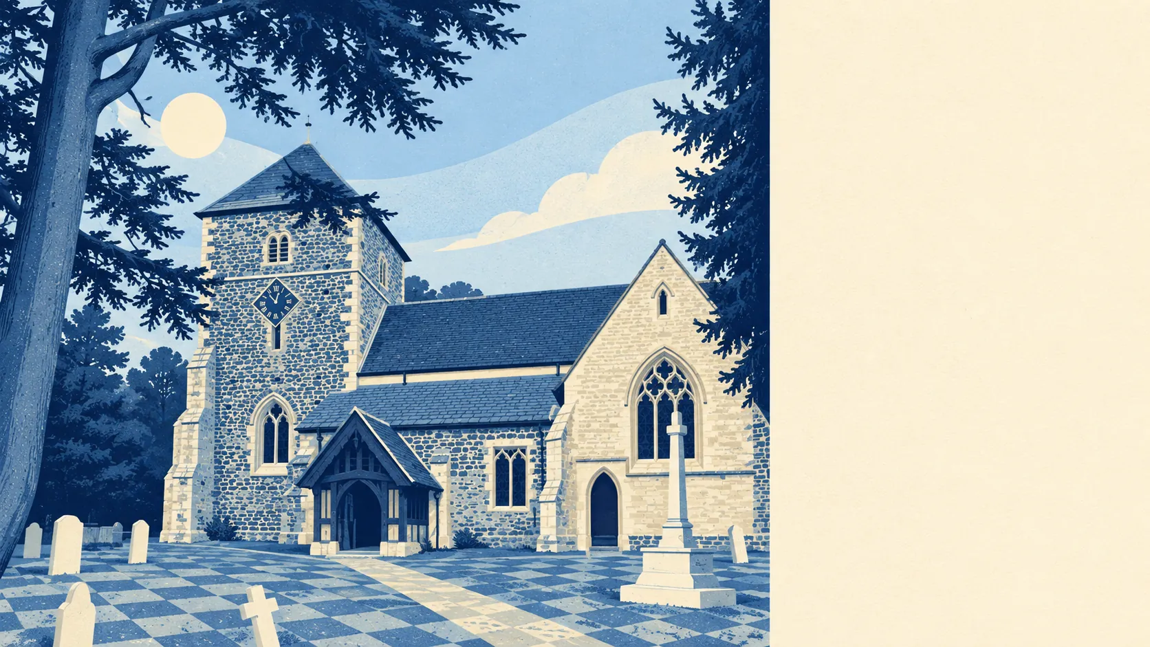
The village sits in the north-west corner of the Weald, with the wooded Greensand Ridge rising behind it to the north. The High Street runs past a cricket field that has been used for cricket since 1843, and a stone drinking fountain from 1874 stands in Fountain Square. Ewhurst, Rowly and Alfold sit around the edges as smaller, quieter versions of the same deal. It's a working village that happens to back onto woodland, rather than a picture-postcard one, and all the better for it.
Private outdoor space is generous. Across Cranleigh's neighbourhoods there are about 253,000 square metres of garden for every 1,000 residents, which is a lot of lawn to mow. Most people here have their own green space before they reach the public kind.
On the business-rates list, the area has 261 rateable premises. The largest group, 93, is in the core shops class, followed by 40 offices and 21 industrial units. Those are premises on the valuation list, not a count of businesses open today, but they describe a village that still does its own trading and some light industry, not one hollowed out into a dormitory.
Eating out is mostly safe. About 71% of the 59 rated food premises have the top hygiene score, and about 9% are at the bottom end. Check the rating on the door before booking.
No area of outstanding natural beauty or site of special scientific interest overlaps Cranleigh, and ancient woodland covers less than 1% of it. The countryside here is ordinary Surrey working land rather than a protected landscape. That means fewer rules about what goes on around you, and no official label telling you how lucky you are.
The surroundings are one of Cranleigh's real strengths: green space, water and woodland within a few minutes of almost every front door.