Yes, if you like Surrey with the handbrake on. Seven in ten households own their home. Half run two cars or more. Hardly anyone commutes by train, because the train left decades ago. Nobody moved here waiting for the next big thing; they moved here to avoid it.
The housing is detached first and everything else second. Of every home on the council-tax list, about 37% are detached, 23% semi-detached, 13% terraced, 17% flats and 10% bungalows. Only about 16% were built before 1930, so for all the old-village branding, this is mostly post-war Surrey: houses bought for the garden, then extended until the garden gave up. On the energy certificates, about 59% of rated homes sit in bands A to C, 31% in D and 10% in E or worse. About 82% of homes heat with mains gas, so the gas bill is the running cost most owners know by heart.
The Land Registry recorded 127 sales in the year to May 2026, at a median of about £595,000. The 65 detached houses sold for a median of about £705,000, the 39 semis about £512,000, the 12 terraces about £405,000 and the 11 flats about £230,000. That flat price is the cheapest way into the village, if one ever comes up. Band D is the most common council-tax band, only about 5% of homes are in bands A or B, and a band D bill here runs to about £2,605 a year. Estate agents will describe the £705,000 detached house as a rare opportunity. Here it's the default.
Renting is the minority option, with about a quarter of households doing it. The typical private rent across the Waverley area was about £1,440 a month in April 2026, down about 3% on a year earlier. That covers the whole local authority, not Cranleigh on its own. Across Waverley the typical one-bed is about £1,040 a month and a three-bed about £1,610.
Police.uk records about 44 crimes per 1,000 people for Cranleigh in the year to May 2026, about 4% below the Waverley average. Violence and sexual offences make up about 40% of that total, against 35% nationally. That category is broad, includes common assault without injury, and is the biggest one almost everywhere. Surrey Police charged about 11% of the offences it closed over the same period, against about 12% nationally. For most residents the likelier disturbance is a planning notice on a lamppost: 244 applications went in over the twelve months to June 2026.
The schools are a strong reason people come. The three primaries in the district averaged about 103 in the end-of-primary maths tests, and the one secondary, Glebelands School, averaged an Attainment 8 score of about 53. Named primaries include Cranleigh Church of England Primary School, Park Mead Primary and St Cuthbert Mayne Catholic Primary School. Across Surrey, Ofsted has graded 147 of 159 inspected settings good or better, 30 of them outstanding. Cranleigh School, the independent boarding school, opened in 1865 as the Surrey County School, and it is where the fees are. Modelled walking times put the nearest primary at about 14 minutes and the nearest secondary at about 25.
The railway is the story here. The station opened as "Cranley" and was renamed in 1867 because letters kept going to Crawley. Beeching closed the line in 1965, and part of the trackbed is now the Downs Link, which is lovely on a bike and no use if you're due in Guildford by nine. At the 2021 census about 1% of workers commuted by train, 46% drove and about 38% worked from home. There are 48 bus stops, averaging about 26 weekday departures each and one or two an hour at peak, and about 77% have a weekend service. Gigabit broadband reaches about 78% of premises and superfast about 98%, so home-working is well served. All four mobile networks cover about 97% of the area. The village opened the country's first cottage hospital in 1859, and that hospital lost its in-patient beds in 2006. The nearest hospital bed is now about 32 minutes by car, or about 66 by public transport, in the Department for Transport's 2019 modelling.
Flooding needs a straight look. About 28% of Cranleigh's postcodes are at high risk on at least one flood indicator, surface water included, and about 21% at medium. The Environment Agency's river-and-sea flood zones cover less: about 6% of postcodes in Zone 3, the highest-risk zone, and 3% in Zone 2. Cranleigh Waters drains the village, and the recorded flood on file is from 1968, when the main river overtopped its channel. Check the exact address, not the village average. The green space is better news. The nearest green space is about 190 metres away on average, with about 16 within a kilometre, and Winterfold Forest sits on the Greensand Ridge to the north. Radon is in the lowest band.
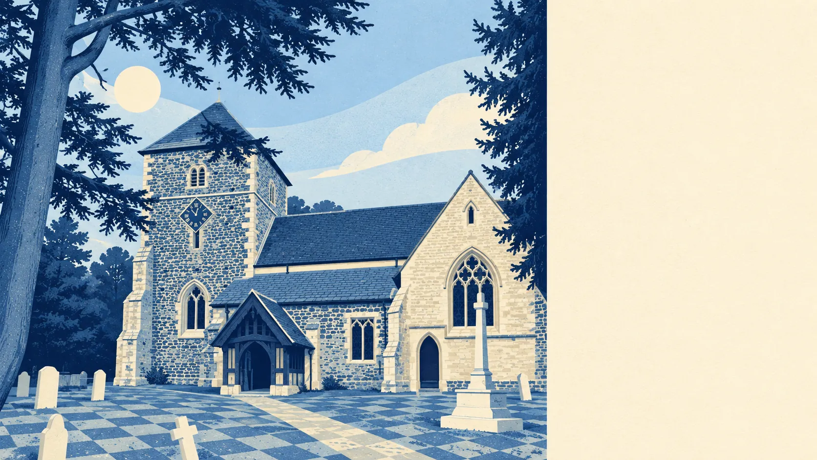
Heritage rules are real but limited. There are 44 listed buildings: 43 at Grade II, one at Grade II* and none at Grade I. One conservation area covers the centre. Listed-building consent applies to those 44, and inside the conservation area the exterior of an unlisted house gets more scrutiny. Everywhere else, the post-war stock leaves plenty of room for an extension. The Church of St Nicolas has a gargoyle said to have given Lewis Carroll the Cheshire Cat, which makes it the most famous grin in the village.
About 71% of households own their home, the typical resident is 46, and the Office for National Statistics models median gross household income at about £73,000 for the financial year to March 2023. The neighbourhoods average the ninth of ten deprivation deciles, where the tenth is the least deprived. About 87% of residents report good or very good health, and unemployment is about 2%. It's comfortable, settled and not in a hurry, and it has no plans to become anything else.
This page also covers Rowly, a small cluster north of the village with three listed buildings, and Alfold, a dispersed Green Belt village on the West Sussex border with its own pubs and a set of stocks. Neither is a cheaper back door into Cranleigh; they are quieter versions of the same deal.
Cranleigh suits families who want the schools and a detached house with a proper garden, and home-workers whose broadband matters more than their commute. It suits people who already own two cars and see no problem in that.
It doesn't suit anyone who needs a train into London every morning, or anyone planning to rent cheaply for long. It is also wrong for buyers who fall for a house by the water without checking the flood map for that address.
The village has always had interesting neighbours. The mathematician G. H. Hardy was born and raised here. In the early 1920s a group of artists lived in the village, among them Joseph Longhurst, Lawson Wood and W. Heath Robinson, the man who drew absurd contraptions for simple jobs. That would come in handy today for getting from Cranleigh to Guildford by rail. Winterfold House, up on the ridge, trained Special Operations Executive agents in the war, Violette Szabo among them, and was searched after the Great Train Robbery. Nothing was found.
Cranleigh is a good place to live, somewhat better than average, and it knows it. Its real strength is the local community: settled, healthy, well-off and near the top of England's deprivation rankings for all the right reasons. The weak spot is flood risk, which is patchy, address-specific and easy to ignore until the insurance quote arrives. Pick the house carefully and the rest of Cranleigh looks after itself.