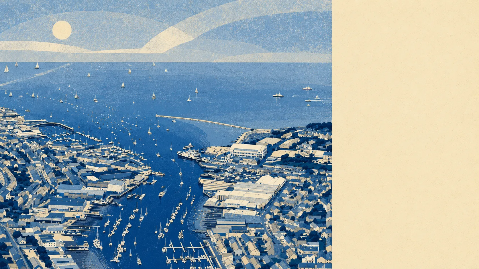
Green, wet, and generous with both. Parkland sits at the end of most streets and water at the end of the rest. Woodland copses and single-track lanes start about five minutes inland. The island's coastal path begins here, which means the walk out of town is the walk people come to the island to do. Cowes is a town where the best thing about it is what happens when you leave it.
Green space is the headline. The typical Cowes postcode has about 18 green sites within a kilometre, and the nearest one averages about 170 metres away, which is close enough that most people reach it without crossing a main road. Northwood Park is the civic centrepiece, the grounds of Northwood House having been handed to the town under trust in 1929, and it does the work a proper park does: dog walkers all week, everyone else when the weather allows.
Water is closer still in practical terms. Blue space averages about 400 metres from a Cowes postcode, with roughly 46 access points within a kilometre. That is the Medina estuary on one side, the Solent along the front, and Gurnard Bay round the corner to the west. Living somewhere with 46 ways to reach water within a kilometre changes what a Sunday looks like.
For getting further out, the National Cycle Network runs an average of about 850 metres from a Cowes postcode, and roughly 34% of postcodes sit close to it. The old railway trackbed south of Arctic Road, abandoned when the Newport line closed in 1966, is now maintained as a cycle path, which is one of the better outcomes available to a dead railway.
The town that anchors all this is small but properly stocked. The valuation list carries 145 shop premises, 13 pubs and 13 restaurants across the area. That is a working high street with specialist sailing shops in among the ordinary ones, not a parade of estate agents and charity shops.
Air quality is good in the way island air quality tends to be. Fine particle levels for the Isle of Wight council area averaged about 5.6 micrograms per cubic metre in 2024.
The surroundings are villages rather than suburbs. Gurnard sits two miles west along the bay with its own sailing club, Northwood immediately south, and beyond them Rew Street, Porchfield, Locksgreen, Thorness and Whippingham thin out into farmland and copses. East Cowes faces the town across the Medina, reached by the chain ferry rather than a bridge, with Osborne and its parkland beyond. Leaving Cowes by car means dropping into single-carriageway lanes within minutes, which is the part of the island the ferry queue never sees.
Private outdoor space is the number nobody publishes and everybody wants. Cowes carries about 132,000 square metres of private garden per 1,000 residents, and roughly 32% of the area's total land is garden. Those post-war plots are doing something the terraced south-coast mainland cannot match.
On the business register, the area holds 846 rateable premises in total, including those 145 shops, 138 office premises and 91 holiday lets. Those are premises on the valuation list rather than businesses currently trading, so treat the count as the shape of the town rather than a directory. The holiday-let figure is the one that tells you what August does to the place.
For eating out, 127 premises hold a food hygiene rating, about 69% of them at the top score and about 4% at the bottom of the scale. That is a decent town average and worth a thirty-second check before booking anywhere.
One honest absence: no area of outstanding natural beauty, no site of special scientific interest and no ancient woodland falls within the area. The island carries its protected landscapes elsewhere. What Cowes has instead is working countryside, town parkland and a great deal of coastline, none of it designated and all of it open.
What surrounds Cowes is the strongest thing about living here. Estuary on one side, Solent on the other, farmland behind, and a coastal path that starts at the end of the road.