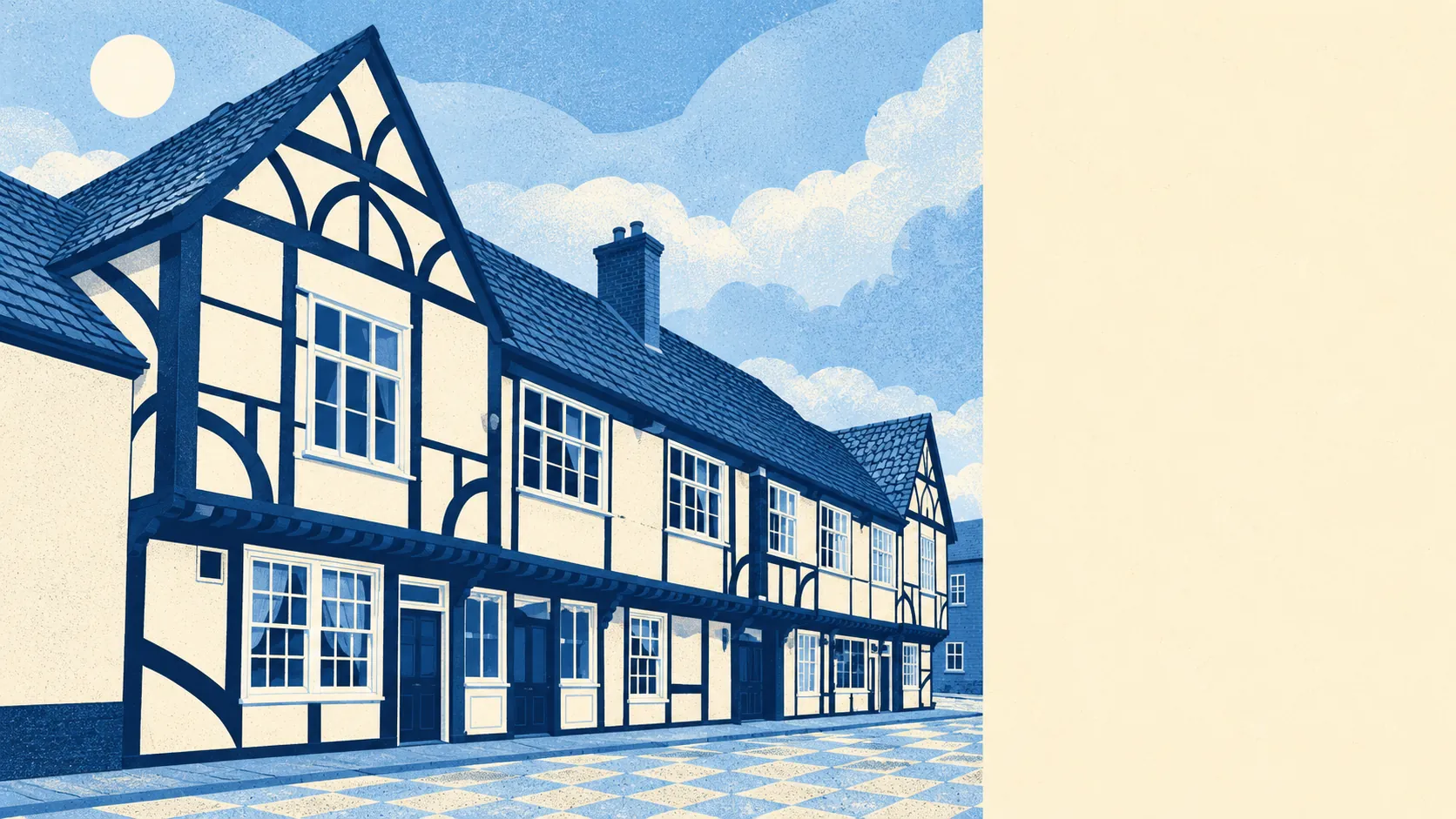
The area around Colnbrook is greener and wetter than its spot beside Heathrow suggests. A park is a few minutes' walk from most homes. Water is closer still. A national cycle route runs past almost every front door. Over the fence is an airport, and on this side are rivers, meadows and a decent amount of garden.
Homes in Colnbrook are on average about 200 metres from the nearest public green space, with about five green spaces within a kilometre. Ditton Park is the registered park on the list of places nearby, and the small settlements around the village, Horton, Wraysbury and Brands Hill among them, keep the gaps between built-up areas open.
Water is the closest thing to every house. The average home is about 100 metres from a stretch of river, stream or lake, and there are about 69 such water features within a kilometre. Colnbrook straddles the Colne Brook and the Wraysbury River, and the Colne's regional park and walk run through the area. A village named after its brook is surrounded by the stuff.
Getting out into it is easy on two wheels. The National Cycle Network is about 85 metres from the average home, and every postcode in Colnbrook is close to a route. There is no ancient woodland here.
Across the wider postcode district, the business rating list counts 156 shops, 16 pubs, eight restaurants and 179 offices. The offices outnumber everything else, which is what a district sharing a fence with Heathrow looks like on paper. Sixteen pubs means the district still drinks like the stopping place on the Bath road it used to be.
Slough's council area recorded fine-particle pollution of about 8 micrograms per cubic metre in 2024, a figure for the whole borough.
The character is two places stitched together. The old village around the high street has the listed buildings and the conservation area, while Poyle next door carries the industrial estates, and Langley, Harmondsworth and Wraysbury surround the lot. The early medieval and medieval palace site at Kingsbury and the cropmark ditches at Thorney are scheduled monuments on the area's wider list. Colnbrook is a working village with a long memory and a lot of logistics on its doorstep.
Private gardens are generous. Across the four neighbourhoods measured, there are about 101,000 square metres of garden for every 1,000 residents. Plenty of homes here have their own patch of outdoor space, flats aside.
Colnbrook's own rating list holds 36 premises, led by eight shops and six offices, with the rest a mix of industrial, warehouse, club and other premises. These are premises on the valuation list, and a listed shop may or may not be trading on any given day.
Eating out runs on a small base. Of 11 food premises with a hygiene rating, 46% hold the top score of five and 18% sit at the low end. With so few premises, one inspection either way moves those percentages a long way.
None of the countryside here carries a protected-landscape label. There is no area of outstanding natural beauty, no site of special scientific interest and no ancient woodland overlapping Colnbrook. The green here is park, river meadow and towpath, open for everyday use and free of the rules that come with a designation.
The surroundings are one of Colnbrook's real strengths: rivers, parks and cycle routes a few minutes from almost every home, with the runways kept on the other side of the fence.