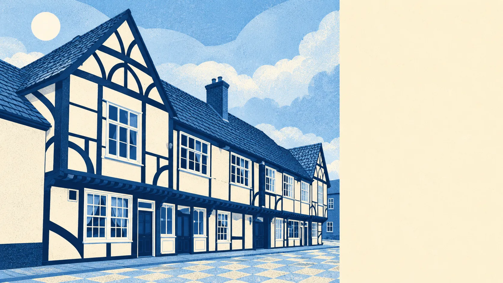
Colnbrook is a perfectly decent village with a motorway for a moat. More than half the households rent. Every postcode is within earshot of heavy road noise. A flat costs about £200,000 and a terrace nearly twice that. It works well for the buyer who wants Heathrow-side convenience at a middling price, and it was never going to be chocolate-box Berkshire.
The housing is more modern than the high street suggests. The council-tax valuation list covers every home in Colnbrook, and on it about a third are flats, 27% terraced, 22% semi-detached, 9% detached and 8% bungalows. Only 10% were built before 1930. The energy certificates put the commonest build period in the late twentieth century, so the coaching inns are a thin, photogenic slice of a much newer village. Half of the 583 certificated homes rate C or better, 41% are band D and 9% are E or worse. Mains gas heats 71% of homes. Another 15% run on electricity alone, so ask how a flat is heated at the first viewing.
The Land Registry recorded 17 sales in Colnbrook in the year to January 2026, at a median of £294,000. That median is a coin toss between two markets: seven flats sold at a median of £196,000 and nine terraced houses at £377,000. Band C is the commonest council-tax band, with 15% of homes in bands A or B, and a band D bill comes to about £2,410 a year.
Slough council's area had typical private rents of about £1,570 a month in April 2026, up 3% on the year, and that borough-wide average stretches across everything from town-centre flats to family houses. In Colnbrook itself, 34% of households rent privately and 22% from a social landlord. For a village that spent centuries putting up travellers in its inns, housing people who don't own the place is an old habit.
Thames Valley Police recorded about 120 crimes per 1,000 people across Colnbrook's neighbourhoods in the year to May 2026, about 11% above the Slough average of 108. Vehicle crime makes up 9% of the local total against 5% nationally, and criminal damage and arson 11% against 7%. Anti-social behaviour is lower, at 10% against 16% nationally. Across the whole force, 9% of crimes ended in a charge over the same year against 12% nationally, which puts Thames Valley 37th of 42 forces. Colnbrook's crime leans towards cars and property, and away from neighbours shouting at each other.
Colnbrook Church of England Primary School is the village primary, and the Department for Transport's 2019 model puts the walk to the nearest primary at about 11 minutes. The three primaries in the local postcode districts averaged a key stage 2 maths score of 104, and the one secondary scored 46 on Attainment 8. Ofsted has graded 17 of 18 inspected settings across Slough good or better, six of them outstanding, a borough-wide count. Secondary school is a bigger trip: about 50 minutes on foot, 30 by public transport and 13 by car on the same modelled figures. Langley Grammar School, Upton Court Grammar School and St Bernard's Catholic Grammar School are all on the list of nearby secondaries. Three names with "grammar" in them tell local families roughly how the secondary conversation goes.
The railway station closed in 1965 under the Beeching cuts, and the village has driven ever since. At the last census 52% of working residents drove, 26% worked from home and 1% took the train. The buses are better than that suggests. Colnbrook's six stops each average 228 departures on a weekday and about 13 an hour at peak, all of them running at weekends, and the 81 goes to Hounslow. Rail means a trip to Langley (Berks), Iver or Heathrow Terminal 5. On the 2019 modelled times Slough town centre is 16 minutes by car and 33 by public transport. Superfast broadband reaches 97% of premises, but gigabit only 58%. All four mobile operators cover the whole area.
Colnbrook straddles the Colne Brook and the Wraysbury River, and the two meet just south-east of the village. On the Environment Agency's river-and-sea flood zones, about 10% of postcodes fall in zone 3, a similar share in zone 2, and 23% in the zone that allows for climate change. On the wider postcode indicators, which include surface water, 10% of postcodes carry a high risk on at least one and 8% a medium risk. Thirteen flood events have been recorded locally, most recently in February 2021. Put the exact address into the Environment Agency's long-term flood risk service early on. The rivers that made Colnbrook a pleasant stop on the Bath road are the same ones that put it on the flood map. The water also makes the surroundings good: the nearest green space is about 200 metres away on average, with five within a kilometre, open water is about 100 metres off and a national cycle route about 85 metres. Every postcode, though, is near road noise of 65 decibels or more.
Colnbrook and its immediate surroundings have 30 listed buildings, two grade II* and 28 grade II, including The Ostrich public house and King John's Hunting Lodge. The old village is a conservation area, so new windows, extensions and materials get a closer look from the council there. Outside it, the late-twentieth-century stock carries the usual permitted development rights. Princess Elizabeth spent a night at The George in 1555, and the planners have looked after the street ever since.
The census puts Colnbrook's population at 2,745 in 1,099 households. Only 42% of households own their home, and the median age is 37, which makes this a younger, working village. The Office for National Statistics models gross household income at about £65,000 for the year to March 2023, averaged across the wider surrounding area. Richard Cox grafted the first Cox's Orange Pippin at his orchard here in 1825, and the apple has travelled further than most residents' commutes since.
Colnbrook suits a buyer who drives, works around Heathrow or the business parks, and wants a terrace or a first flat inside the conservation village's orbit at a price Windsor would laugh at. Commuters who split their week with home working will find the buses frequent and the motorways close. So will anyone who wants water and footpaths within a few minutes of the door.
It suits light sleepers less well, and anyone who needs a station within walking distance or full-fibre broadband as standard. Buyers with a house on the river side of the village should budget time for flood checks and insurance quotes.
Colnbrook is an average place to live with one clear upside and one clear catch. The surroundings are its strength: rivers, green space and cycle routes within a couple of hundred metres of most homes. Flood risk is the weak spot, and the same two rivers cause it. Buy here for the water and the motorway access, and accept that both come with their own noise.