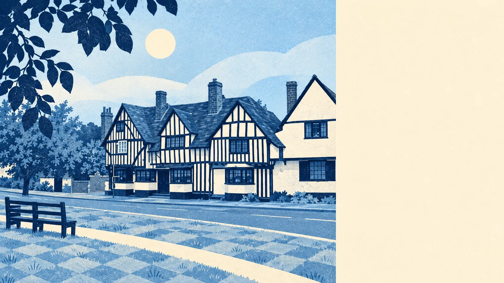
Codicote is surrounded by open Hertfordshire countryside, with a river valley at the bottom of the hill. Green space is a few minutes' walk from most front doors. Water is only a little further. The gardens are big. Nobody has put a protective label on any of it, and the countryside looks good without one.
Green space is close and there is plenty of it. The typical home in the area is about 300 metres from the nearest green space and has about nine sites within a kilometre. With nine bits of green within a kilometre, you can pick a different walk every day of the week and still have two spare.
Water is nearly as close. The nearest blue space is about 450 metres from the average home, with about five within a kilometre. The Mimram is the main one, running through Codicote Bottom to the south-west. It once turned Codicote Mill and Fulling Mill, and these days it mostly gets walked past on Sundays.
Getting further out takes a bit more effort. The National Cycle Network is about 1.8 kilometres from the average home, and only about 36% of postcodes count as close to it. For most households, a family bike ride starts with loading the bikes onto the car roof.
The wider postcode districts that include Codicote cover far more than the village, and on their rated-premises count they hold 466 shops, 77 pubs and 23 restaurants. Those districts reach well beyond the parish, so very few of those premises are within walking distance. In Codicote itself the choice is smaller.
North Hertfordshire's average level of fine particles in the air was about 7 micrograms per cubic metre in 2024.
The area is made up of small places, each with its own name. Beyond the village are the hamlets of Nup End and Rabley Heath, the rising ground at Abbotshay across the river, and Kimpton a few fields to the west. Ayot St Lawrence, home of Shaw's Corner, is close by. So are the historic parks and gardens at Knebworth, St Paul's Walden Bury and The Hoo in Kimpton. Plenty of villages have one country house nearby. Codicote has several within easy reach.
The private gardens are large. Across the three small census areas that make up Codicote, there are about 204,000 square metres of garden for every 1,000 residents. That puts private outdoor space in a different league from any town, so a lot of your green space here comes with a fence round it.
On the business rates list, the Codicote area has 107 rateable premises. The largest group, 28, falls in an industrial category, followed by 13 offices and 12 shops, with workshops and smaller categories making up the rest. These are premises on the valuation list, which says nothing about whether a business is trading in each one today. A dozen shop premises is about right for a village that does its weekly shop by car.
For eating out, 20 food premises in the area have a hygiene rating, and about 65% of them hold the top score. About 10% sit at the low end. With only 20 premises, two or three inspections either way can move those shares by a lot.
No national landscape designation covers the area. There is no area of outstanding natural beauty, no site of special scientific interest and no ancient woodland. That leaves ordinary working Hertfordshire countryside with nobody fencing it off for preservation, and the walking is just as good without the designation.
Codicote's surroundings are one of its strong points, with green space, water and big gardens all close to home. Anyone who wants cafés and nightlife within walking distance should look at a town.