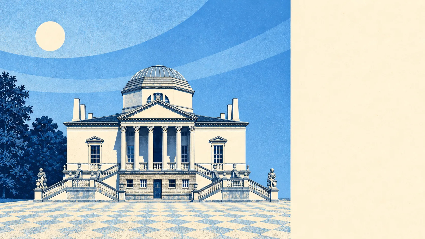
Chiswick gives you a lovely front door and very little say over what goes on behind it. More than 500 listed buildings and 29 conservation areas crowd in and around the district, so a loft conversion or a deeper kitchen starts life as a planning conversation and only sometimes turns into building work. A buyer here is paying for the house as it stands today. The parks and the river make up a good part of that, though nowhere near all of it.
The heritage count is what defines the place. Historic England lists 526 buildings in and around Chiswick: 19 at Grade I, 24 at Grade II* and 483 at Grade II, with 12 on its Heritage at Risk register. Chiswick House and Hogarth's House are the famous ones. The constraint that touches ordinary buyers is the conservation areas, which cover Bedford Park, Turnham Green, the Glebe Estate and the stretch along Chiswick High Road. Bedford Park was begun in 1875 as the first garden suburb, and its red-brick gables are protected as carefully as anything in the grounds of Chiswick House. Between Sutton Court Road and Duke's Avenue, some back gardens still hold pear trees planted by the Royal Horticultural Society when the land was its fruit collection. In Chiswick, even the fruit counts as a previous occupant.
The Land Registry recorded 414 sales in the year to mid-May 2026, at a typical price of £850,000. That one figure covers very different homes. Flats went for about £515,000, terraced houses for about £1,240,000, semis for about £1,850,000, and the 11 detached sales came in at a typical £2,650,000. On council tax the most common band is D, and only about 4% of homes fall into the two cheapest bands, so the bottom of the bill is as hard to find as the bottom of the market.
For renters, the Office for National Statistics puts the typical private rent across the Hounslow area at about £1,920 a month as of April 2026. That is a mean for the whole borough, and the borough stretches a long way west of the High Road.
The council-tax valuation list covers every home, and about 60% of Chiswick's homes on it are flats. Terraced houses make up 27%, semis 10% and detached houses 2%. Most of the stock is old: 57% was built before 1930. The energy certificates match that age, with 47% rated A to C and about 13% rated E or worse. About 75% of homes heat on mains gas and around 10% rely on electric heating alone. Period cornicing and a draughty sash usually come as a pair.
Flooding needs two different measures, and they should not be confused. Of the district's postcodes, about 23% carry a high rating on at least one flood indicator, surface water included. The Environment Agency's river-and-sea mapping puts 67% of Chiswick inside Flood Zone 3, its highest band, with about 4% in Zone 2. That zone describes the land as if the Thames defences were not there, and they are. The agency's records hold one flood event, in January 1928, when water overtopped the defences on the main river. A single entry from the 1920s says the defences have held well since. It says nothing about the decades ahead.
Getting around is easy. The District line runs through the north of the district, Gunnersbury and South Acton have Overground stations, and Chiswick station runs South Western Railway trains to Waterloo. There are 201 bus stops, averaging about 330 departures each on a weekday and around 17 buses in the peak hour, and every one of them has a weekend service. About 86% of premises can get gigabit broadband. At the 2021 census about 59% of working residents worked from home, 12% drove and around 2% took the train, and about 38% of households had no car at all. The M4 starts at the edge of Chiswick, so the 12% who drive have a short run to the motorway.
The Metropolitan Police recorded a crime rate of about 104 per 1,000 residents in the year from June 2025 to May 2026, roughly 11% below the Hounslow average. The mix has one oddity. Vehicle crime accounts for 17% of recorded crime here, against 5% across England and Wales. In Chiswick, whatever gets stolen is usually parked.
About 52% of households own their home, the typical resident is 40, and modelled household income averaged around £87,700 gross in the financial year to March 2023. Roughly 64% of adults hold a degree. Every Sunday there is a farmers' market by Grove Park Farm House at Duke's Meadows, and on that income it does steady trade.
The district has always drawn people with a choice in the matter. Oliver Cromwell's daughter Mary lived at Sutton Manor in Little Sutton from 1676 until her death in 1713, and Hogarth, Zoffany and Pissarro are among the painters on its list of notable residents. Thornycroft built the first naval destroyer at Church Wharf in 1893, then moved the yard to Southampton because the warships had outgrown it. Plenty of families with a three-bedroom terrace off the High Road have since come to the same conclusion about their house.
The outdoors is where Chiswick earns its keep. The average front door is roughly 140 metres from green space, with dozens of parks and gardens within a kilometre, and water is typically under 500 metres away. That means the grounds of Chiswick House, Turnham Green, Acton Green common and Gunnersbury Park, then Duke's Meadows and the towpath at Strand on the Green. Rowing crews use the river at all hours, and the Boat Race finishes just downstream of Chiswick Bridge. Most residents are a short walk from a riverbank they never have to maintain.
Chiswick works for people who want the river and the parks, a District line station within reach, and a house they are happy to keep largely as they found it. Anyone planning to add a storey, knock through a listed wall or buy cheap and build the value in should look elsewhere, because the 29 conservation areas do not move for anyone's plans. What you see at the viewing is close to what you will live with for years. That makes Chiswick a middling deal overall, with first-rate surroundings and some of the tightest rules in London on what you can change.