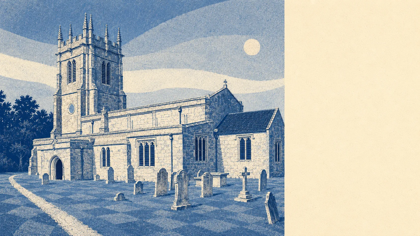
Very good, and it is the reason most people are here. Roughly a third of the area sits inside a protected national landscape. Green space starts a few hundred metres from the average doorstep. Water is closer still, because the village is arranged along a chalk stream rather than beside one. The surroundings are not a feature of living here. They are the point.
On green space, the average postcode in the area sits about 340 metres from a public green site, with roughly 5 separate sites within a kilometre. That is walking distance in the literal sense rather than the estate agent sense, and the sites are distinct places rather than one large park counted repeatedly.
Water is nearer than the grass. The average distance to blue space runs to about 390 metres, and there are roughly 20 separate water features within a kilometre of a typical postcode. In a chalk valley that means streams, channels and the river itself rather than anything you would launch a boat on, but it does mean the sound of moving water is a normal part of the local acoustics.
For getting further out, the National Cycle Network sits about 970 metres from the average postcode, and roughly 50% of postcodes count as close to it. Ancient woodland covers about 1% of the area, which is a small share in absolute terms and a meaningful one for anyone who wants trees older than the houses.
The premises data across the wider area covers 447 shops, 55 pubs and 28 restaurants, which is a mix weighted toward daily errands and the pub rather than toward dining out. A village this size does not carry that on its own; the count reflects Dorchester sitting just south and doing the retail work for the whole valley.
Air quality is measured at council level rather than village level, and fine particle concentrations across the Dorset area averaged about 5.5 micrograms per cubic metre in 2024.
Around 35% of the area falls inside the Dorset National Landscape, the designation that used to be called an area of outstanding natural beauty. That designation is why the views hold their shape over decades: it constrains what can be built and where, which is excellent news for the walk and less excellent news for anyone hoping their own plot might one day be worth more as building land.
The character comes from what surrounds the village rather than what sits in it. Maiden Castle to the south, the Hardy Monument out on the downs to the west, Kingston Maurward's registered gardens to the east, and a landscape so thoroughly populated with round barrows and long barrows that the prehistoric dead are the largest settlement for miles. Charlton Down and Stinsford sit within easy reach, Borough Gardens provides the formal municipal green in Dorchester, and Poundbury is a few minutes south for anyone who wants their countryside supplied with kerbs and a pavement.
Private outdoor space is where rural places quietly beat urban ones, and this is no exception. The area holds around 285,000 square metres of private garden per thousand residents. Whatever the house looks like from the lane, the back of it comes with land.
The valuation list records 158 rateable premises across the area, with the largest single category running to 53 of them, alongside 387 office premises and 250 holiday lets in the wider footprint. Those are premises on a list rather than businesses currently trading, and the holiday let count is the number that tells you what part of the local economy depends on people visiting rather than staying.
Eating out is a short list with a clean record. All 25 rated food premises in the area hold the top food hygiene score, and none sits at the bottom of the scale.
The surroundings are the strongest thing Charminster has, comfortably. Protected landscape, water at the end of the lane, gardens with actual land in them, and prehistory in every field: this is countryside that will still look like this when the mortgage is paid off.