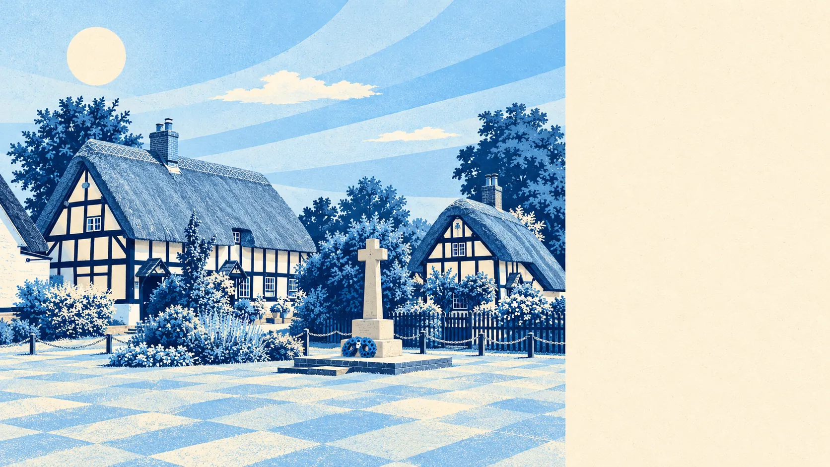
Chalgrove gives a settled, comfortable life to anyone who owns a car and likes a field at the end of the road. Most people own their house, there is green space a short stroll from almost every door, and the broadband is better than the buses. The catch is water, which reaches further into the village than the river maps let on.
Around 80% of households own their home. The typical resident is 47, and household income averages about £73,000 a year before tax. The Office for National Statistics models that income figure across the wider surrounding area for the financial year to March 2023, so it describes the district around the village more than any single close. That is the profile of couples and families who have finished moving and started extending, and Chalgrove is right for them. It is a place to put down roots, and the roots go deep enough that a starter home is hard to find.
Flood risk is where the village comes off worst, and the number you get depends on which measure you read. In the Environment Agency's river-and-sea flood zones, about 4% of Chalgrove falls in the highest zone and another 4% in the medium one. That reads as almost nothing. On the postcode indicators, which include surface water, about 18% of postcodes carry a high rating on at least one measure and about 31% a low one. The Environment Agency's modelling for a changing climate puts about 31% of the village inside the future flood zone, though none of it falls within a recorded historic flood outline. Anyone quoting the river map on its own is telling the truth about the river and nothing else.
There is no station, and almost nobody here goes to work by train, well under 1%. About 52% of working residents drove at the 2021 Census and about 36% worked from home. The village has 10 bus stops. Each averages about 12 weekday departures and about half a bus an hour at peak, although every stop does get a weekend service. The Department for Transport's modelled times, from 2019, put the nearest town centre about 17 minutes away by car and about 43 by public transport. Bus timings like those age badly as routes get cut. Gigabit broadband reaches about 98% of premises. With half a bus an hour at peak, the home office does more commuting than the bus does.
Over the Land Registry's twelve months to May 2026, 31 homes sold at a typical £395,000. The 17 semis went for about £380,000 and the 12 detached houses for about £480,000. Band C is the most common council tax band, and only about 4% of homes sit in bands A and B, so the cheap end of the village is thin on the ground.
South Oxfordshire's typical private rent was about £1,380 a month in April 2026, according to the Office for National Statistics rent index. That is a district-wide mean, so it says little about the handful of houses for rent in the village itself.
The council tax valuation list covers every home, and on it the stock splits about evenly: semis around 35%, detached houses around 33%, bungalows around 16% and terraces around 14%. Flats make up about 2%. Only about 5% of homes were built before 1930, so there are few draughty period houses here. On energy certificates, half the certificated homes rate A to C, and about 77% of homes are on mains gas. With a bungalow share that size, the house you downsize into later is usually already in the village.
Thames Valley Police recorded about 45 crimes per 1,000 residents in the year to May 2026, about 8% below the South Oxfordshire average. On a population this small a few incidents can shift the rate noticeably, so the comparison with the district tells you more than any one category does.
Chalgrove has 33 listed buildings, 2 at Grade I and 31 at Grade II, and the Chalgrove conservation area covers part of the village. In those parts, new windows, extensions and demolition go through the council's heritage officers before any builder starts. The last people to change Chalgrove Field without asking anyone were two armies in 1643.
The surroundings are where the village does best. The nearest green space is about 150 metres from a typical home, with roughly 14 green spaces within a kilometre and water of some kind within about 110 metres. This page also covers Great Haseley and Great Milton, and the open country between the three is most of the reason people move out this way. For a family that wants the children outdoors, the walk to the green is shorter than the walk to the car.
Chalgrove is a better-than-average choice for the right buyer. That means households with a car, a job that lives on a laptop and a liking for fields, who will check the flood maps for the exact house and live with the result. If you want a train, a bus you can plan a day around or a cheap first rung, look elsewhere.