Chadwell St Mary is a middling place to live with one real freedom and one real worry, and both come from the ground up. No conservation area covers it, and only a handful of buildings are listed, so changing your house is a matter for the ordinary planning rules. The worry is water: nine in ten postcodes carry a high flag on at least one flood measure, even though the river-and-sea flood zones barely touch the place. You get a free hand with the loft. The rain gets a say about the patio.
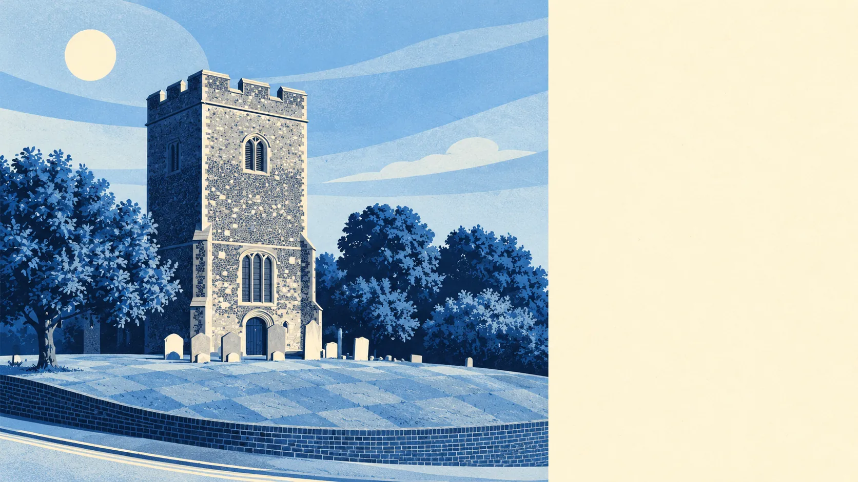
There are six listed buildings in Chadwell St Mary, one at Grade I and five at Grade II, and there is no conservation area inside the place. The Grade I is the parish church of St Mary, at the crossroads looking out over the marshes, Norman in parts with a tower added in the early sixteenth century. For almost everyone else, a rear extension or a loft conversion goes through the standard planning process with no conservation-area layer on top. Nobody will form a committee about your window frames. Most of the housing went up after the war, and the move to preserve the 1960s porch has yet to start.
Chadwell St Mary has two flood measures, and they say very different things. Of the 175 postcodes, 91% are rated high on at least one flood indicator, surface water included, and about 62% medium. In the Environment Agency's river-and-sea flood zones, about 1% of postcodes fall in Flood Zone 3 and none in Zone 2, and the Agency's own count of properties at risk from rivers and the sea finds none at high, medium or low risk. Nothing turns up on the historic flood record either. So the high flags come from the other indicators, surface water among them, and a buyer who checks the Thames and stops there has read the half of the page that was always going to be reassuring.
The 2021 census puts the typical resident at 38, and 57% of households own their home. The Office for National Statistics models gross household income at about £56,000 in the financial year to March 2023, averaged across the two middle-layer areas that cover the place. Working-age homeowners, the school run and a car on the drive make up most of the place.
Police.uk records crime in Chadwell St Mary at about 101 per 1,000 people in the year to May 2026, against 102 for Thurrock as a whole. Level, to all intents. The mix is where it gets specific: vehicle crime is 12% of the total here against 5% across England and Wales, and criminal damage and arson 13% against 7%. In a place where 58% of commuters drive to work, the thing most worth locking is the car.
The Land Registry logged 71 sales in the year to May 2026, at a typical price of about £372,000. Terraces went for around £350,000 across 43 sales and semis for about £425,000 across 24. Detached houses came in at a median of about £450,000, though that figure rests on three sales and should be read loosely. Band C is the most common council tax band, and about a quarter of homes are in Bands A or B.
Private renters across Thurrock paid a typical £1,360 or so a month as of April 2026, an average for the whole borough from the Office for National Statistics rental index, so it covers Grays and Tilbury as much as Chadwell.
The council-tax valuation list describes the stock plainly. About 46% of homes are terraced, 27% semi-detached, 16% flats, 6% bungalows and 5% detached, and only about 11% were built before 1930. Three bedrooms is the norm, at 61% of households. On energy certificates, 53% of rated homes reach band A to C, 41% sit at D and 6% are E or worse. About 80% of homes heat with mains gas, and 9% rely on electric heating alone, which is worth knowing before a viewing.
For rail, residents use Tilbury Town or Grays, and only 4% of commuters take the train. Driving is how most people get to work, at 58%, and 19% worked from home at the census. The place has 29 bus stops averaging about 52 scheduled weekday departures each, and the Department for Transport's 2019 model put the nearest town centre about 27 minutes away by public transport. That bus figure ages as services change, so read it with care. Gigabit broadband reaches 95% of premises, and all four mobile networks cover every postcode. The fibre is better connected than the commuters.
Green space is close. The average front door is about 175 metres from the nearest green space, with around 14 inside a kilometre, and water is on average about 815 metres away. The marshes the church overlooks are part of the view from the higher streets.
The history goes deeper than the post-war estates suggest. A Roman oven turned up south of the road towards West Tilbury, and building work for new facilities at Chadwell Primary uncovered a complete Saxon sunken-floored hut. The Domesday Book recorded the place as Celdewella, usually read as "cold spring". James Temple, who signed Charles I's death warrant, lived in the parish, and so did his kinsman Edward Whalley, another regicide. Even the primary school's building works came with an archaeology report, which is about as close to a planning headache as most extensions here will get.
Chadwell St Mary works for families after a three-bed terrace or semi with room to grow, who drive and want fast broadband more than a station on the doorstep. Buyers who want period character, a train within a short walk, or who would rather not think about surface water at all should look elsewhere.
It is a perfectly decent place, nothing more and nothing less. Build the extension you want, and before you spend money on the garden, find out where the rain goes.