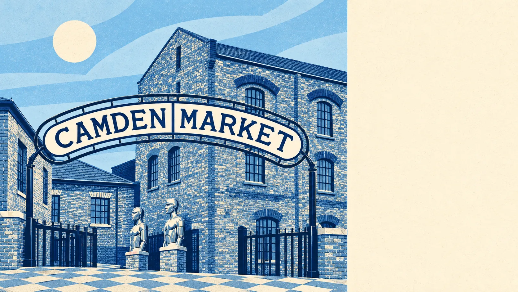
Camden Town made its name breaking rules, and a buyer here finds 42 conservation areas in and around it, every one ready to explain the rules for the back extension. Hair can be any colour. Window frames are a matter for the council. Around that, the trade comes out even: a park or square a short walk from almost every door, a crime rate well above the rest of the borough, and prices that assume you are happy in a flat.
Historic England's register counts 1,615 listed buildings in the box drawn around the area, 66 of them Grade I and 108 Grade II*, alongside those 42 conservation areas, with Camden Town, Camden Square and the Bartholomew Estate among them. For an owner, that turns a new dormer, a rear extension, replacement sash windows or a different front door into a conversation with Camden Council's planners, and on a listed building into a separate consent on top. The Roundhouse went up in 1846 to turn railway engines around. Turning round a planning application in its shadow takes about as much machinery.
The Metropolitan Police recorded crime at about 291 offences per 1,000 residents in the year to May 2026, roughly 29% above the average for the borough of Camden. The mix explains the reputation. Theft from the person makes up about 16% of recorded crime here, against about 2% across England and Wales, and other theft about 15%, against about 7%. Violence and sexual offences come to about 18%, against roughly 35% nationally. What gets taken here mostly leaves in a pocket that belongs to somebody else, and the weekend market crowds supply the pockets.
The Land Registry logged 207 sales in the year to May 2026 at a typical price of about £706,000. Flats made up 171 of those and went for about £635,000; the 32 terraced houses fetched a typical £1,376,250, and the four semi-detached sales £2,400,000. Band D is the most common council tax band, and only about 12% of homes are in bands A or B. Up to at least the middle of the last century, Camden Town was considered unfashionable. Somebody forgot to tell the terraces.
Renting is no cheaper a way in. Camden Council's whole borough has a typical private rent of about £2,720 a month as of April 2026, a mean from the Office for National Statistics' index, with a one-bed at about £1,980 and a three-bed at about £2,950.
The council tax valuation list, which covers every home, puts about 90% of dwellings down as flats and 8% as terraced houses, with semis and detached houses barely registering. About 43% were built before 1930. Among homes with an energy certificate, about 62% are rated A to C and about 8% E or worse. About 59% of homes heat with mains gas, and about 15% rely on electricity alone, a running-cost question worth having answered about any particular flat before the second viewing. The Georgian terrace is the postcard. The post-war block is where most people actually live.
About 23% of households own their home and the typical resident is 33. The Office for National Statistics models gross household income at about £73,900 for the financial year to March 2023, averaged across the area. Those three figures together describe a place full of well-paid people who rent, because owning here mostly means having arrived some time ago. Beryl Bainbridge lived on Albert Street from the 1960s until her death in 2010, and B. R. Ambedkar spent 1921 and 1922 at 10 King Henry Road, a house now named after him. Both arrived when the rent was the easy part.
Getting about is the easy part. The area has 371 bus stops, each averaging about 31 buses in the peak hour, and about 99% of those stops are served at weekends. Camden Road and Kentish Town give rail options on the doorstep, and Euston, St Pancras International and King's Cross are within walking distance. About 70% of households have no car, which is the only sane position on main roads designated as red routes where vehicles may not stop for any reason. Gigabit broadband reaches about 90% of premises, handy for the roughly 51% of workers who were at home at the 2021 Census.
Flood risk comes from the sky. The Environment Agency's river and sea flood zones cover none of the area, but about 21% of postcodes are rated high on at least one flood indicator, surface water included. The River Fleet still runs beneath the area in a culvert, so the water that matters to a basement flat is the downpour that cannot drain fast enough.
Ofsted has graded every one of the 25 settings in the borough that carry a published grade as good or better, 13 of them outstanding. End-of-primary maths scores average about 106 across 13 local primaries, among them Hawley Primary School and Primrose Hill School, and the Attainment 8 score at sixteen averages about 44 across the three secondaries, including Regent High School. The primary years are the strong stretch.
The surroundings are where Camden Town is easiest to love. The nearest green space is about 100 metres from the average front door, and water about 440 metres, mostly the Regent's Canal running through the north of the area. Regent's Park is on one side, Chalk Farm and the hill above it on the other, and the page's reach runs down through Somers Town and Bloomsbury to Baker Street. A flat with no garden matters less when the garden is a royal park.
Camden Town is right for renters and flat buyers who want buses all night, a canal for the morning walk and a park closer than the corner shop, and who will live with a crime rate that is mostly about phones. Families wanting a house with room to grow should look further out, because the houses cost over a million and the room to grow needs permission. Anyone who buys a period house here should expect the council to have opinions about it for as long as they own it. Weigh the parks against the paperwork and Camden Town lands squarely in the middle: generous outside the front door, strict about everything behind it.