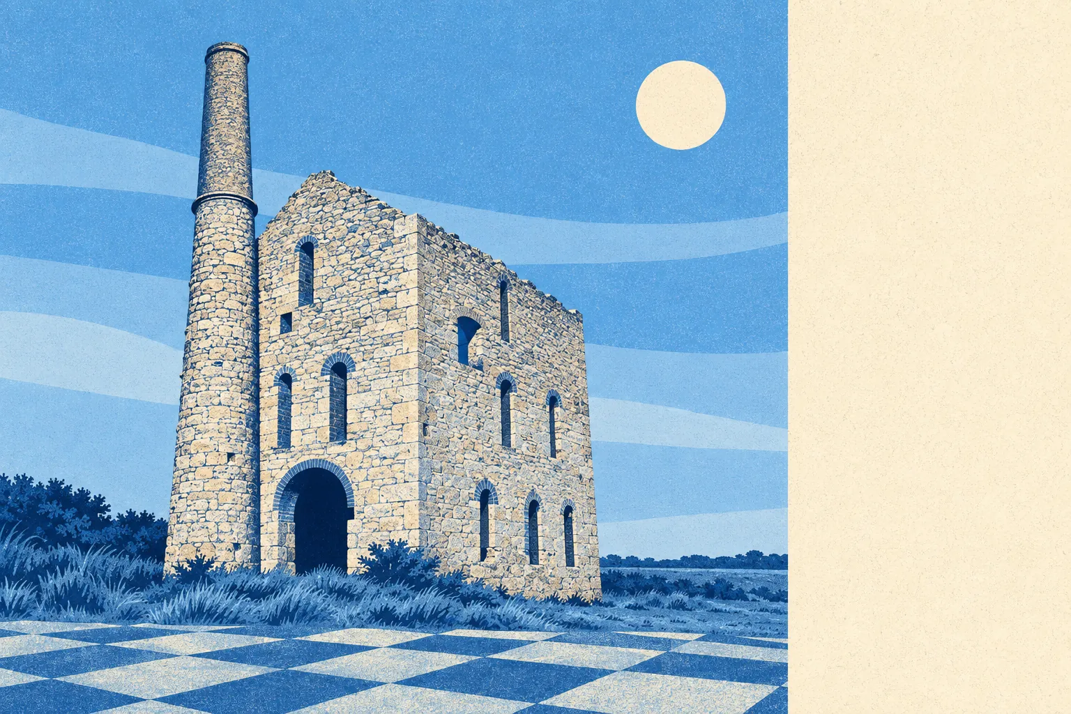
The area around Camborne is comfortably the best thing about living here. Open green space starts around 130 metres from the average front door. The parish runs all the way north to a coastline with a cove named after dead men. A neolithic hilltop enclosure sits above the whole town. None of it carries a protected-landscape label, which is exactly why you can walk into it without queueing behind a coach party.
Green space is close and there is a lot of it. The average postcode has around 22 separate areas of accessible green space within a kilometre, and the nearest one is about 130 metres away. That is not a park at the end of town, it is green space embedded in the street pattern, which is what happens when a settlement grows around mine workings and stream valleys rather than a master plan.
Water is nearly as close. Accessible blue space averages about 700 metres away, with roughly 11 separate bodies of water within a kilometre. The parish boundary reaches the coast at Hell's Mouth and Deadman's Cove, with the South West Coast Path running along the top of it, and the Red River valley cuts north through Tuckingmill on its way there.
For getting out under your own power, the National Cycle Network sits about 400 metres from the average postcode, and roughly 65% of postcodes are close to it. There is no ancient woodland in the area at all, so the walking here is coast, moorland edge and stream valley rather than old forest.
The high street is a proper working one rather than a gift-shop parade. The valuation list carries 212 shop premises, 17 pubs and 5 restaurants. A town with more than three times as many pubs as restaurants has answered the question of where it eats out, and it answered it some time ago.
Air quality is clean by English standards. Fine particle levels across the Cornwall council area measured about 5 micrograms per cubic metre in 2024, which is a council-area figure rather than a street-level one.
The character of the surroundings comes from what the mining left behind and what was there long before it. Carn Brea rises above the town carrying a neolithic hilltop enclosure, a medieval castle and mineral workings on the same hill. Scattered around the parish are a portal dolmen known as the Giant's Quoit at Carwynnen, a small stone circle called the Nine Maidens, and a cliff castle at Crane Castle on the coast. Beyond the built-up edge sit the hamlets and villages that this page also covers, Penponds, Troon, Tolvaddon, Praze-an-Beeble and Reawla, along with Barripper, Kehelland, Bolenowe and Reskadinnick. The transition from town to open country happens within a few streets.
Private outdoor space is generous too. Gardens across the area work out at roughly 97,000 square metres per 1,000 residents, which is a real back-garden culture rather than a strip of paving behind a terrace. The stock here was built with ground to stand on.
On what is actually present, the valuation list records 470 rateable premises in total, including 83 office premises and 47 holiday lets alongside the shops and pubs. Those are premises on a list rather than businesses currently trading, so treat the count as capacity rather than a directory of open doors.
Eating out comes with unusually little risk. Across 88 rated food premises, about 96% hold the top food hygiene score and none sit at the bottom of the scale.
One honest absence is worth naming: there is no area of outstanding natural beauty, no site of special scientific interest and no ancient woodland overlapping this area. The landscape here is unbranded rather than unremarkable, and the practical consequence is fewer designation constraints and fewer visitors in it.
The surroundings are where Camborne is genuinely excellent, and they are excellent in the useful way: close, accessible and largely yours. Walk ten minutes in almost any direction and you are out of the town without having driven anywhere.