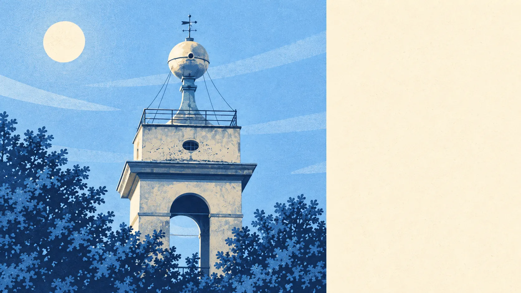
The country around Camberley is heath, pine and old military ground, and it starts close to the front door. Green space is a couple of minutes' walk from most homes. Lakes and ponds are close by too. The high street has more offices than pubs. It's a place for walking the dog, not for a night on the tiles.
Green space is easy to reach. The average home is about 210 metres from the nearest green space and has about 14 within a kilometre. In practice, most people don't need to drive anywhere to get a walk, and the ones who do are usually heading somewhere bigger by choice.
Water is close as well. The nearest blue space, meaning lakes, ponds, rivers and canals, is about 740 metres away on average, with about 13 within a kilometre. The Basingstoke Canal runs through the villages to the south and has its own conservation areas along the towpath.
Getting further out takes more effort by bike. The National Cycle Network is about 7 kilometres away on average, and no postcodes sit close to it. Cyclists here tend to load the bike on the car first, which is about as Camberley as a hobby gets.
The high street is broad but not showy. The rated-premises data counts 435 shops, 26 pubs and 64 restaurants, alongside 558 offices. A town with more offices than shops is a town that goes to work during the day and home in the evening, and the pub count reflects that.
Air quality is good for somewhere this close to the motorway. Fine-particle pollution across Surrey Heath averaged about 7.2 micrograms per cubic metre in 2024, a figure for the council area as a whole rather than any particular street.
The surrounding landscape carries a lot of history for a commuter belt. Scheduled monuments nearby include Bronze Age bowl barrows on the local commons, a Romano-British settlement at Wickham Bushes, stretches of Roman road in the forest to the west, and a set of Napoleonic practice redoubts in the nearby woods, where soldiers dug earthworks to rehearse for an invasion that never came. Historic parks at Bagshot Park, Frimley Park and Minley Manor are within easy reach. Closer in, Camberley Heath Golf Club has been open since 1914 and later turned up as a filming location for the BBC's Killing Eve. The Obelisk still stands on The Knoll, and nobody is certain what it was built for. That fits a town whose best landmark is a mystery.
Private gardens are generous. Across the area there are about 146,000 square metres of private garden for every 1,000 residents, which fits a town where the detached house with a back lawn is the default. Public green space is only part of it. Plenty of residents' outdoor space starts at their own back door.
The business rating list holds 1,230 rateable premises, with offices the largest group and shops next. These are premises on the valuation list, not a count of businesses trading today, so an empty unit counts the same as a busy one.
Food hygiene is solid. Of the 220 rated food premises, about 72% hold the top score and about 3% sit at the bottom of the scale. Most places pass their inspections comfortably.
No area of outstanding natural beauty or site of special scientific interest overlaps the town itself, and there's no ancient woodland. That doesn't make the surroundings dull. The heath and pine country is managed land with a long military past rather than protected wilderness, and it's no worse to walk through for that.
The surroundings are one of Camberley's real strengths: green space almost everywhere, water within a walk, and history under the heather for anyone who looks.