The area around Bruton is working countryside rather than a scenic reservation. Green space starts a few hundred metres from the average doorstep. Water is closer still. The town itself amounts to a few dozen trading premises and a handful of pubs. Almost none of it carries a national landscape designation, and it has never needed one to look the part.
On green space, the average postcode across the area sits about 450 metres from a public one, with roughly seven or eight of them inside a kilometre. That is not the sort of park you drive to on a Sunday. It is the sort where the dog picks the route and you follow.
Water is nearer than grass. The average postcode is about 230 metres from blue space, with 29 separate stretches of it within a kilometre. That is the work of the Brue, a river whose name translates as vigorously flowing and which has never been accused of overselling itself.
Cycling is where the countryside stops cooperating. The nearest National Cycle Network route averages about 8 kilometres away, and no postcode in the area counts as close to one. No ancient woodland is recorded here either. Riding around Bruton means lanes, hedges and sharing tarmac with agricultural vehicles that were here first.
The valuation list records 206 rateable premises across the area, which is a useful check on anyone's impression of the high street. Among them are 33 shops, 29 offices, 4 restaurants, 3 pubs and 12 holiday lets. Those are premises on a list rather than a guarantee that every door is open and trading, and the holiday-let count says something about who the town has been dressing itself for.
Eating out is better regulated than it is plentiful. Of 46 food premises with a published hygiene rating, about 63% hold the top score and about 2% sit at the bottom end. Four restaurants and three pubs is not a scene. It is a short list you will work through by the second month and then have opinions about for years.
Air quality is measured across the council area rather than the town, and fine-particle levels for Somerset averaged about 5.5 micrograms per cubic metre in 2024. That covers every road and settlement in the authority, not the lane outside any particular house.
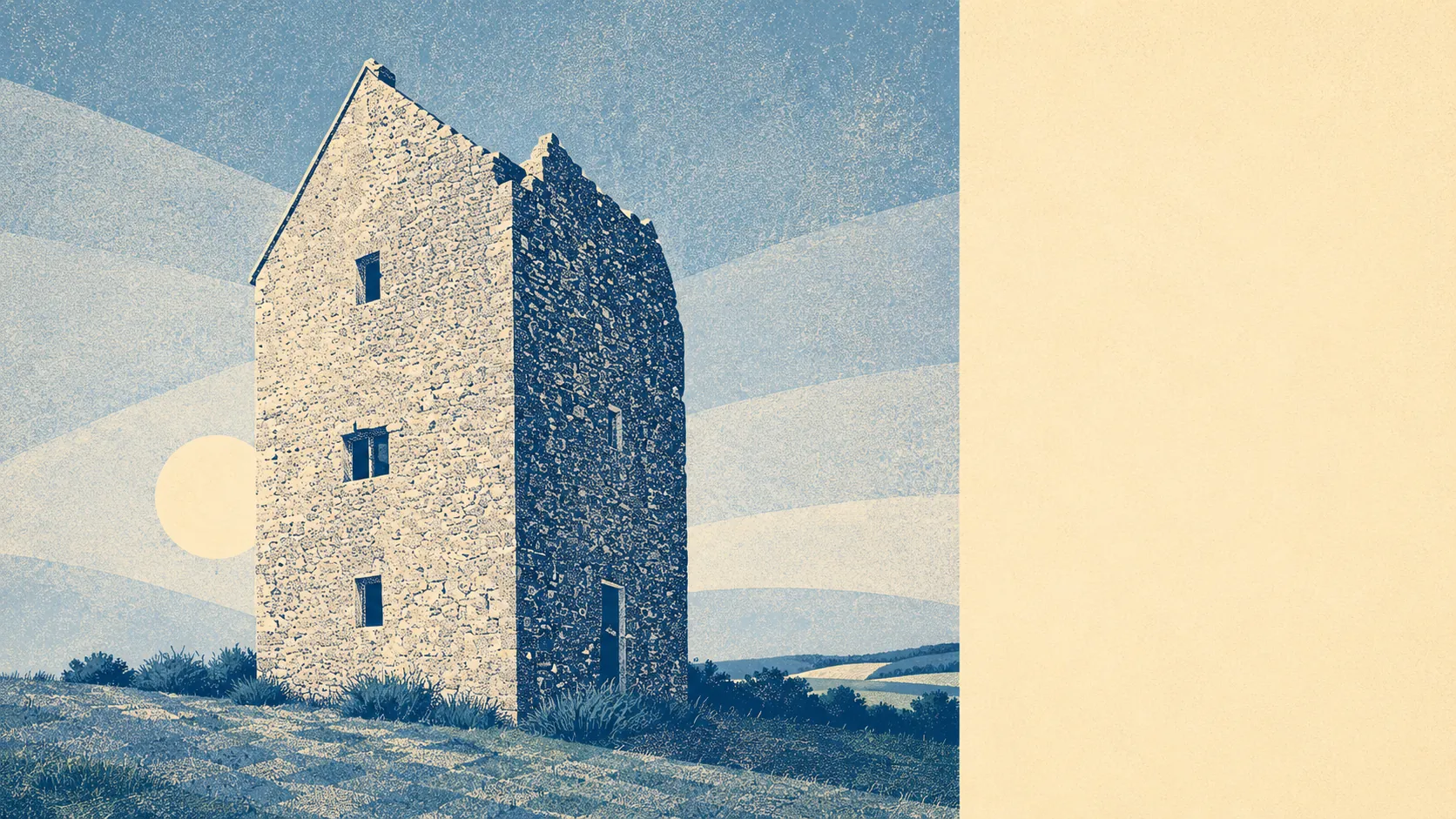
The character comes from what surrounds the town rather than the town itself. Stourhead and its landscape garden sit within reach, along with Alfred's Tower and Redlynch Park, and the villages that share the postcode do most of the scenery: Brewham, Pitcombe, Redlynch, Wyke Champflower, Batcombe and Hadspen. Above the town the sixteenth-century Dovecote sits in National Trust hands, having been a house, possibly a watchtower, and eventually accommodation for a great many pigeons. Few places have a landmark with a more indecisive career.
Private outdoor space is where rural arithmetic finally tells the truth. The area holds roughly 395,000 square metres of private garden per 1,000 residents. Whatever else this town runs short of, it is not grass to mow, and anyone arriving from a city terrace should factor in the cost of a mower before the cost of a sofa.
None of it is nationally designated. No area of outstanding natural beauty covers this ground, and no ancient woodland is recorded. The only site of special scientific interest touching the area covers about 1% of it, at Godminster Lane Quarry and Railway Cutting, and that is protected for the limestone and ammonites in its rock face rather than for anything you would photograph. The countryside here is not preserved because a committee decided it was exceptional. It just quietly gets on with being countryside.
The surroundings are the finest thing Bruton has, and nothing else on its record comes close. Green in every direction, water at the end of most streets, and not a single interpretation board explaining why you should be impressed.