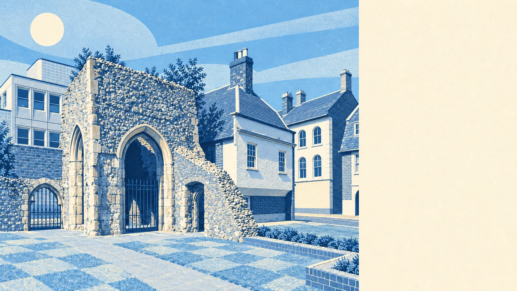
Brentwood is a commuter town with countryside pressing in on every side. Parks are a few minutes from almost every front door. Two country parks frame the edges. The High Street has more pubs than a town this size strictly needs. The one thing missing is an official badge saying how pretty it is.
The average home is about 180 metres from the nearest public green space, and has about 18 of them within a kilometre. That is a park, a common or a playing field at the end of the road for most people, rather than something you drive to on a Sunday.
Water is close as well, at about 420 metres from the average home, with about 12 ponds, lakes or streams within a kilometre. None of them is big enough to build a town's identity on, but there is always somewhere for the dog to get muddy.
Cyclists do less well. The nearest stretch of the National Cycle Network is about 4.4 kilometres away on average, and no postcode in the area is close to it. Getting into the countryside by bike means local lanes, not a signed route.
The rated-premises count puts 480 shops, 42 pubs and 47 restaurants in and around the town. The pub count has history behind it. Brentwood was a coaching stop on the London road, and the army stayed at Warley Barracks until the late 1950s. The soldiers left and the pubs stayed open.
Brentwood borough recorded fine-particle pollution of about 7.5 micrograms per cubic metre in 2024.
The character changes quickly as you leave the centre. Weald Country Park is on the western side, and Thorndon Park, with the remains of Old Thorndon Hall, lies to the south. There is open common land within a short walk of the High Street. Beyond the edge of town, South Weald, Great Warley, Herongate and Hutton Village are conservation areas with their own churches, halls and lanes, and Mountnessing still has its windmill. Ten minutes in any direction from a Shenfield cul-de-sac gets you somewhere that looks like a postcard.
Private gardens add plenty more. Across the town there are about 128,000 square metres of garden for every 1,000 residents, which is generous for a place where flats make up a large share of the housing. The semis and detached houses carry most of it, and their back gardens add a lot of green to the map.
The council's valuation list counts 1,527 rateable premises. Shops lead at 432 and offices come close behind at 419, followed by 87 car parks and 58 warehouses and stores. These are premises on a valuation list, and some of them may be empty at any given moment. Offices almost matching shops is the clearest sign of a town where a good share of people come to work as well as leave for it, even after Ford's barracks site took the big jobs elsewhere.
Of 354 food premises with a hygiene rating, 79% hold the top score and about 1% sit at the bottom of the scale. Eating out here is a low-risk exercise.
No area of outstanding natural beauty, site of special scientific interest or ancient woodland overlaps the area. Brentwood's green belt has none of the official labels and plenty of footpaths, and the walkers in Weald Country Park have never asked to see the paperwork.
The surroundings are one of Brentwood's real strengths. Green space starts almost at the front door, and the countryside is closer than anywhere this near to London has any right to expect.